ES458/558 River Geology and Rafting


Introductory Materials (Adobe Acrobat Format)

ES458/558 Summer 2014 Class Syllabus

2014 Introductory Letter / What to Bring
2014 Field Trip Itinerary (Tentative- Subject to Change)
Rafting Guidelines
  • Click Here for Rafting Adventure Photos from past years...
  • Click here to visit happy campers....This could be you...
  • Click here to visit more happy campers! This could be you too...

    Bulletin Board **Check Here for Class News and Events**

    New Post Oct. 2014 - Topo Bases Maps (La Pine-Finley Butte-HWY197-Fairbanks-Deschutes State Rec.)

    Good Work Team 2014 - a successful learning adventure! Final Class Portfolio Due September 1, 2014.

    Click Here for Class Portfolio Instructions (Due September 1, 2014)
  • Click Here for 2014 Field Stop Summary
  • Click Here for Lower Deschutes River Flow Data 2014 (Courtney's Field Notes)

  • 2014 Field Photos I - Whitewater / Rapids Photos (*.zip)
  • 2014 Field Photos II - Field Stops / Team Photos (*.zip)
  • 2014 Field Photos III - Field Stops / Team Photos (*.zip)
  • 2014 Field Photos IV - Field Stops / Team Photos (*.zip)
  • 2014 Field Photos V - Field Stops / Team Photos (*.zip)

    Work Sample: Example Final Project Portfolio from 2009

    Readings and Support Materials for Portfolio Completion

  • Columbia Gorge Cataclysms / Geomorphology (OConnor and Burns,2009)
  • Overview of Columbia River Basalts (Tolan et al., 2009)

  • Orr and Orr (1999) - High Lava Plains, Deschutes-Columbia Plateau, Cascades
  • Orr and Orr, 1999 - Overview of Deschutes-Columbia Plateau

  • Jensen and others, 2000 - Description of Newberry Field Stops
  • Jensen and Chitwood, 2000 - Newberry Caldera Uplift
  • Chitwood and Jensen (2000) Prehistoric Flooding Along Paulina Creek

  • O'Connor et al., 2003a - Overview of Deschutes Geology, Hydrology, Geomorphology
  • O'Connor et al., 2003b - Quaternary Geology and Geomorphology of the Deshutes River Canyon
  • Bebee et al., 2002 - Middle Deschutes Field Geology

    Class Notes and Field Trip Guide

    The class notes are organized according to their order of occurrence throughout the term. They are available in Adobe Acrobat Reader (PDF) Format. Acrobat Reader is invoked as a plug-in within the web browser environment. It is available on most machines at WOU. Acrobat Reader can be downloaded for free by returning to Taylor's Home Page

    Exam study guides will be included as the term progresses. Please check future postings as exam time approaches

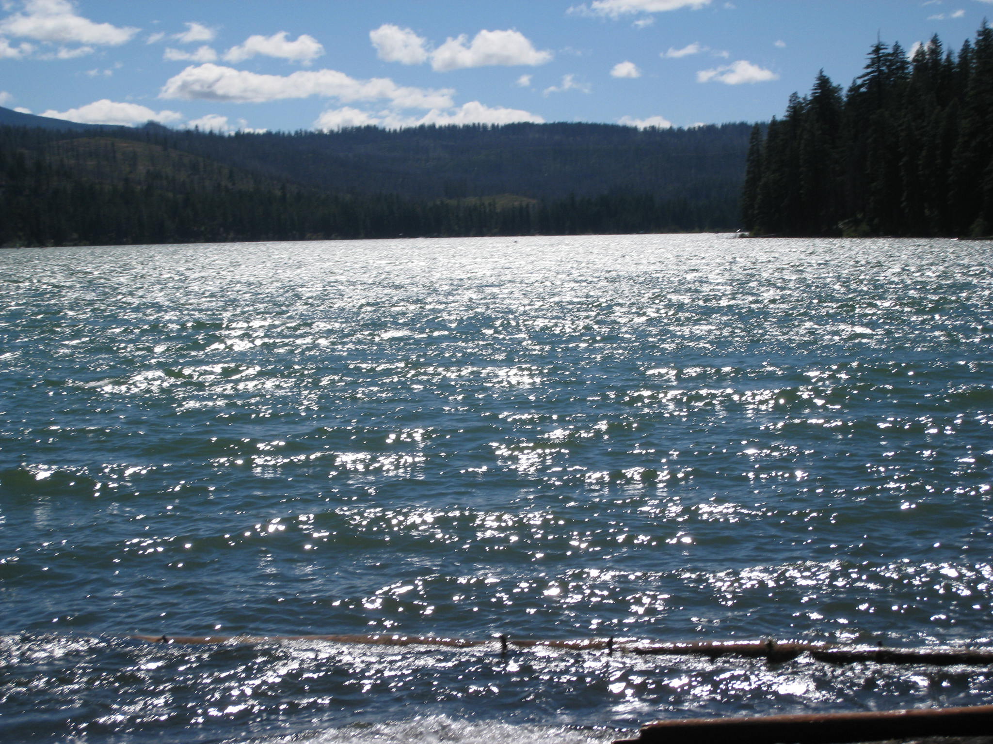
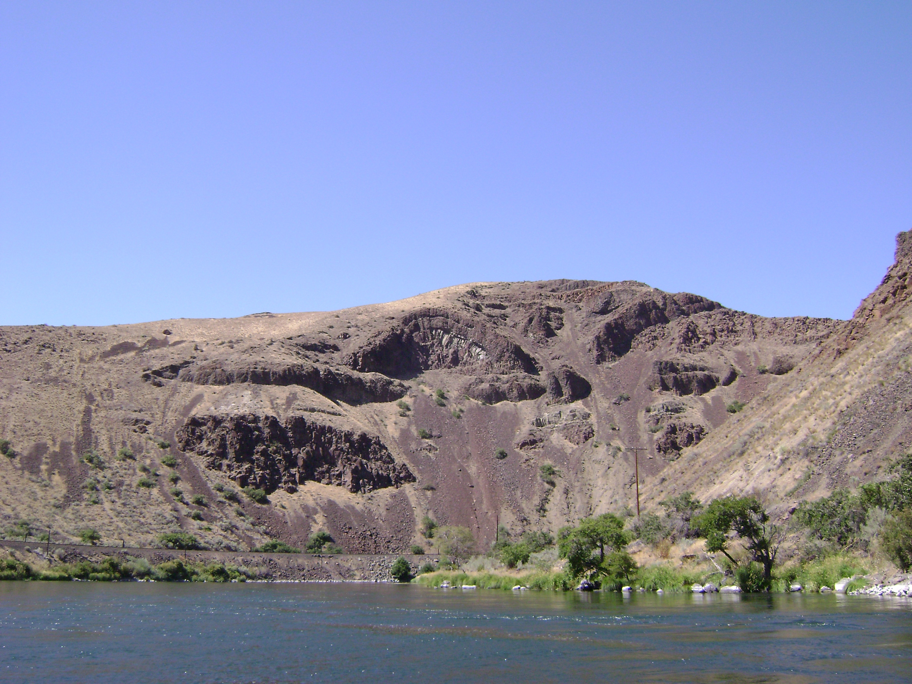
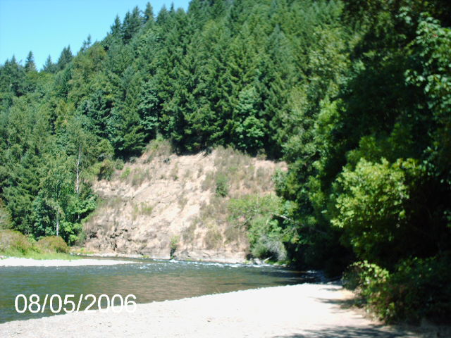
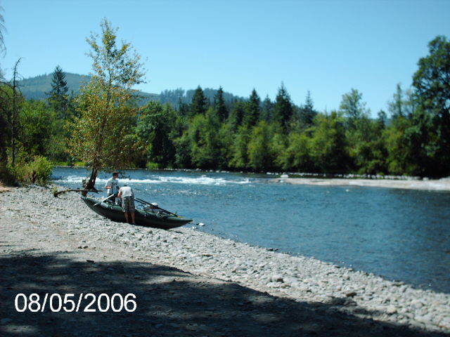
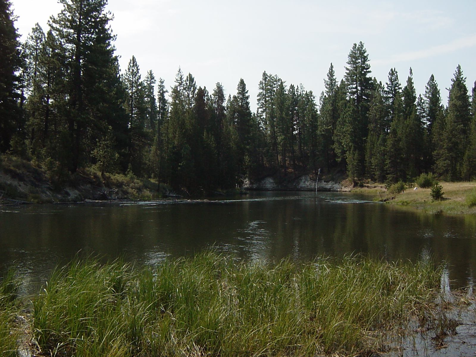
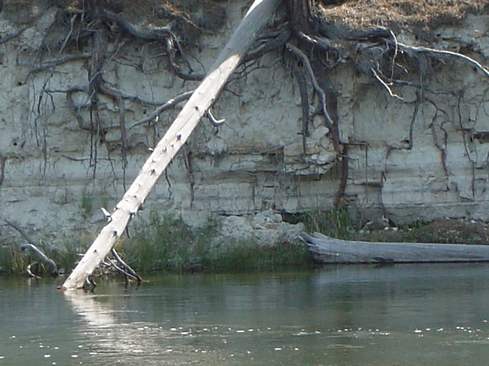
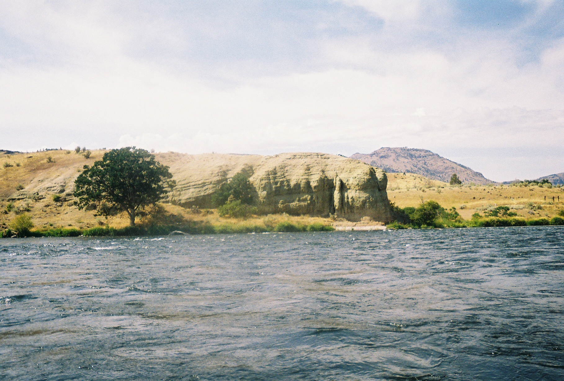
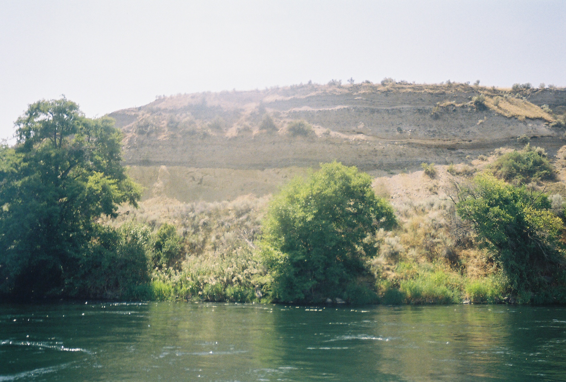
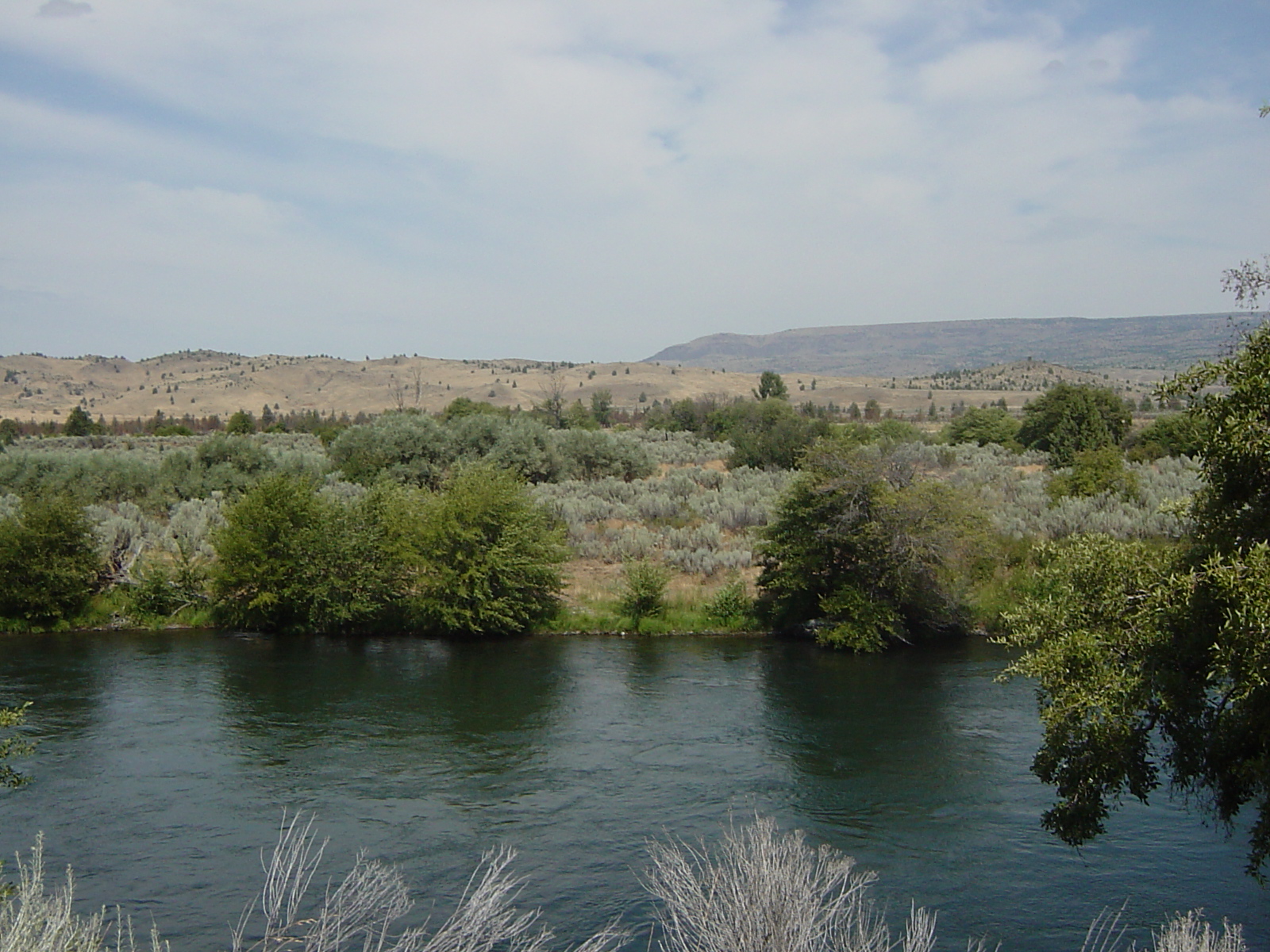
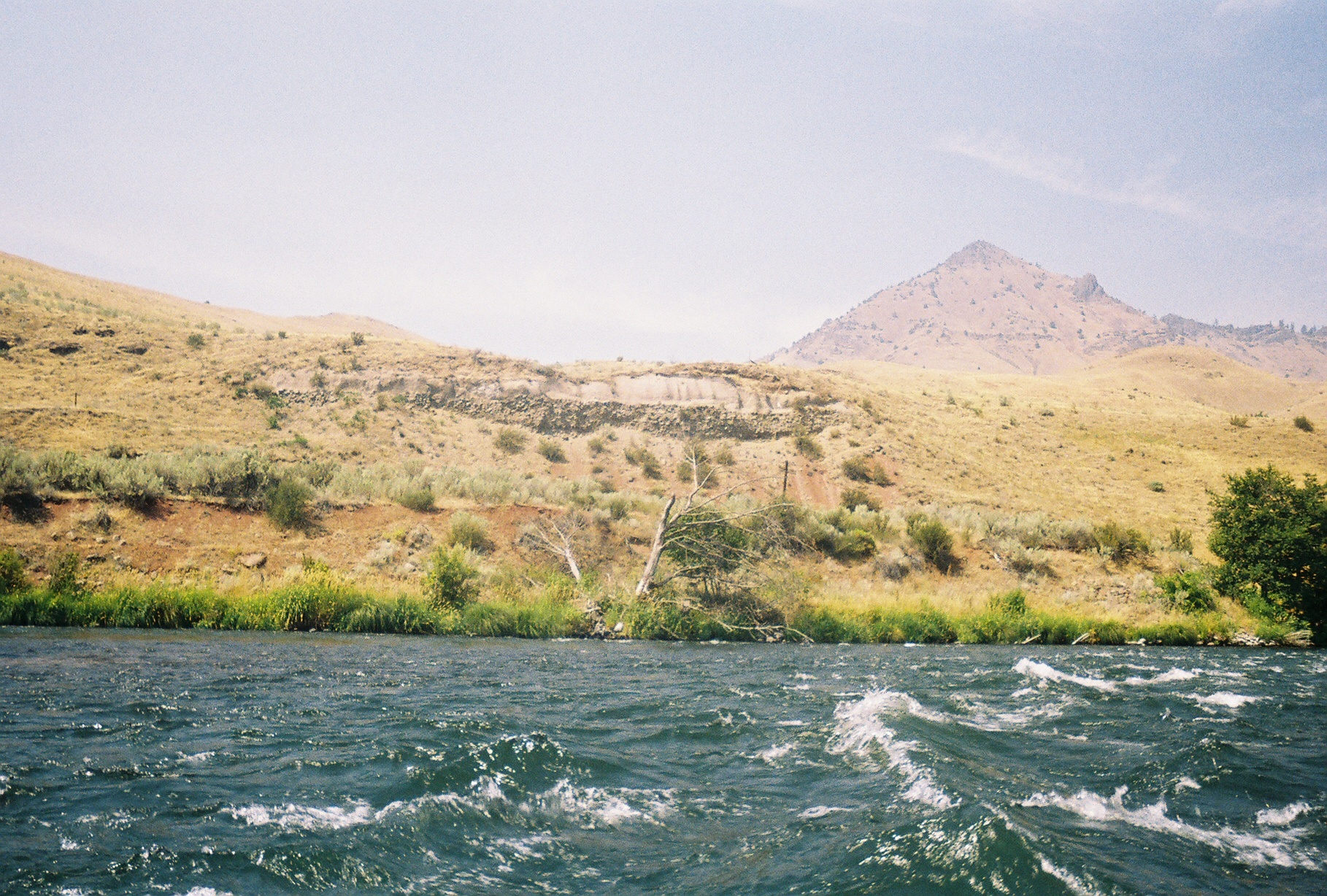
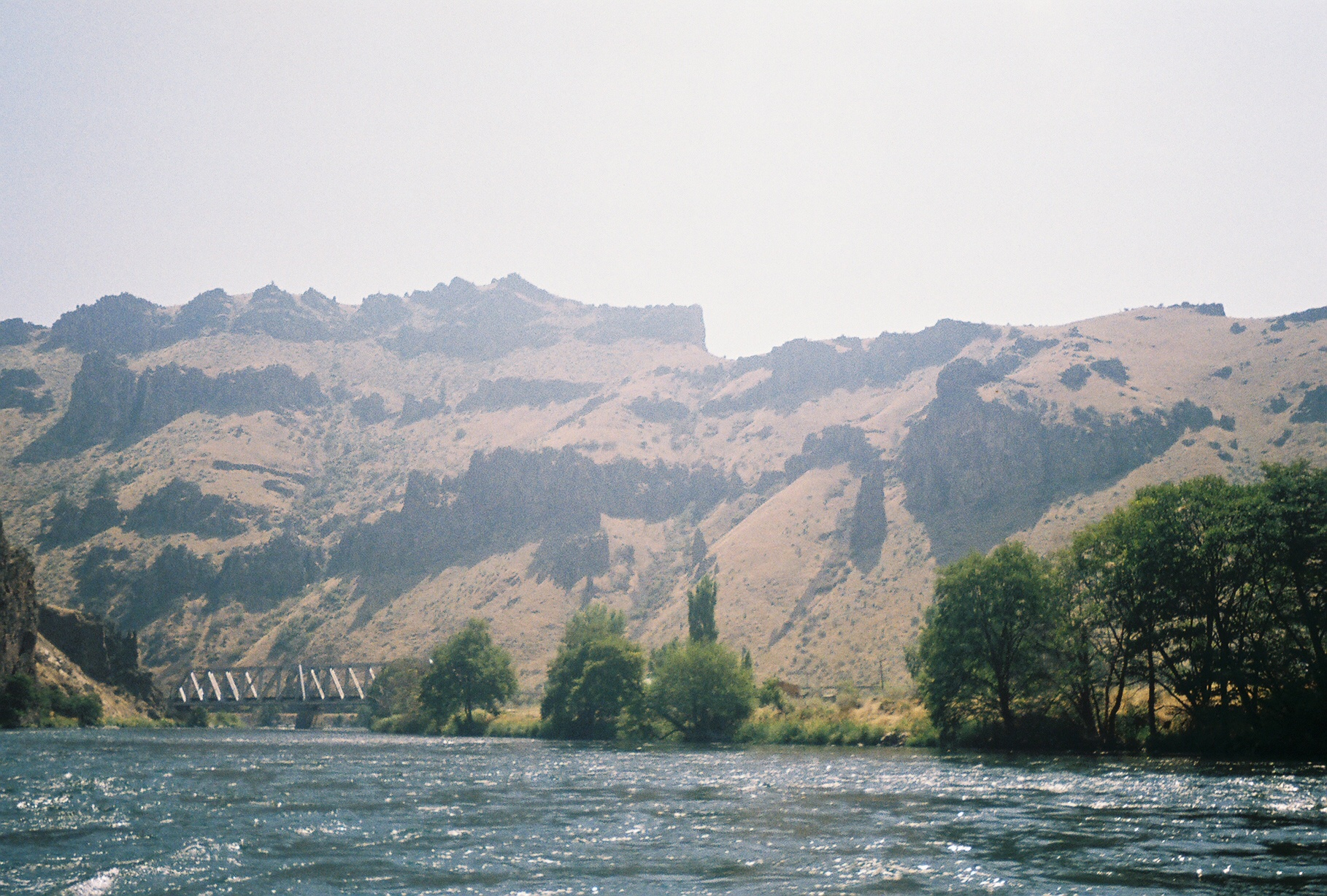
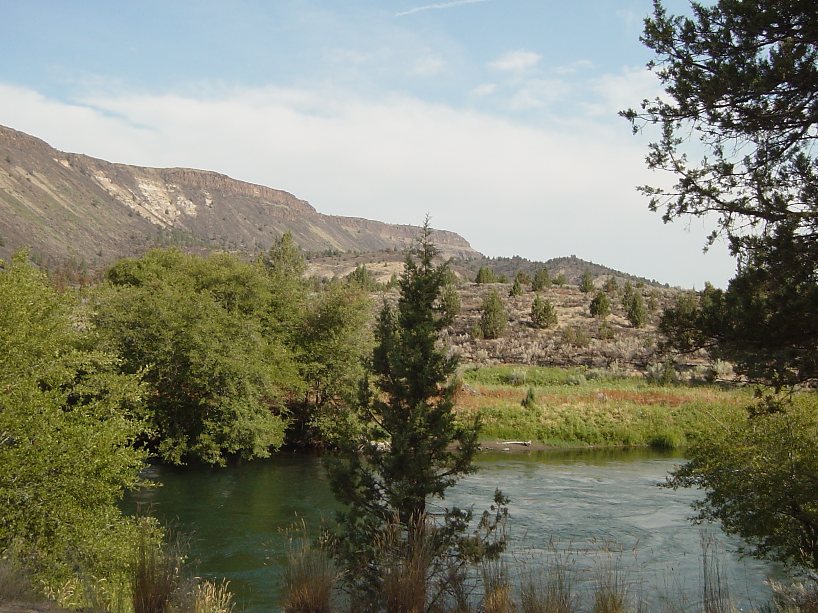
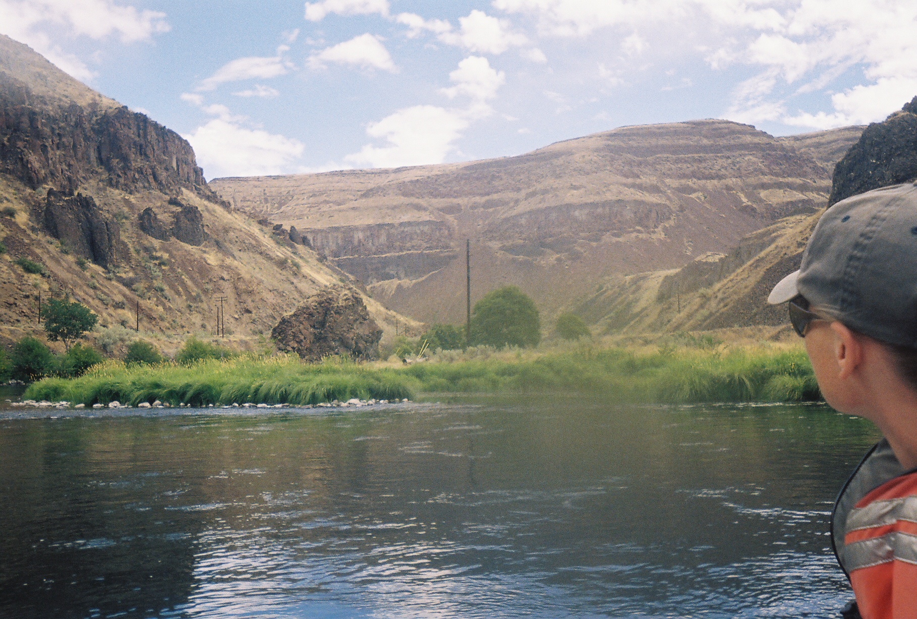
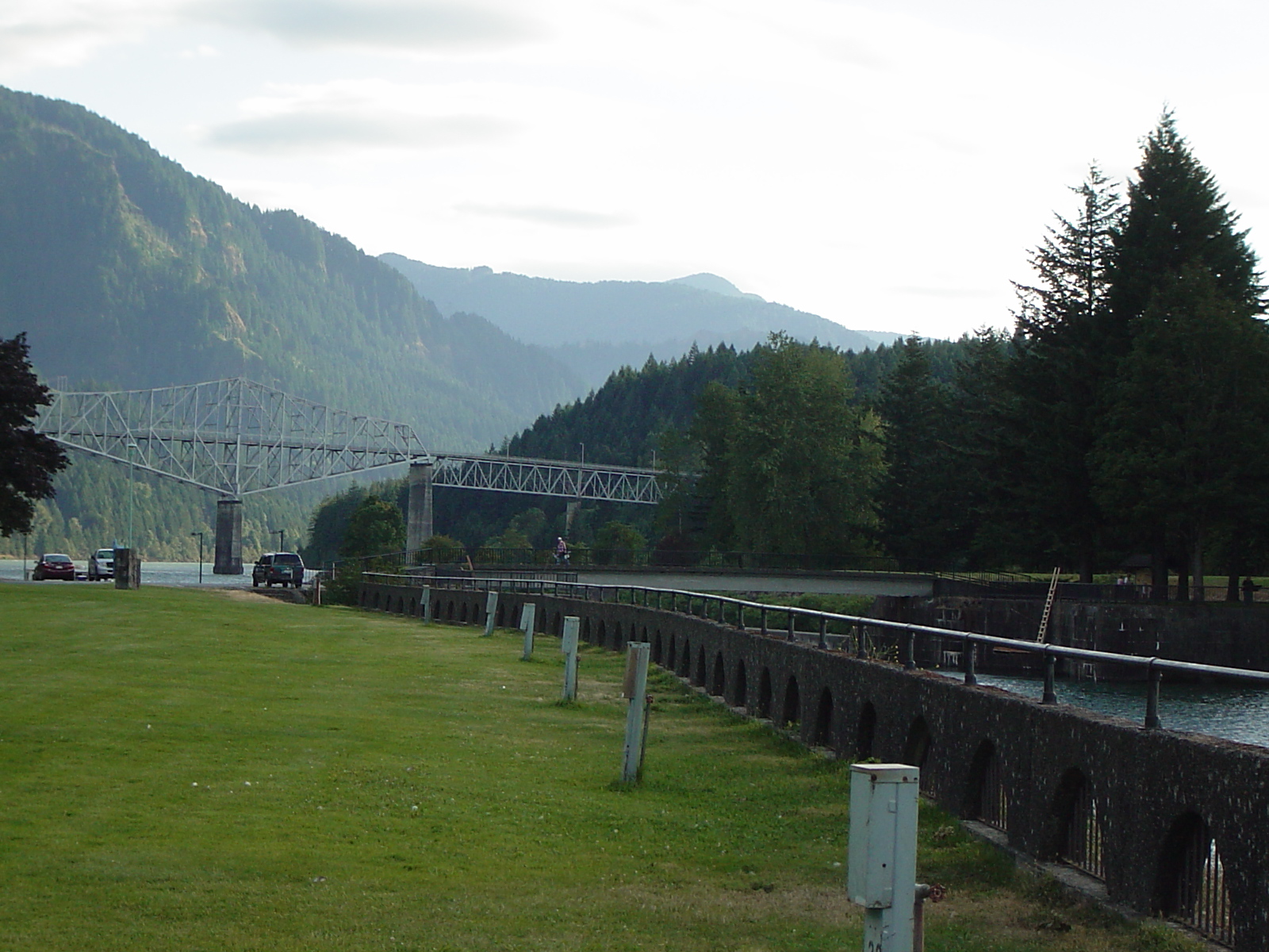
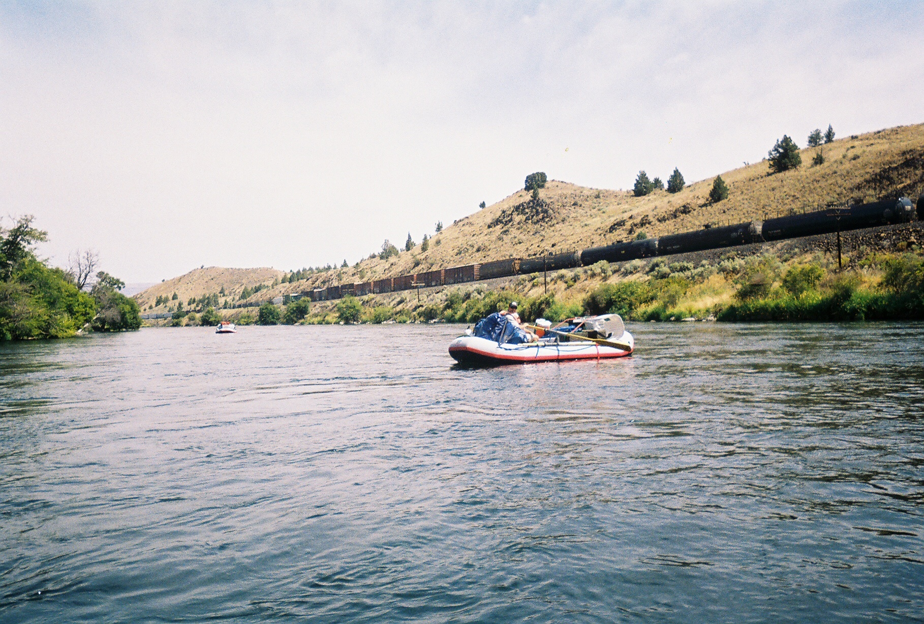
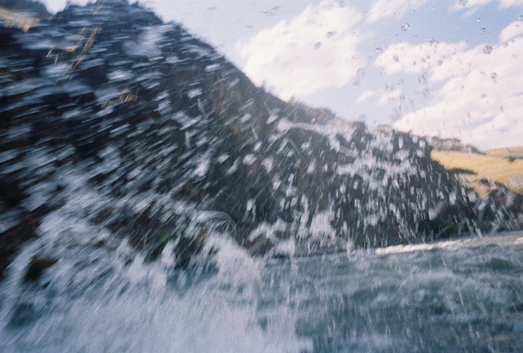
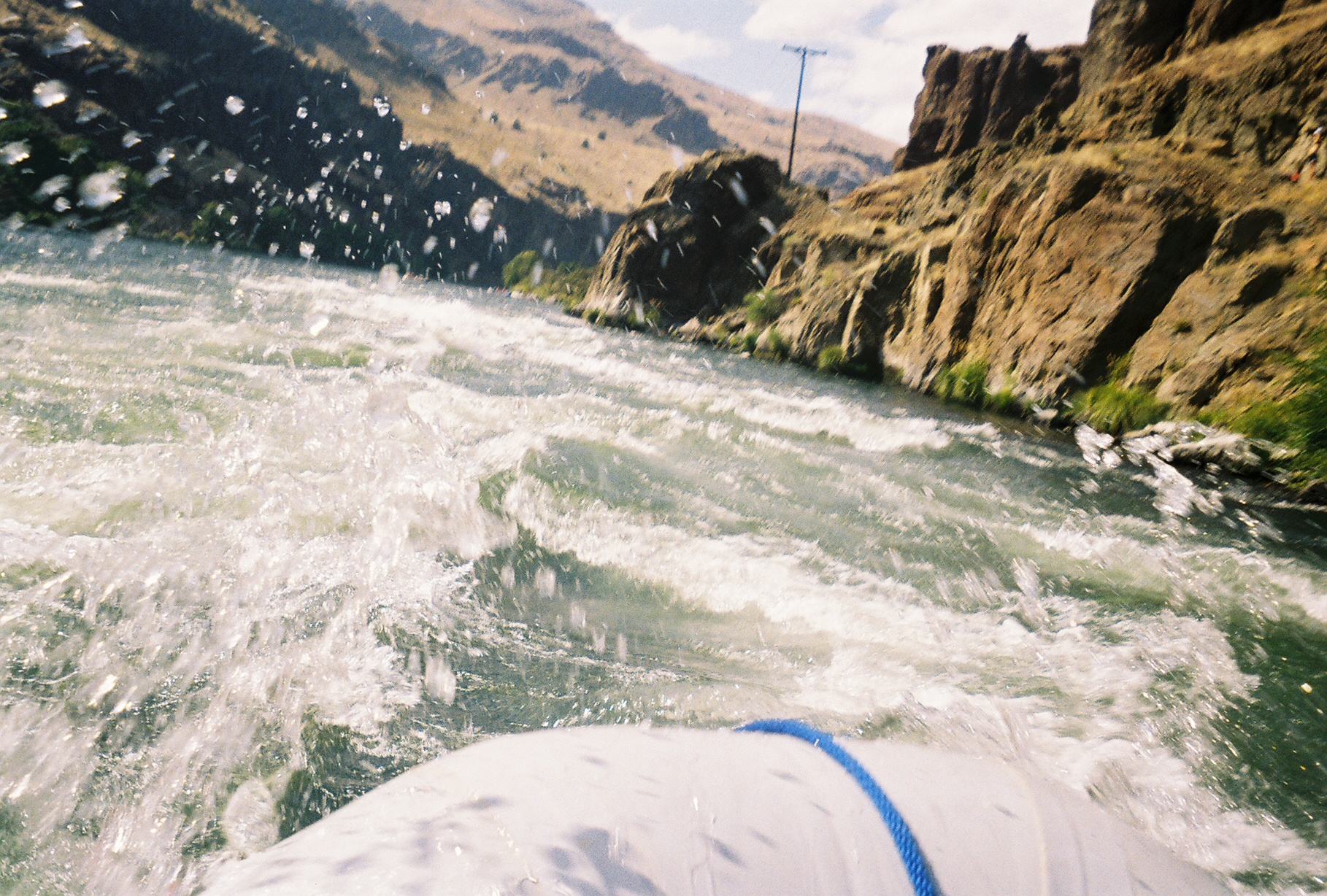
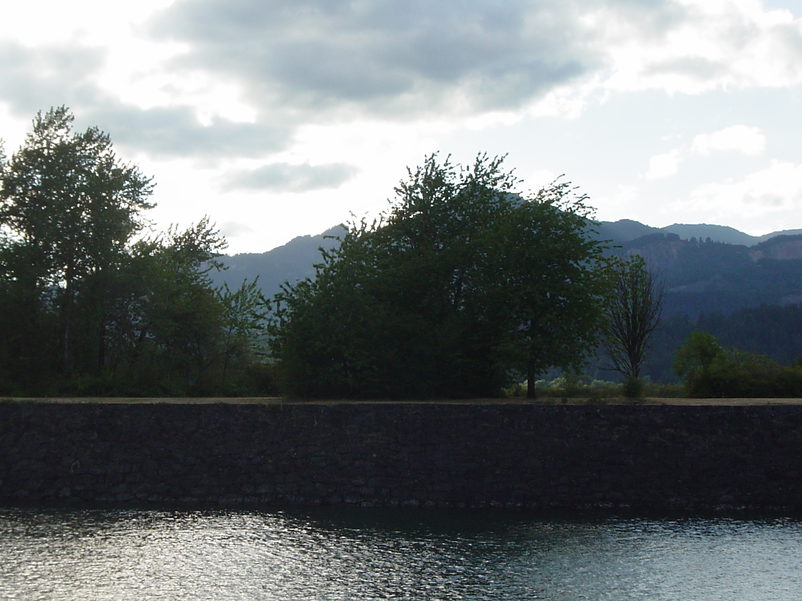
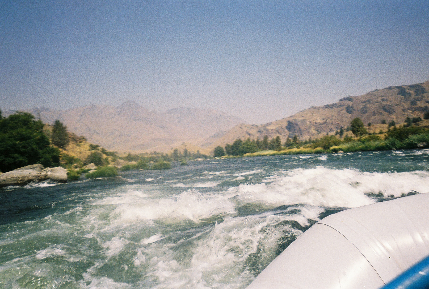
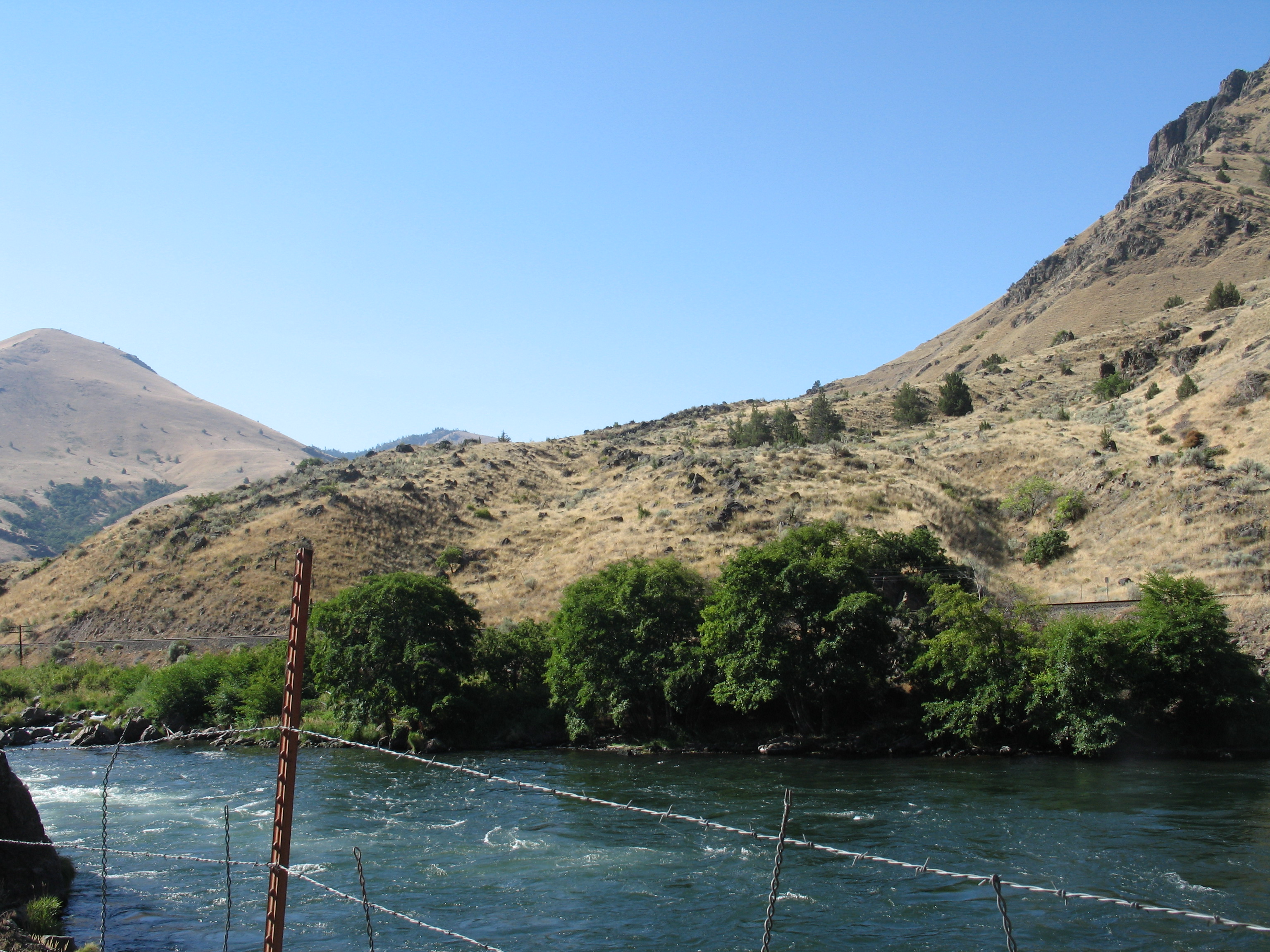
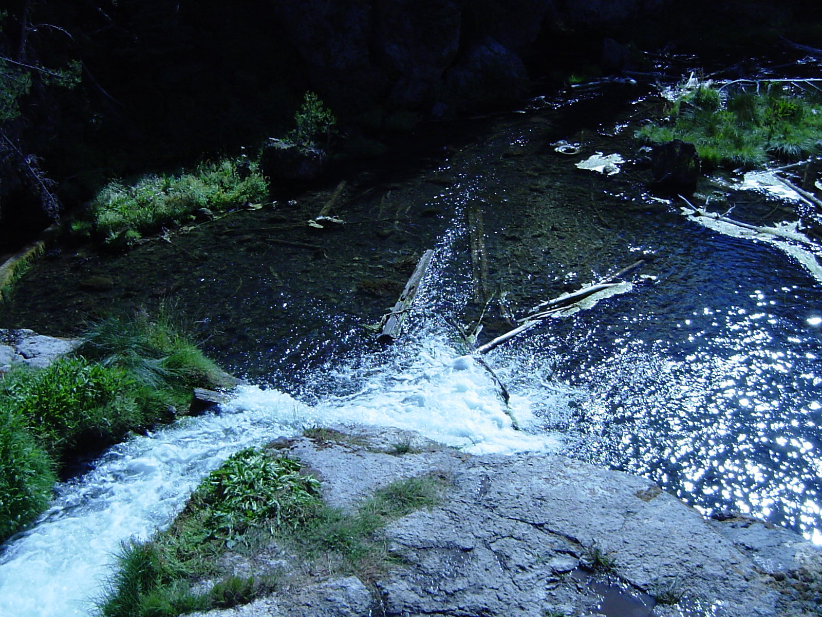
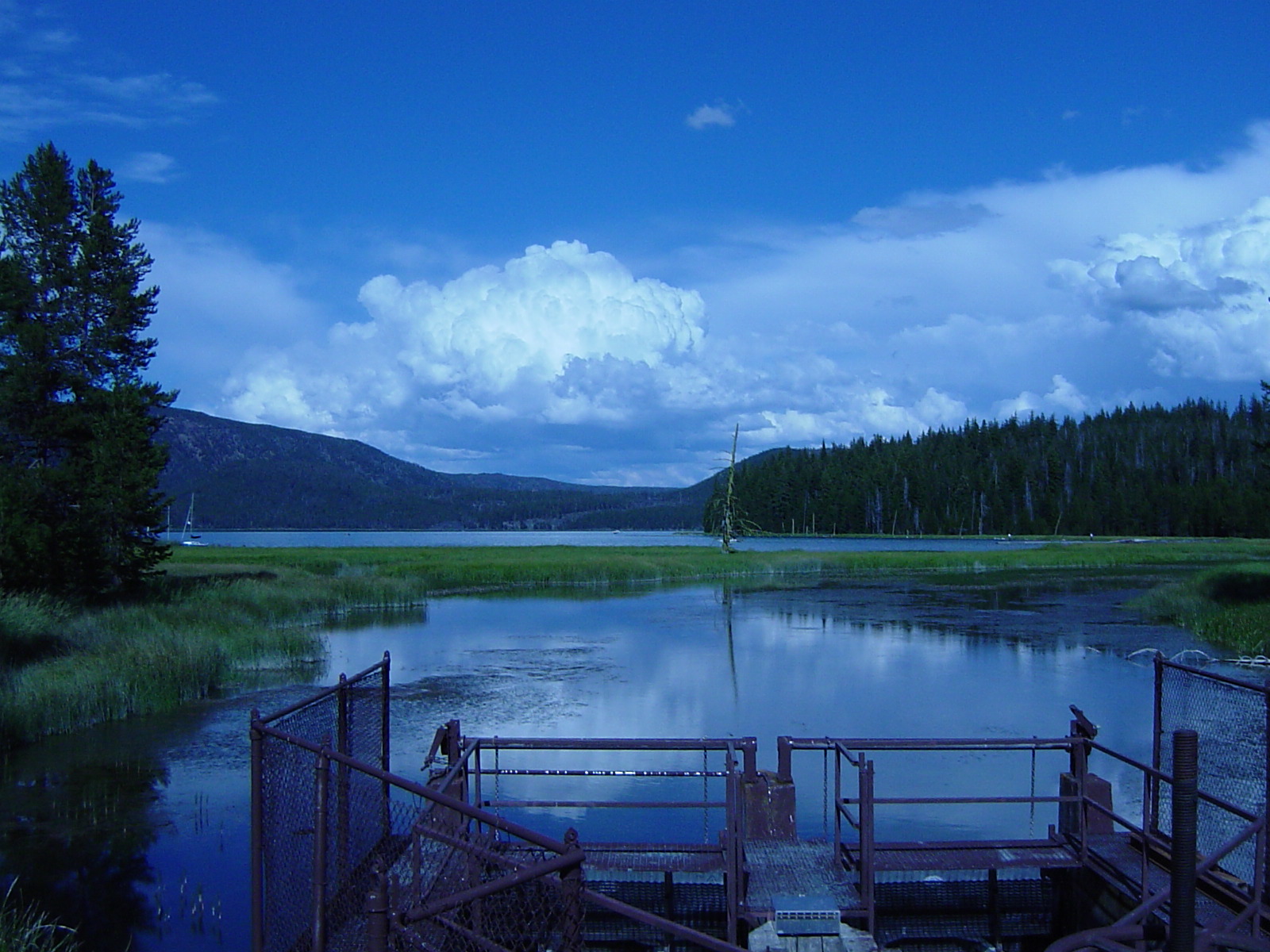
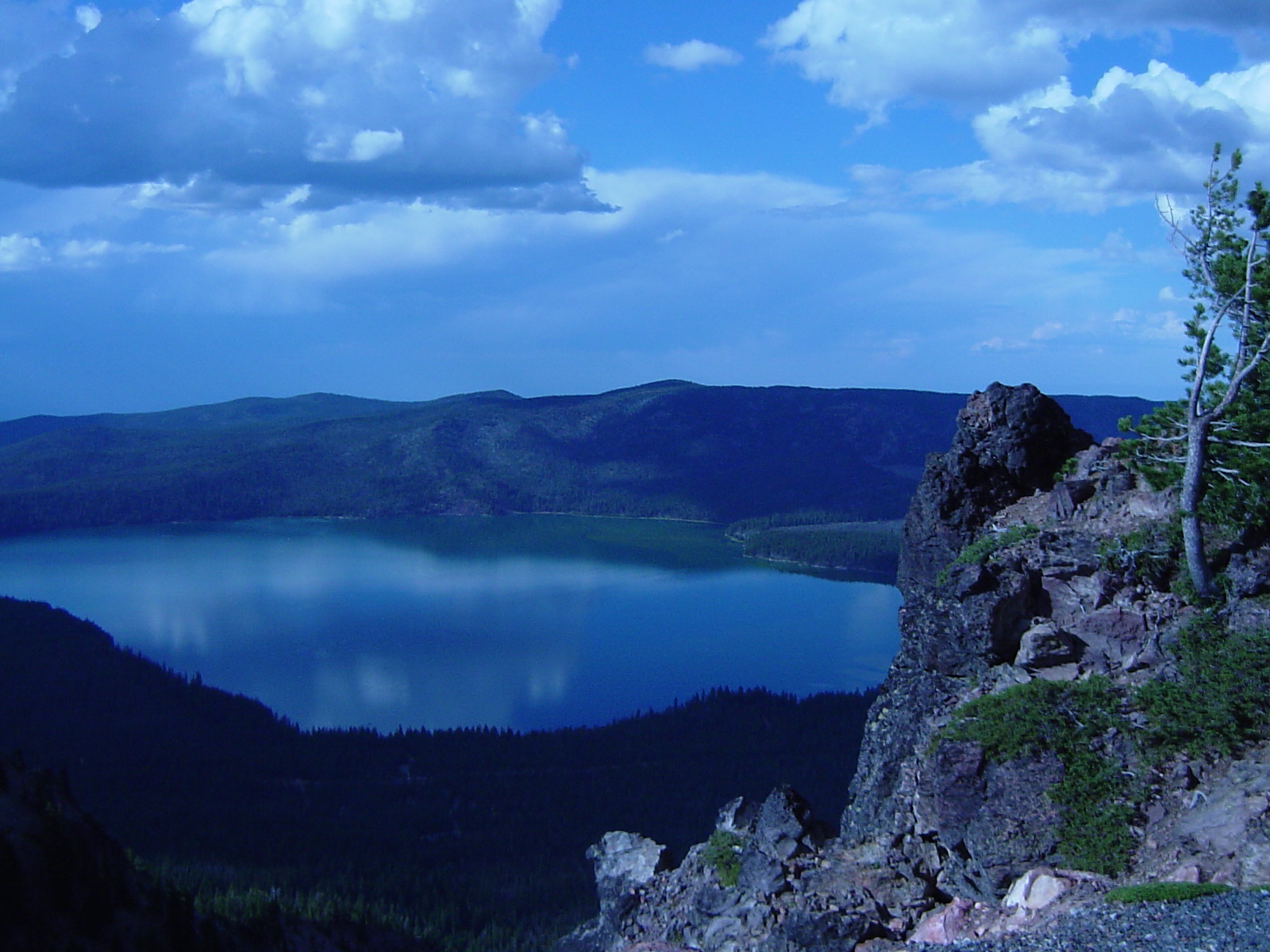
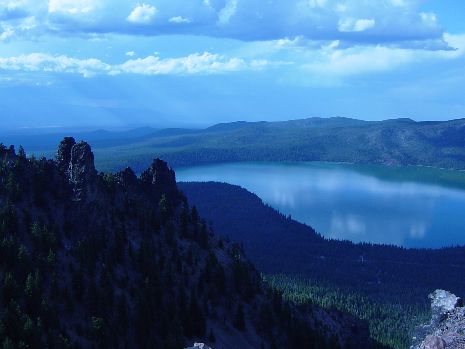
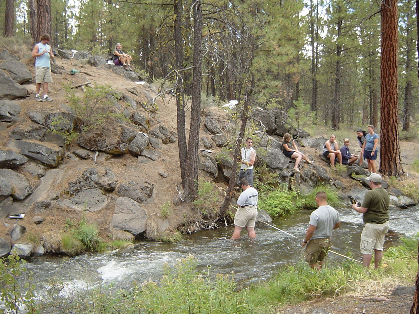
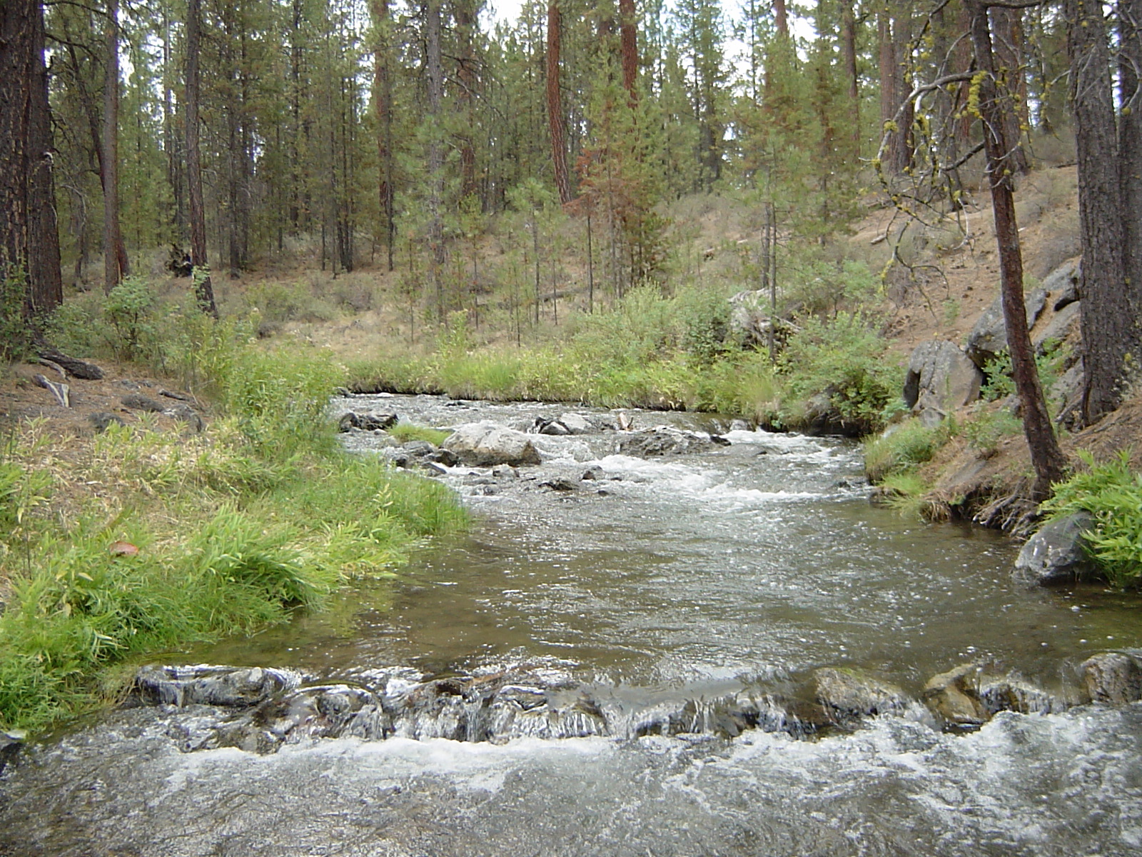
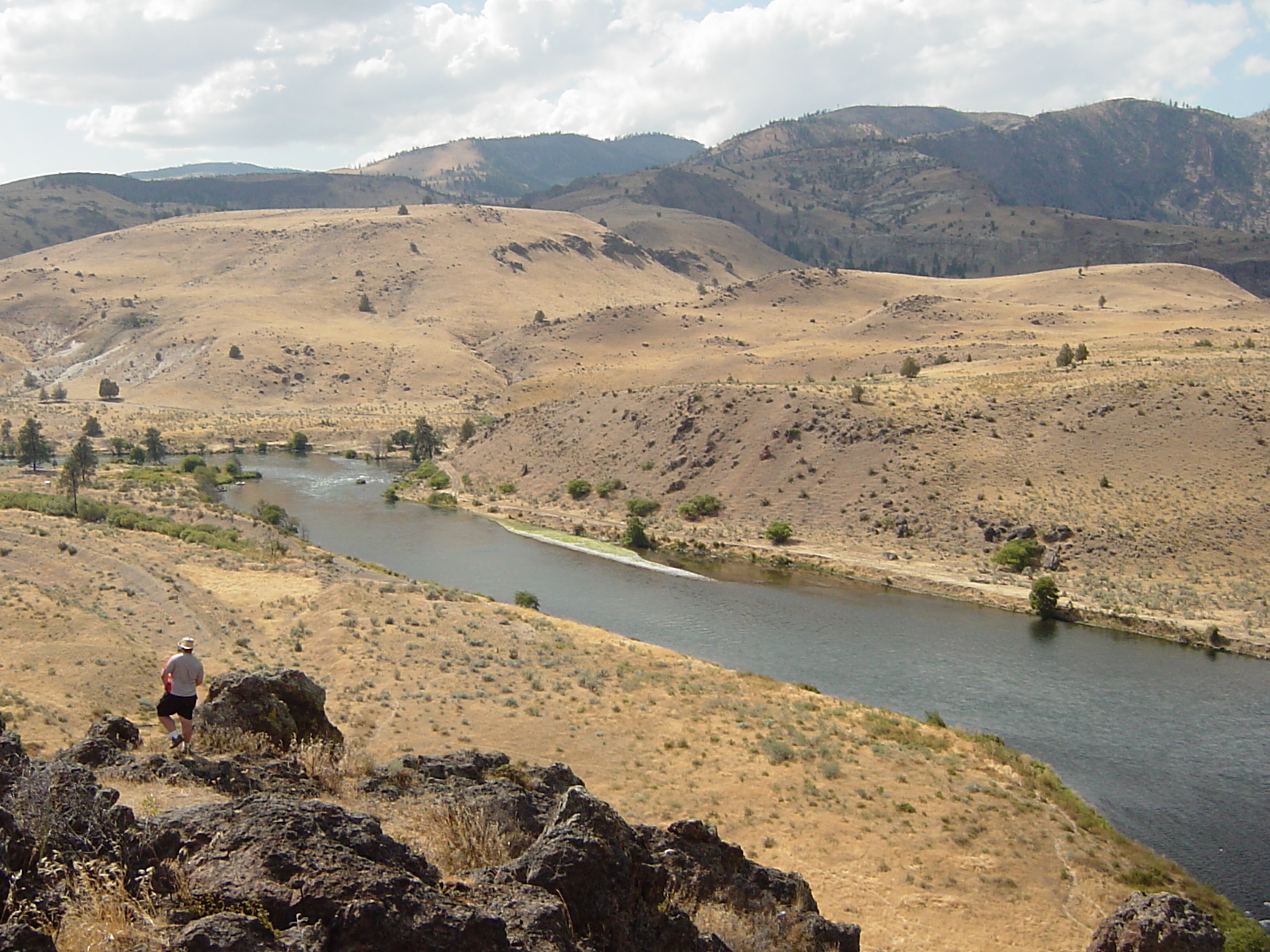
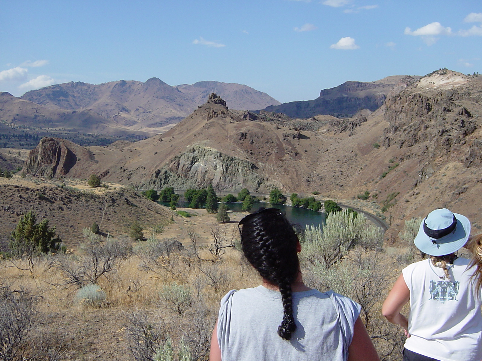
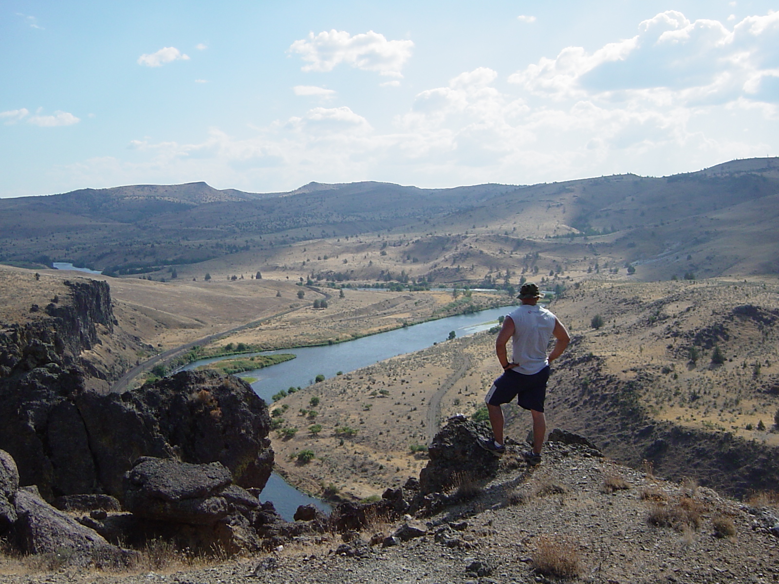
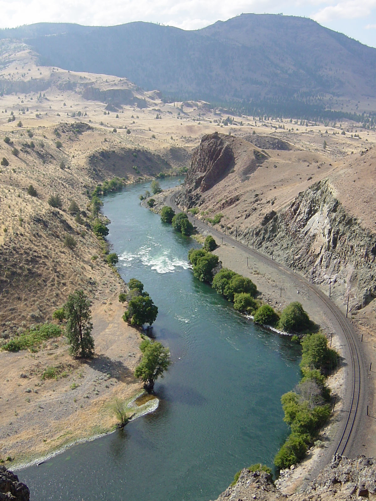
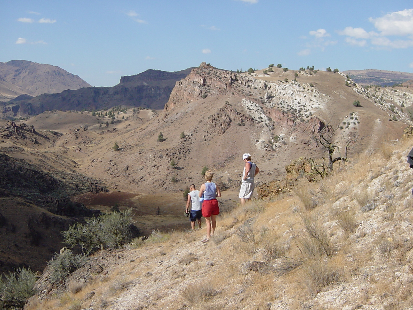
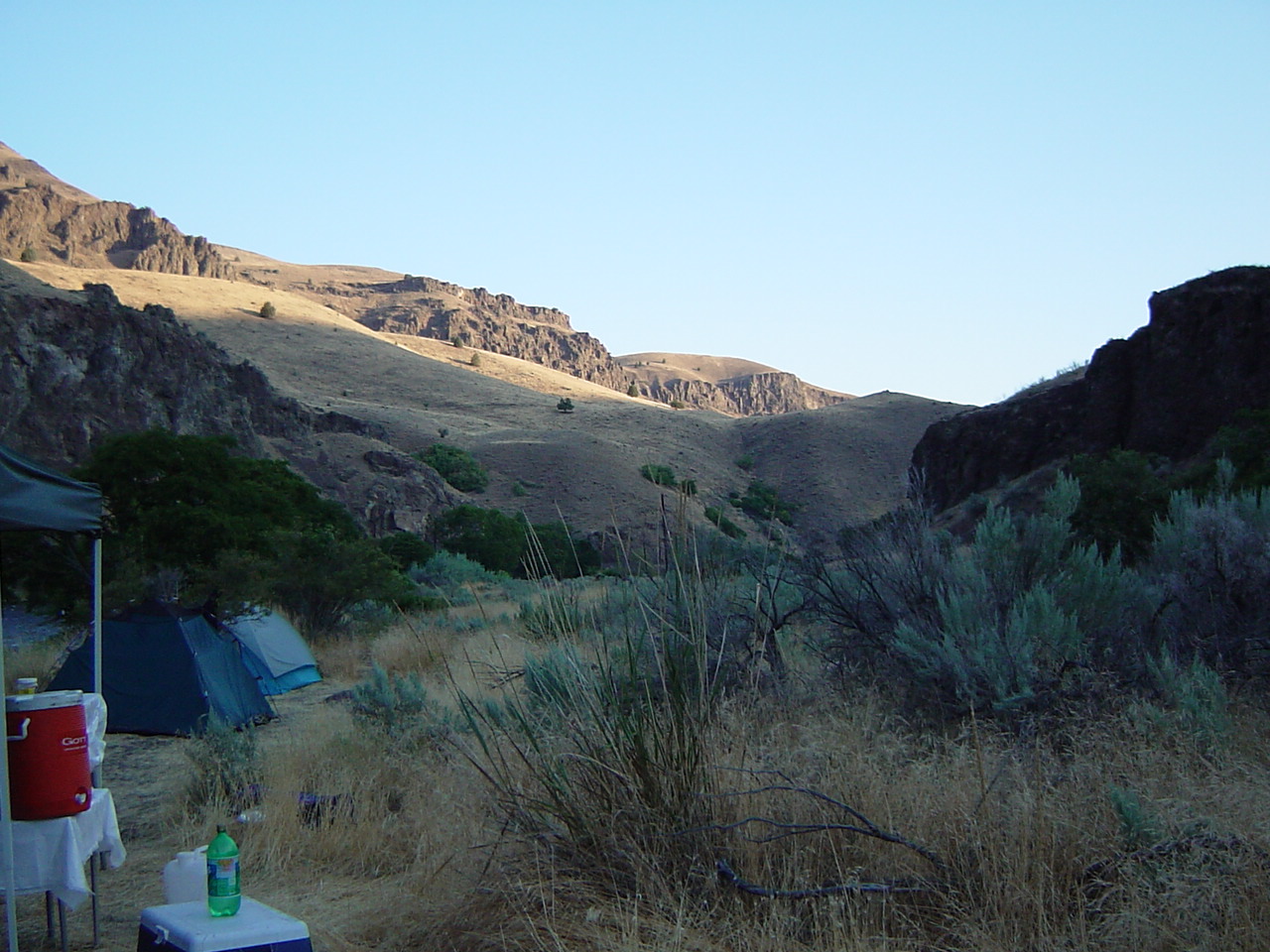
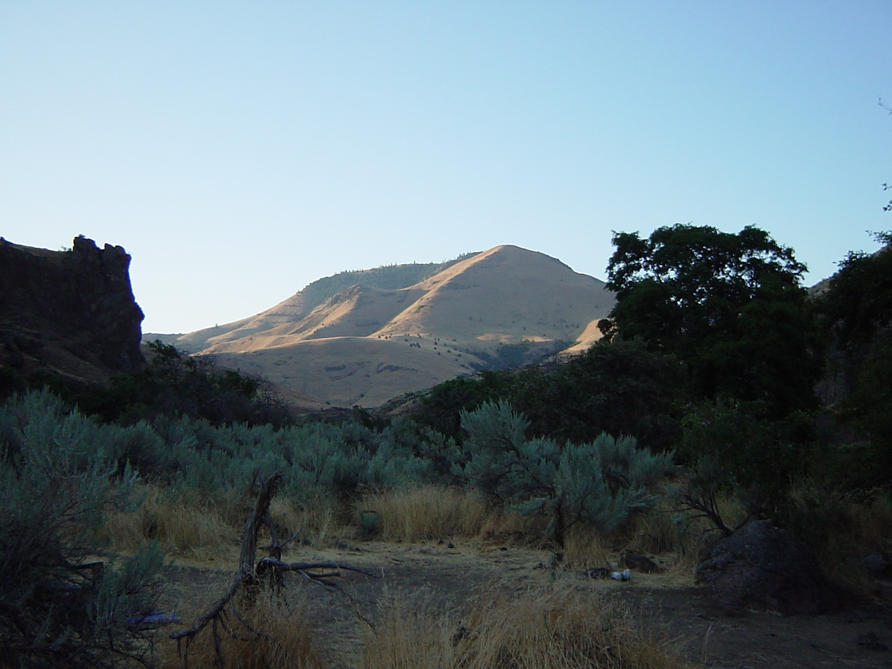
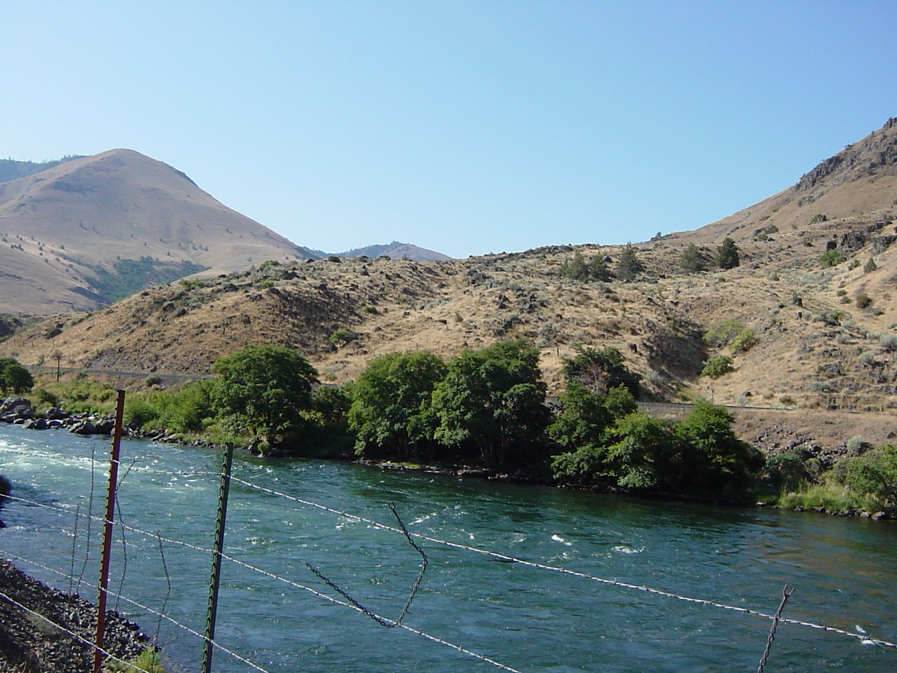
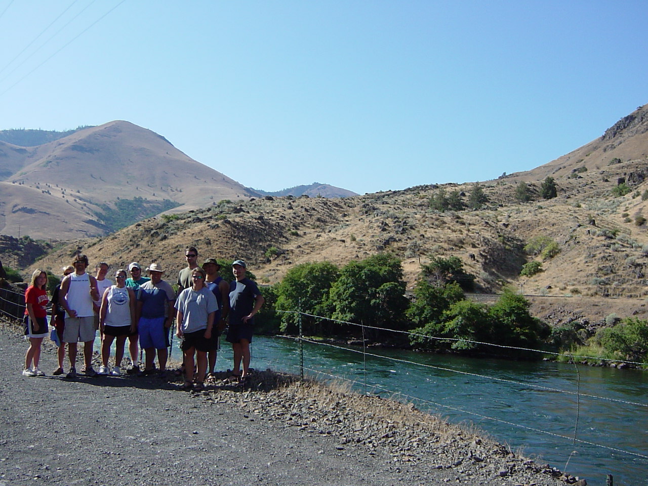
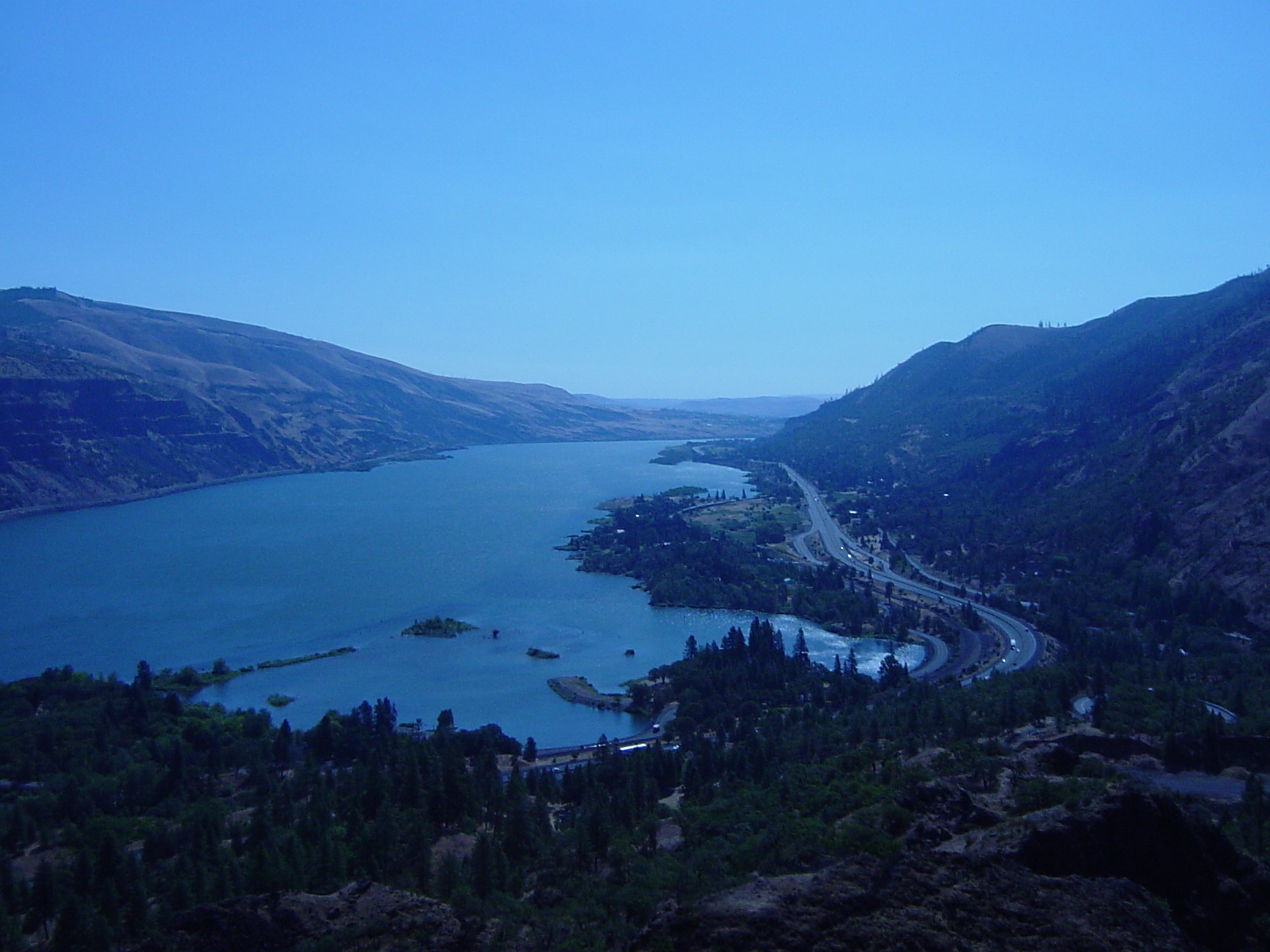
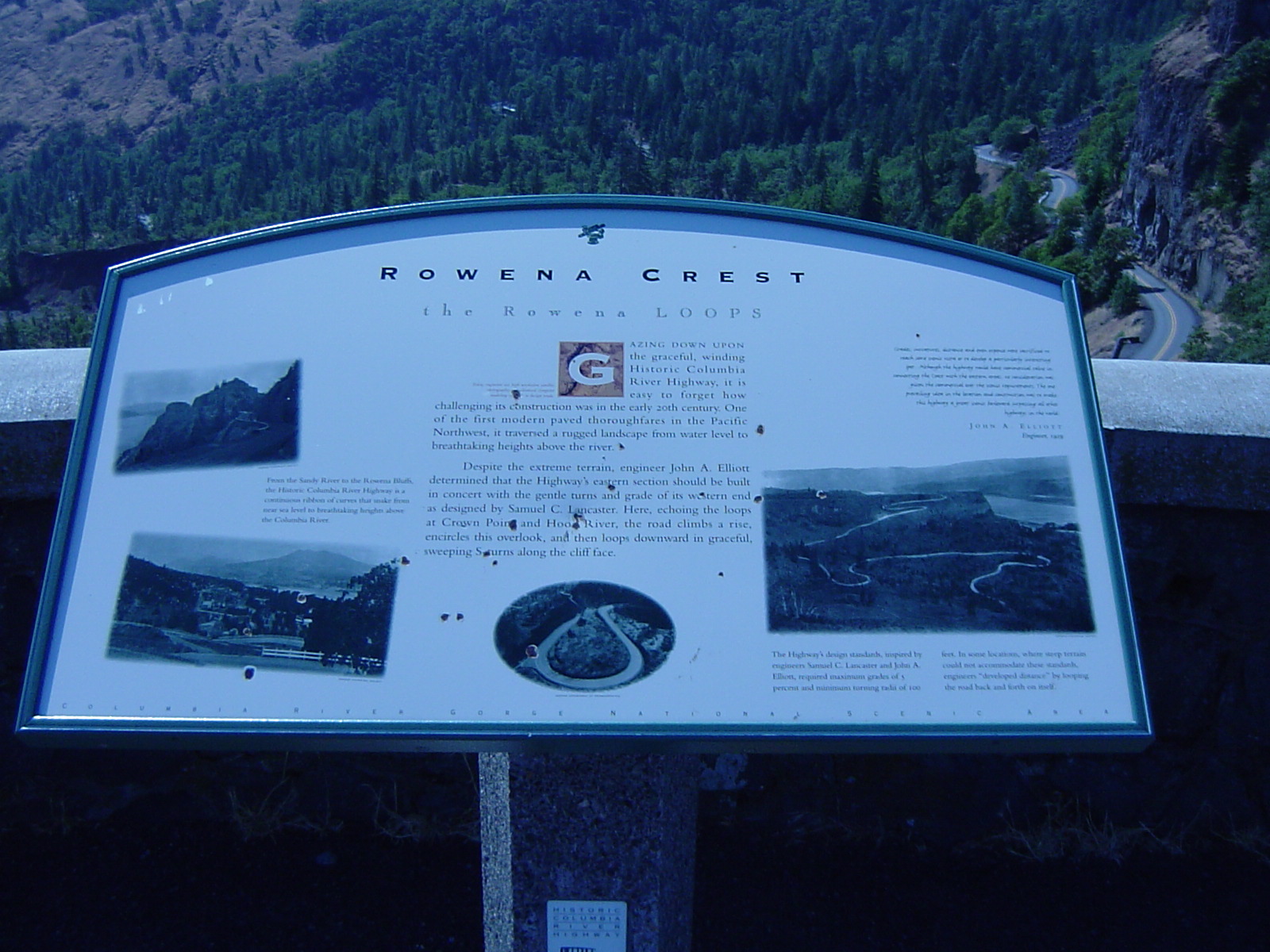
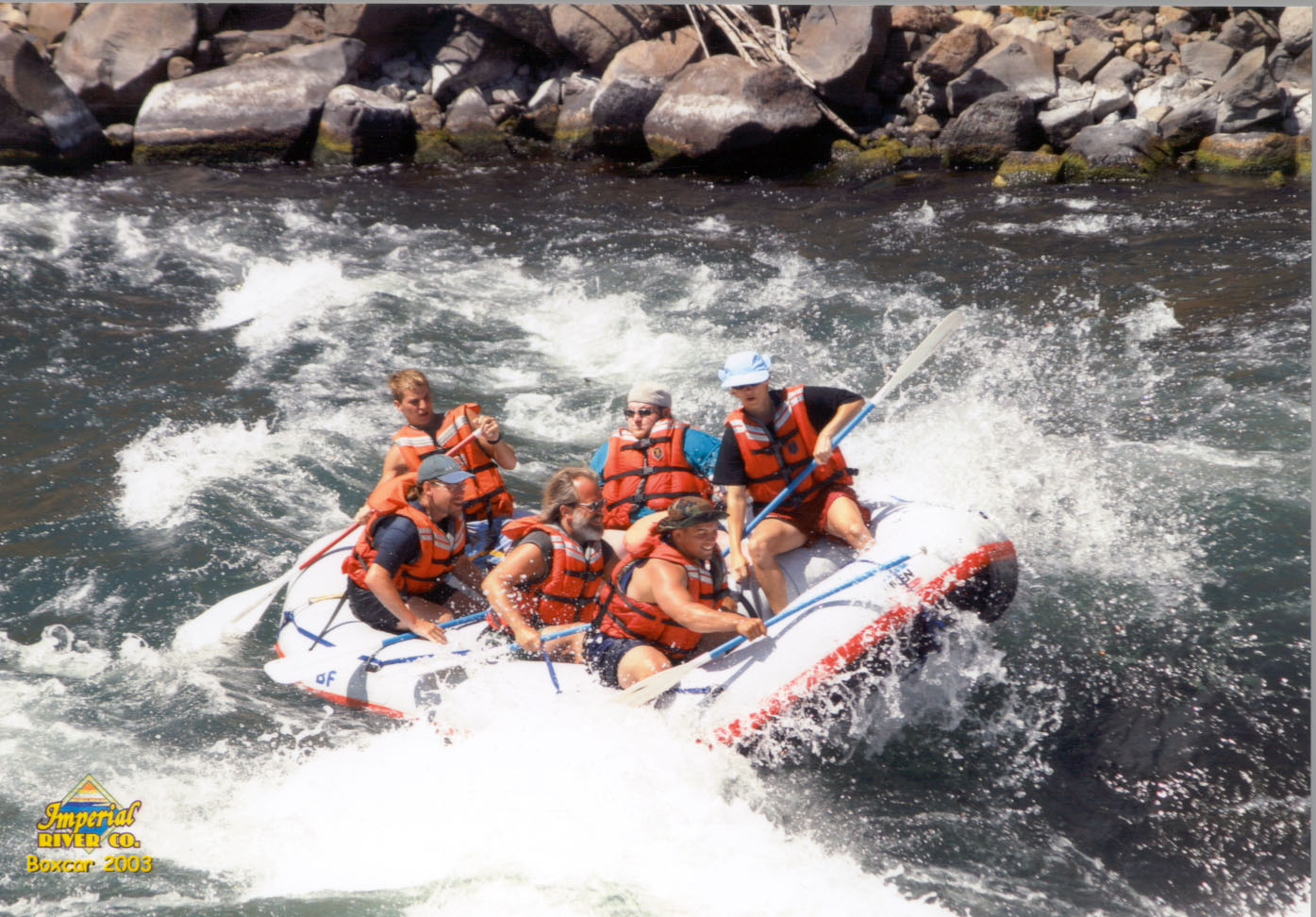
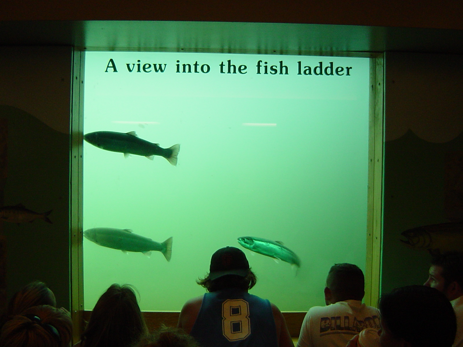
    "The River" by Sally Kirkpatrick

    Introduction
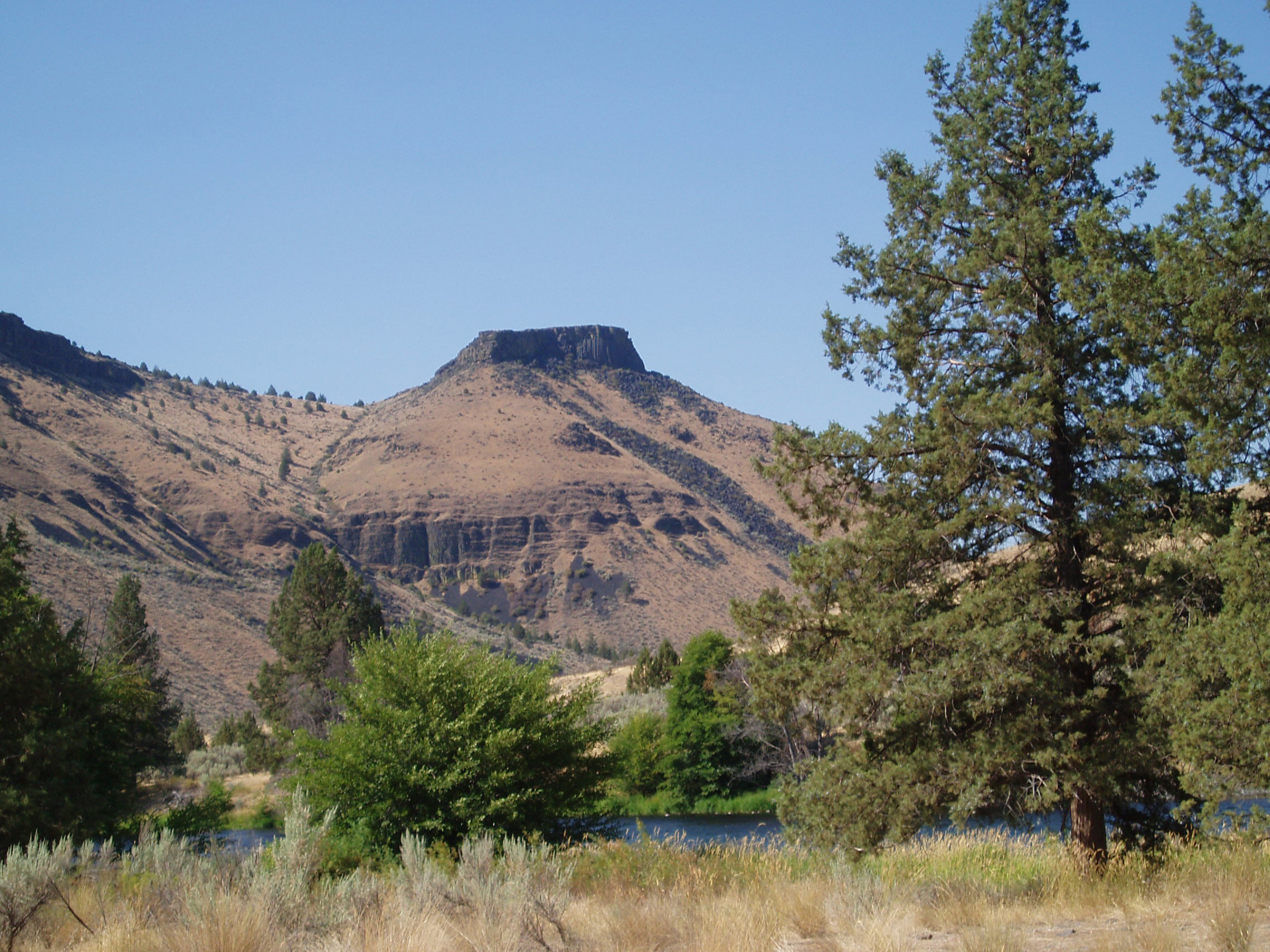
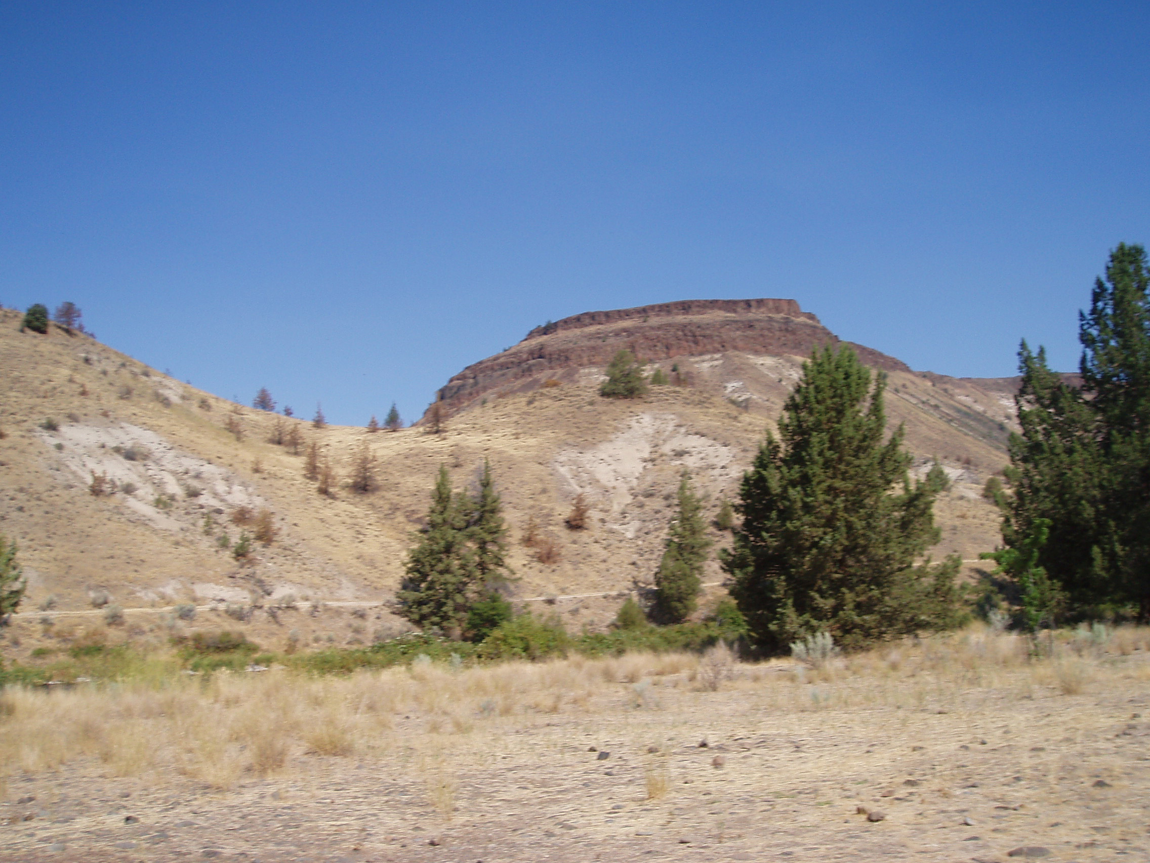
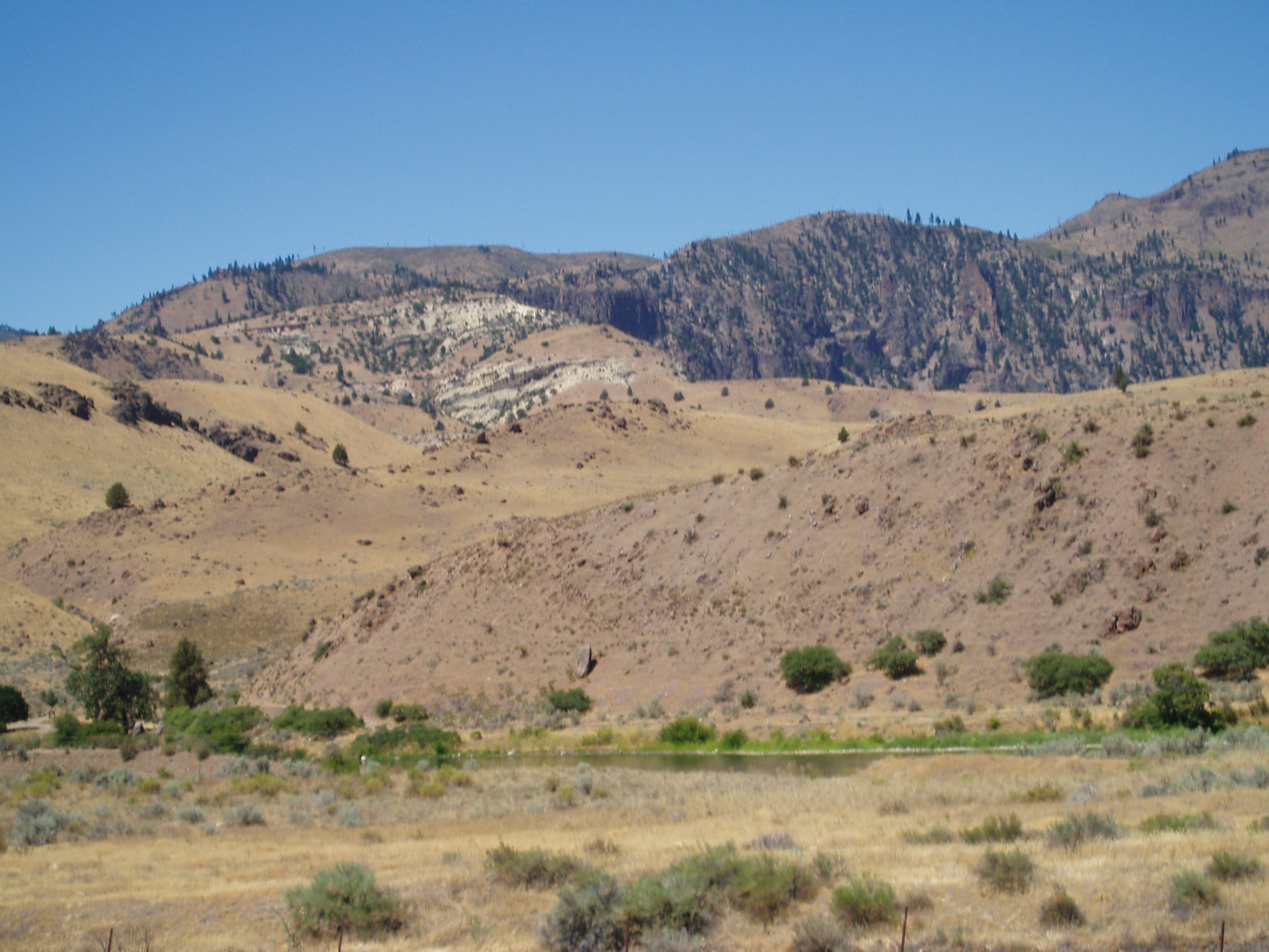
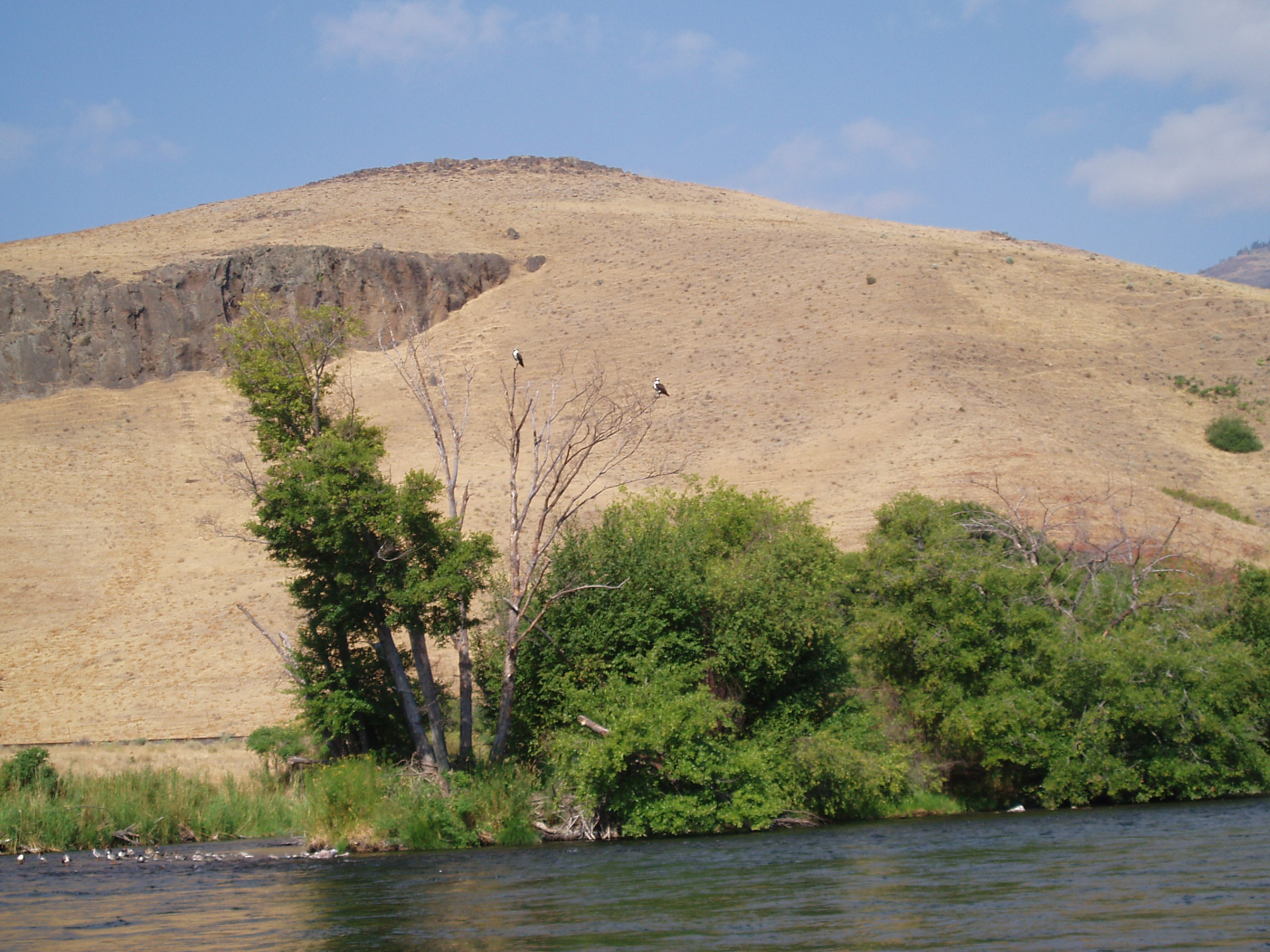
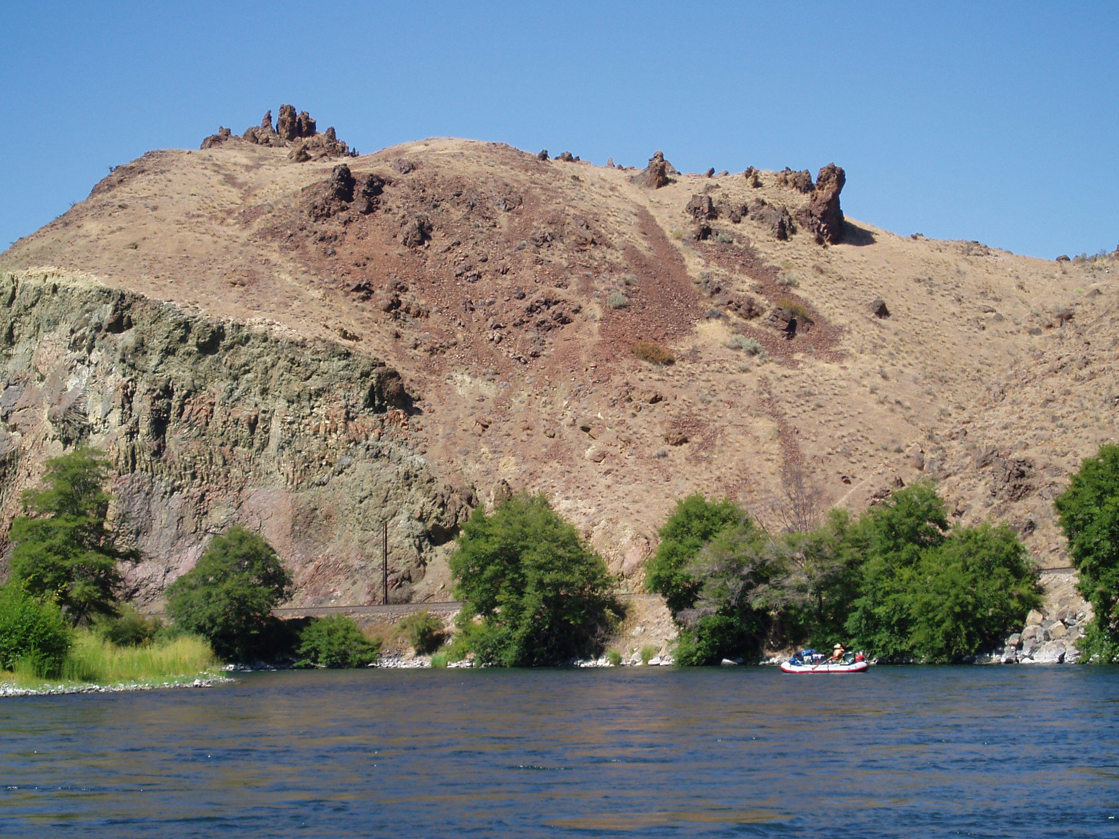
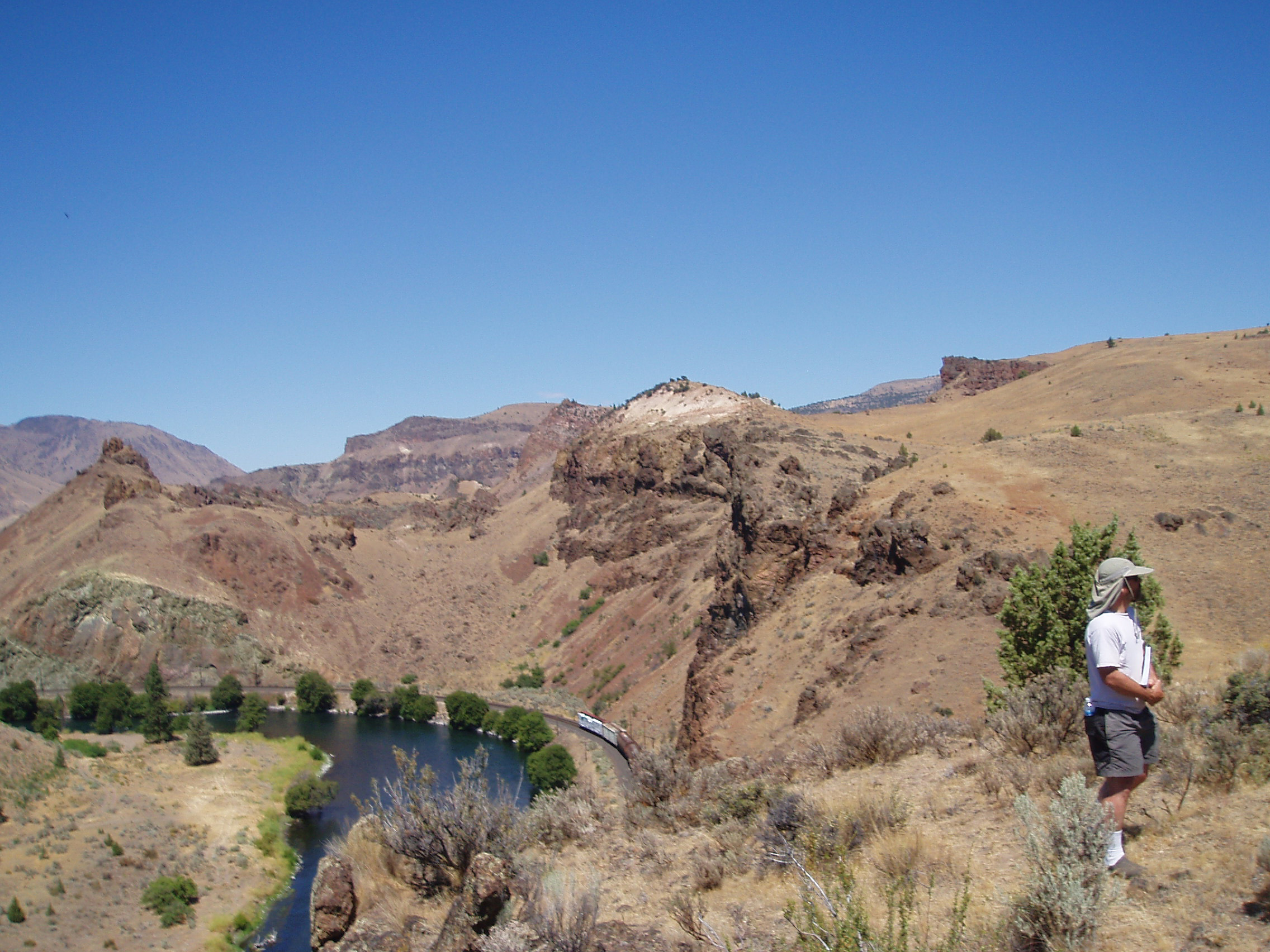
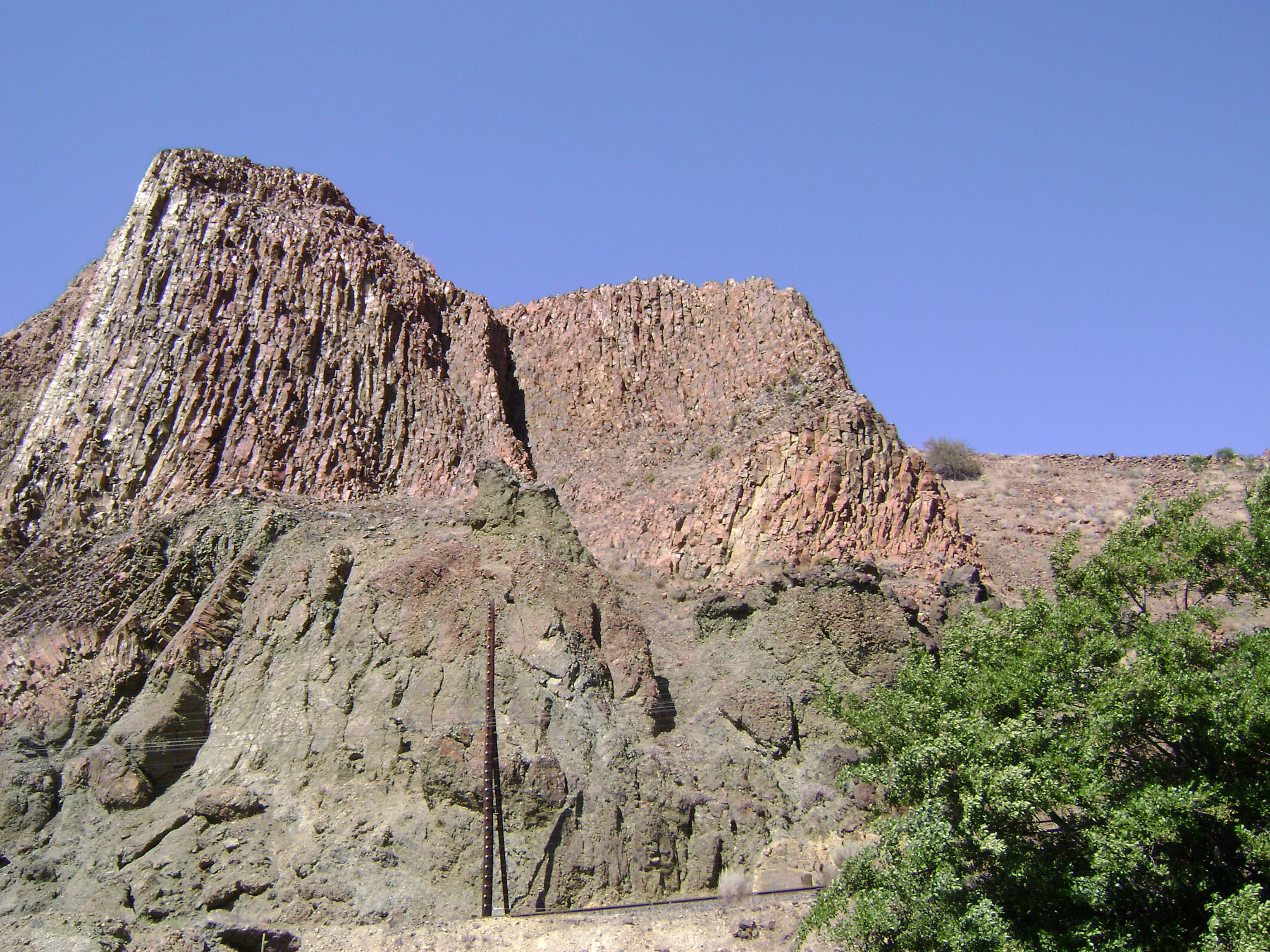
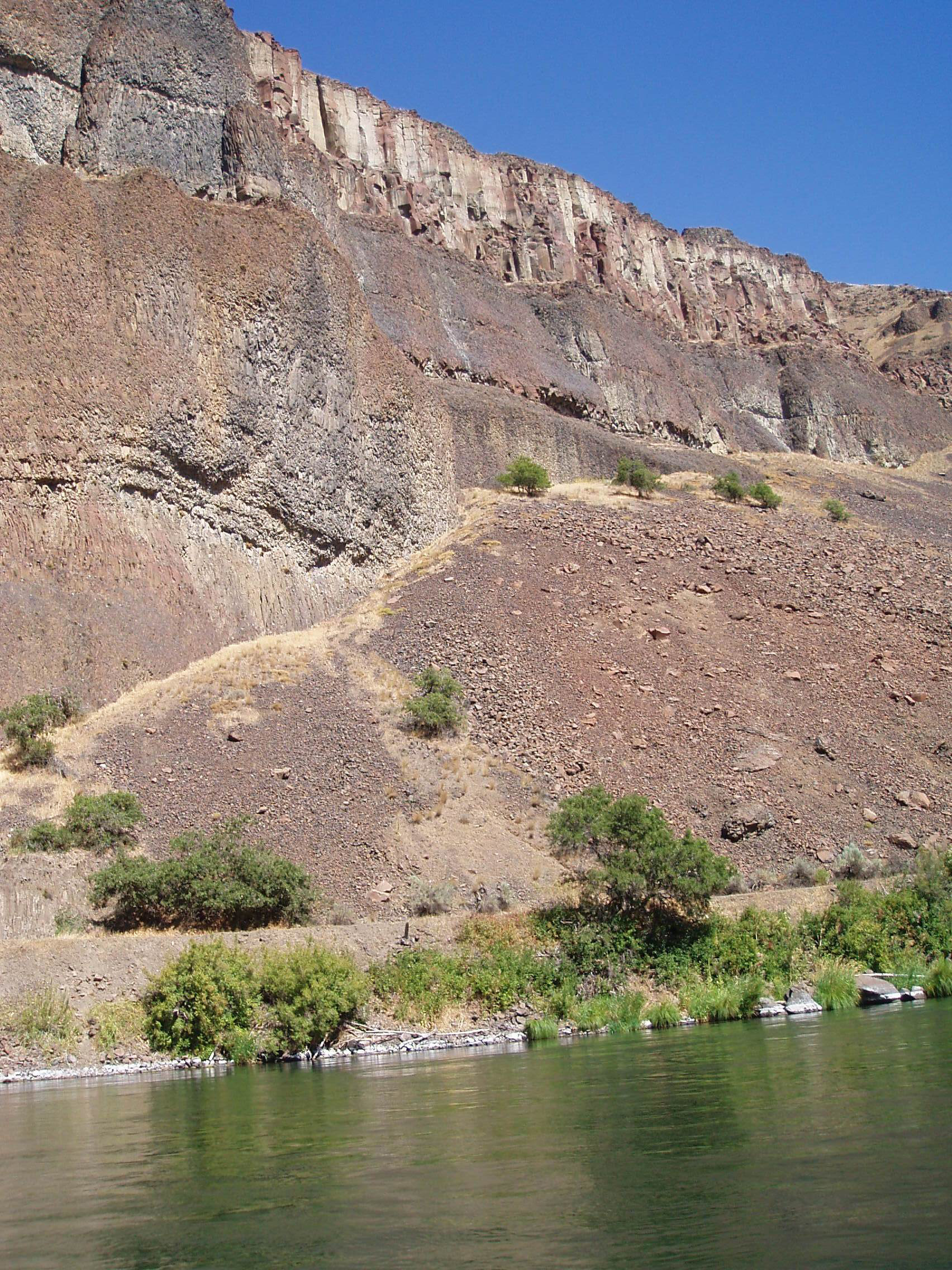
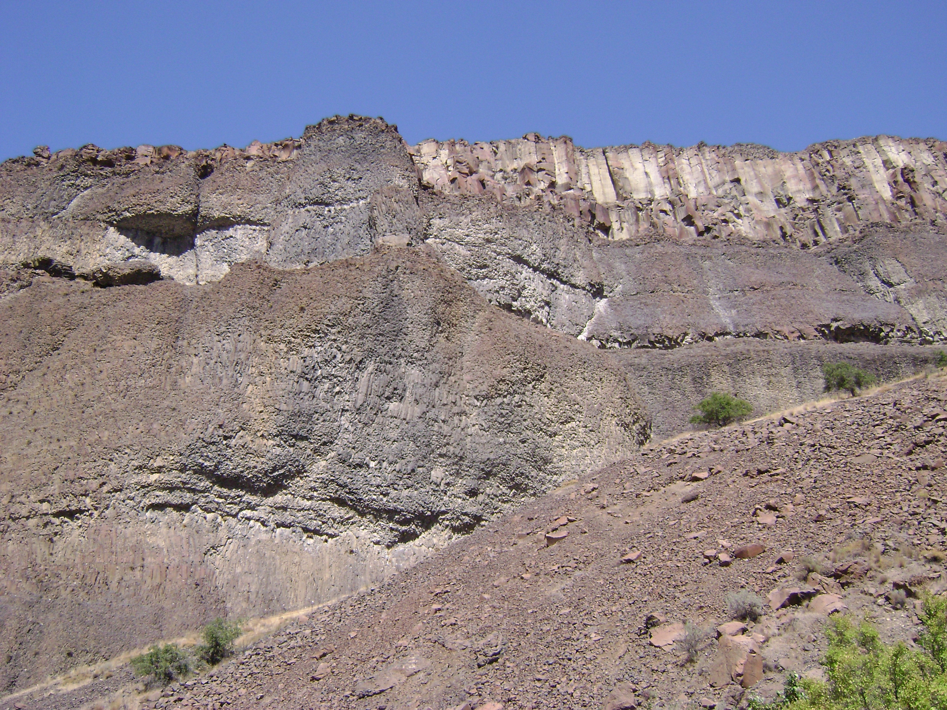
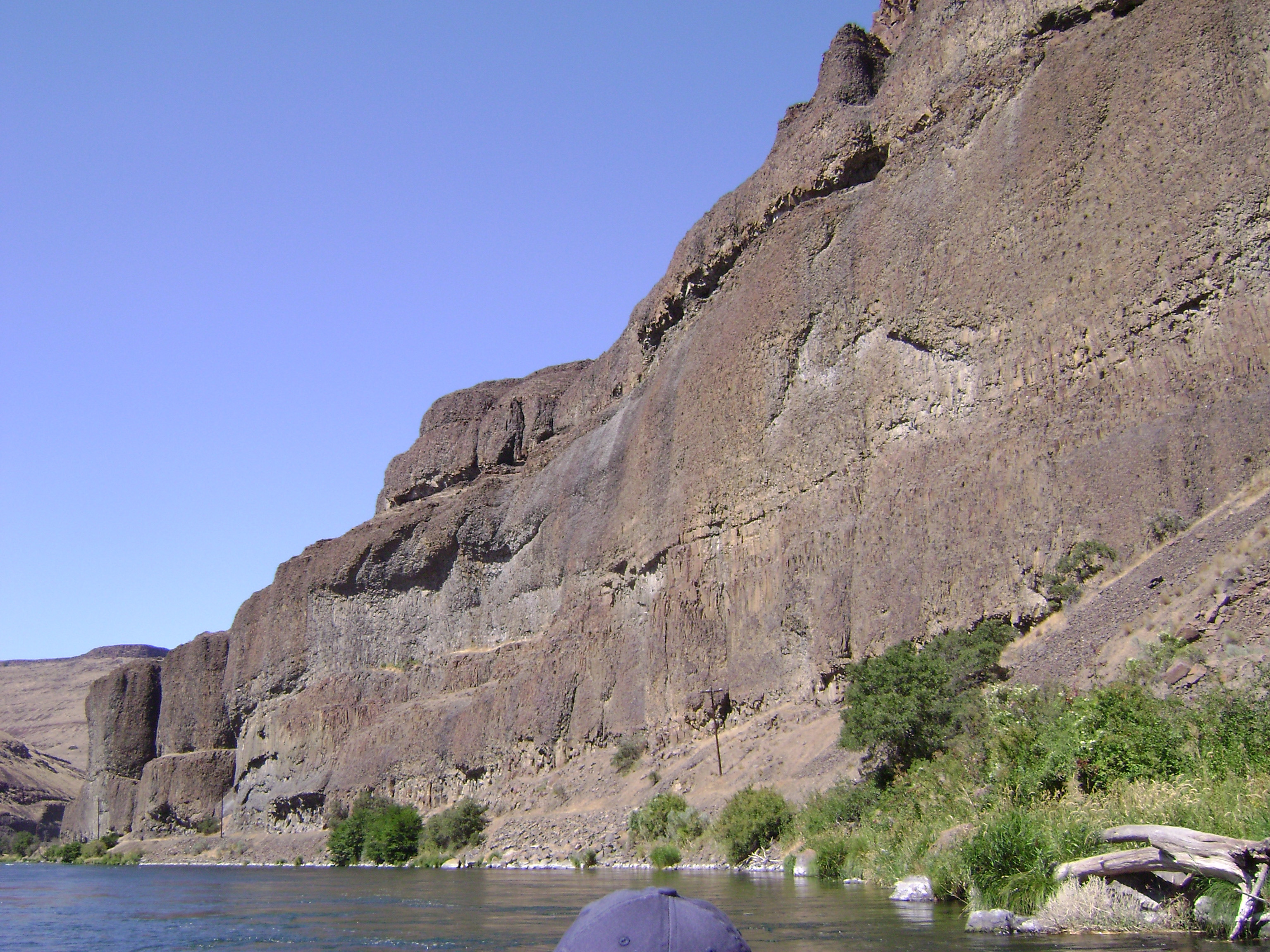
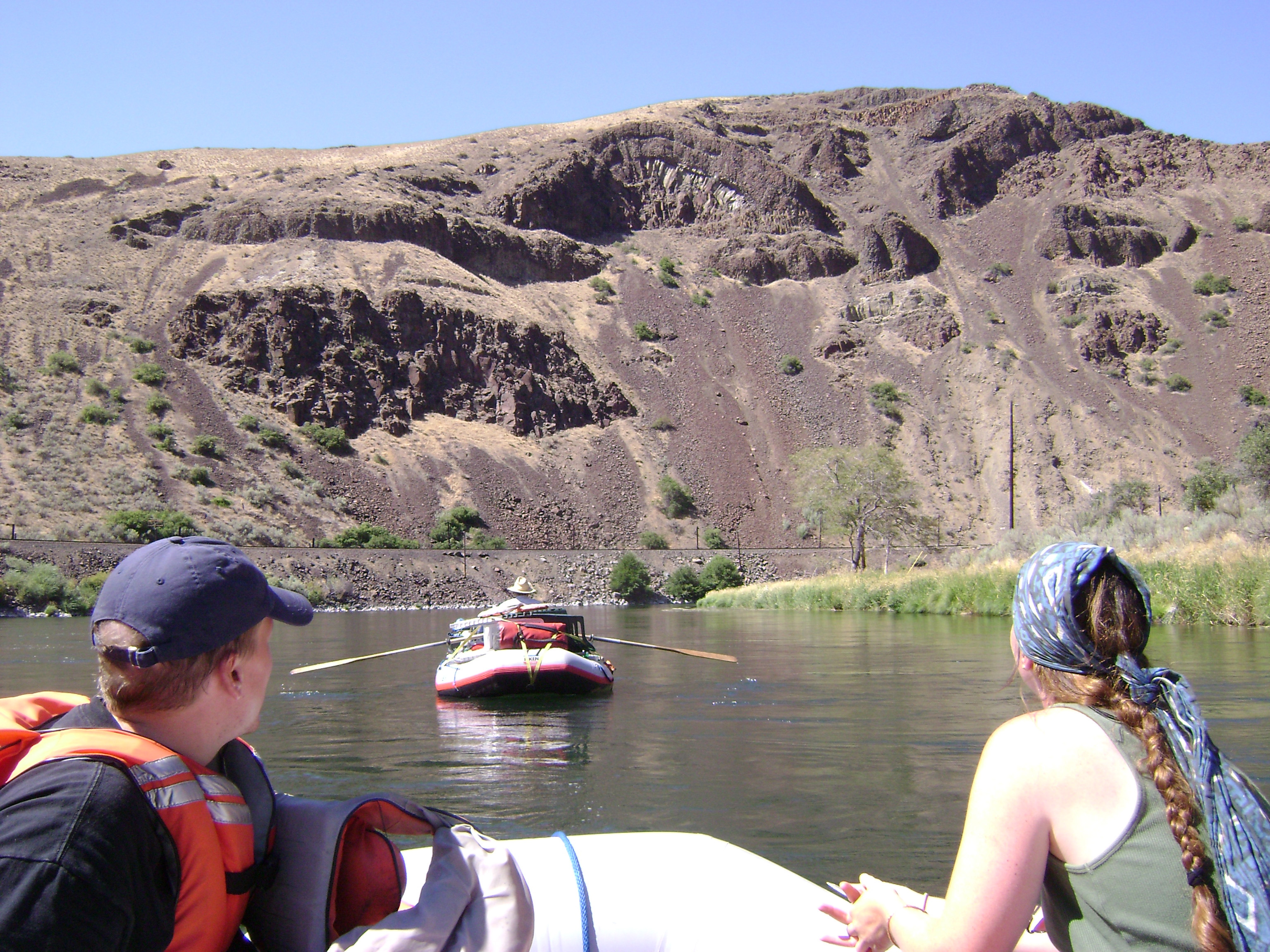
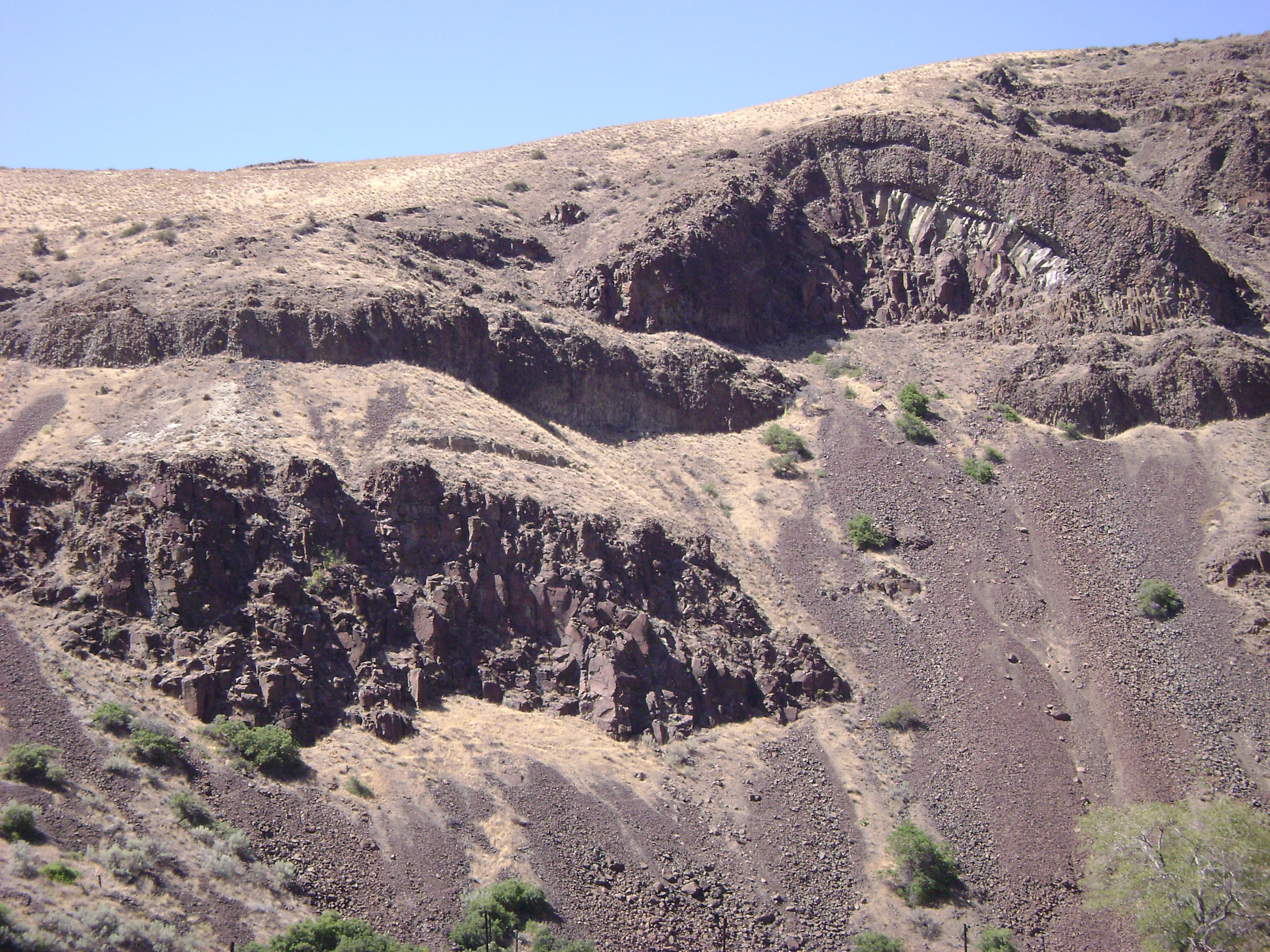
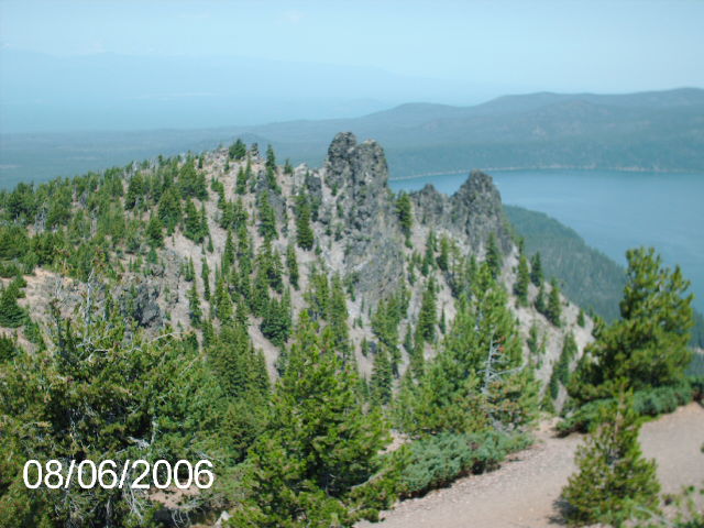
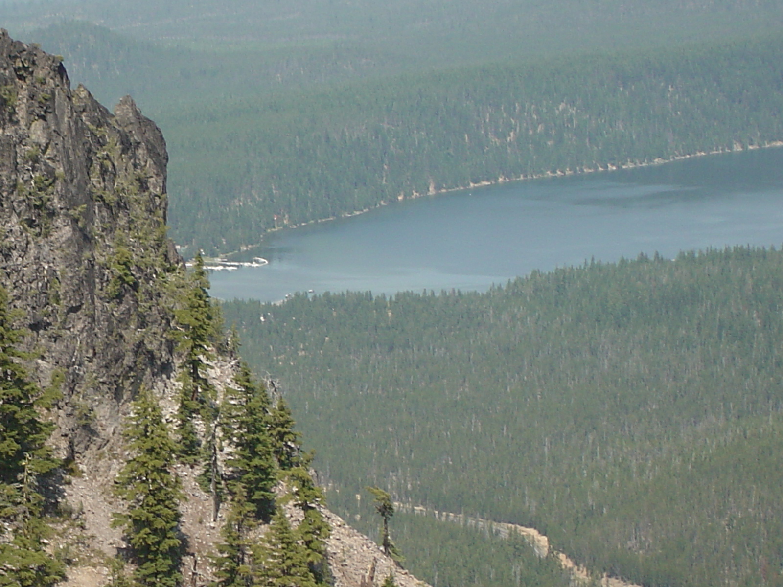
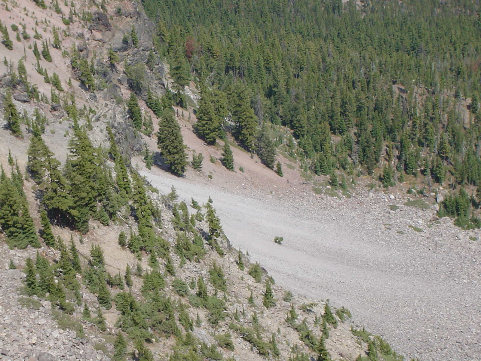
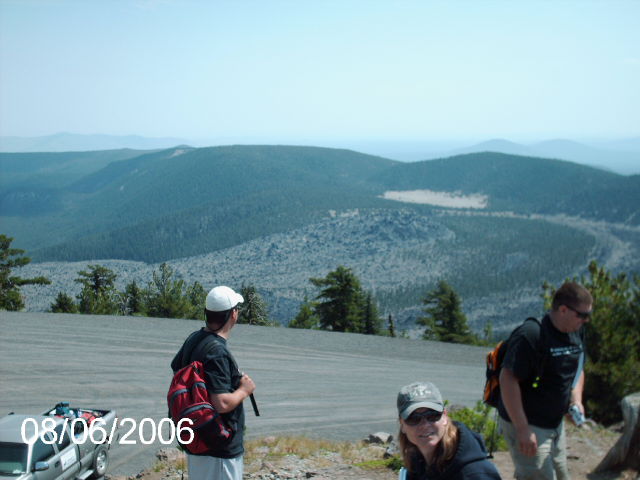
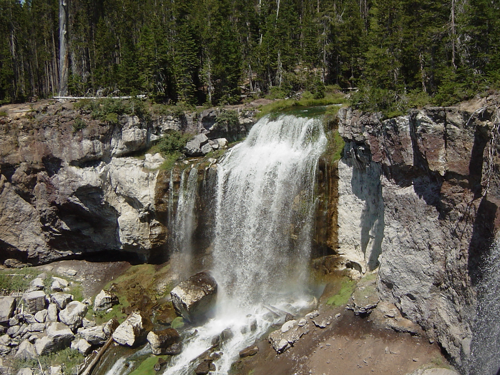
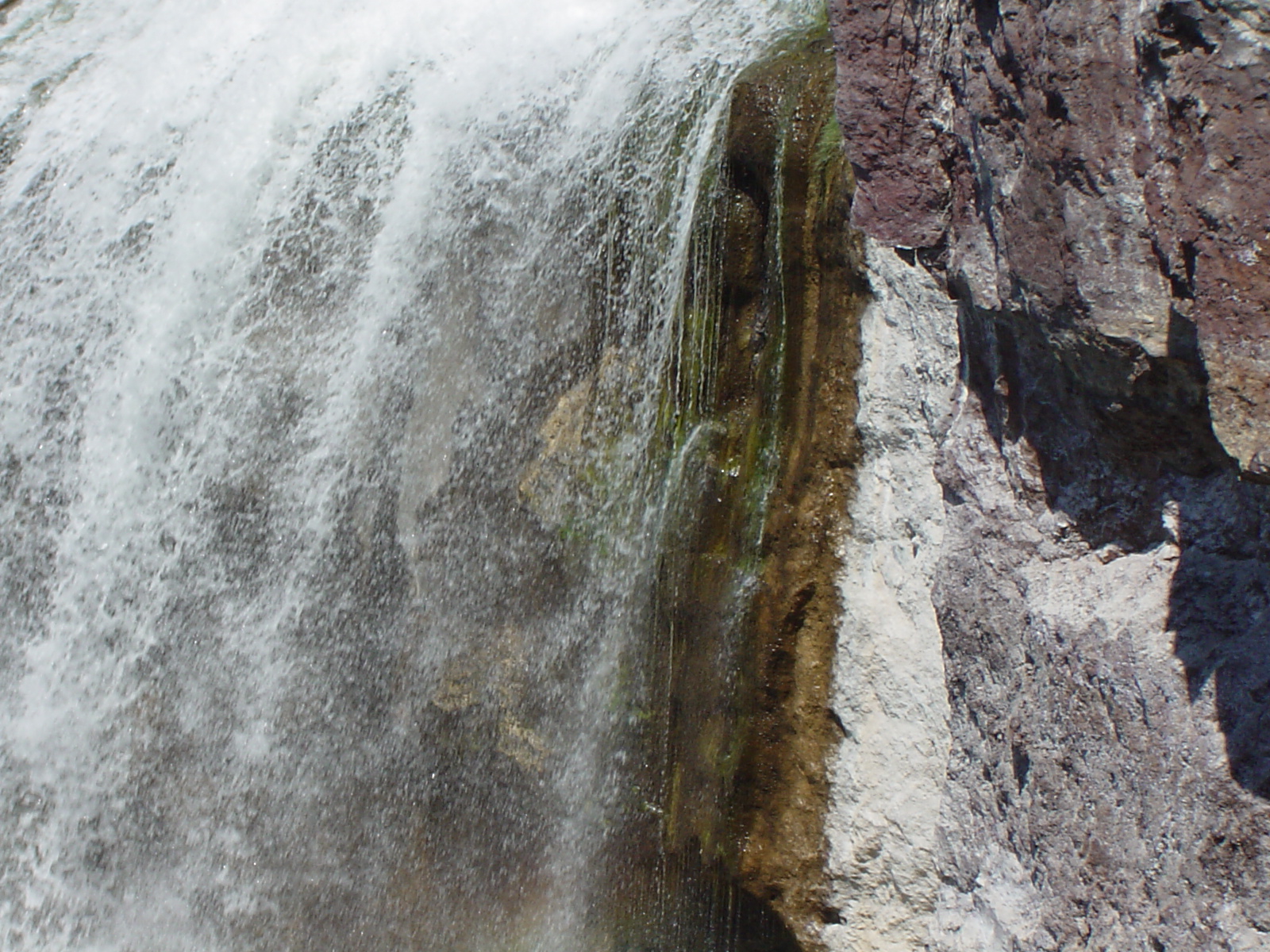
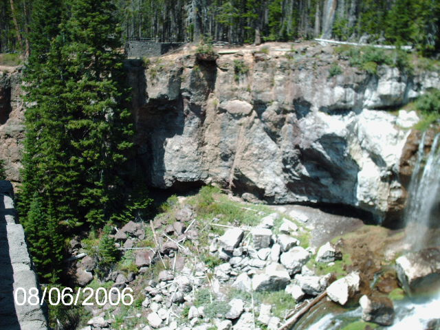
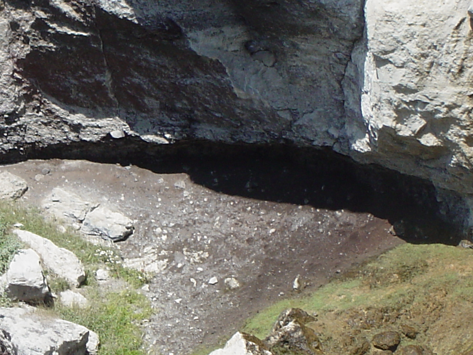
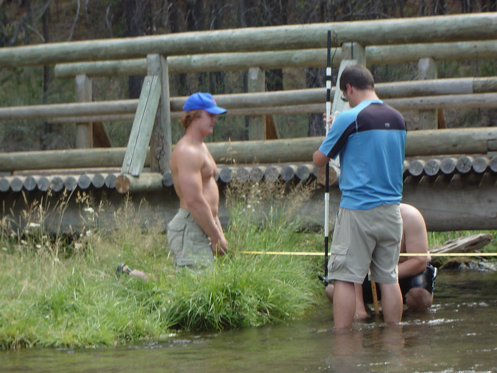
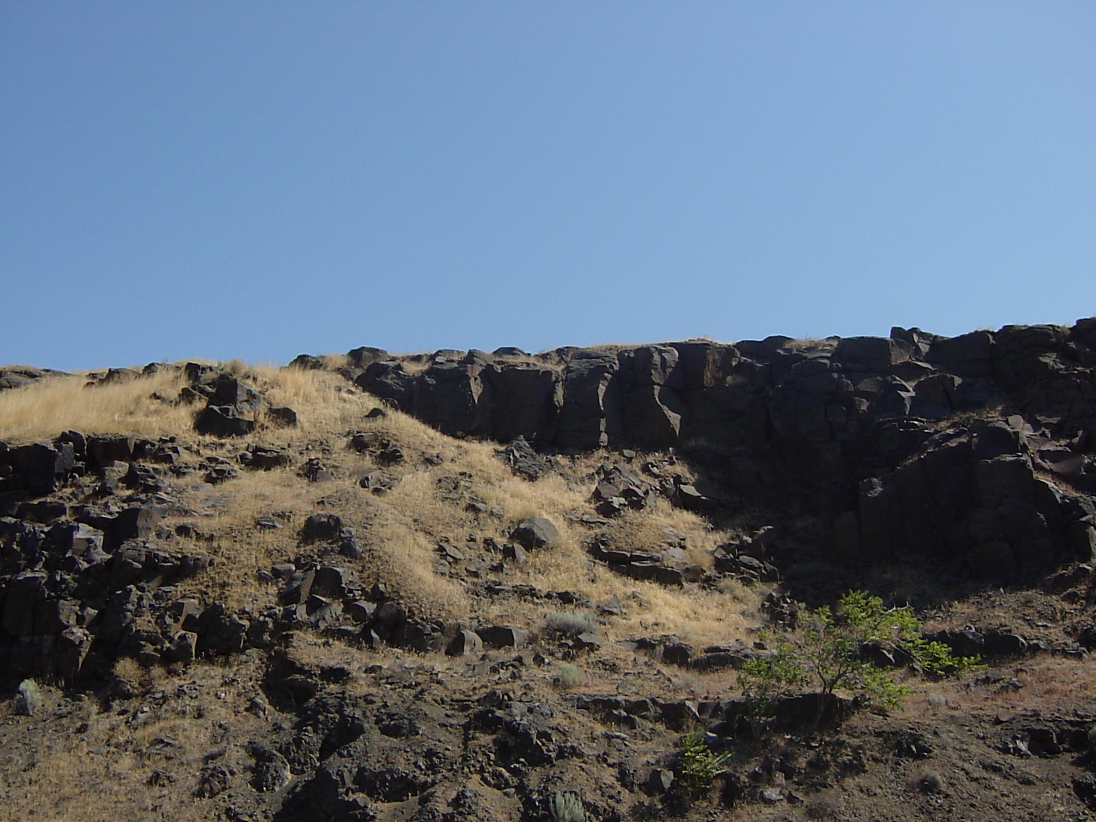
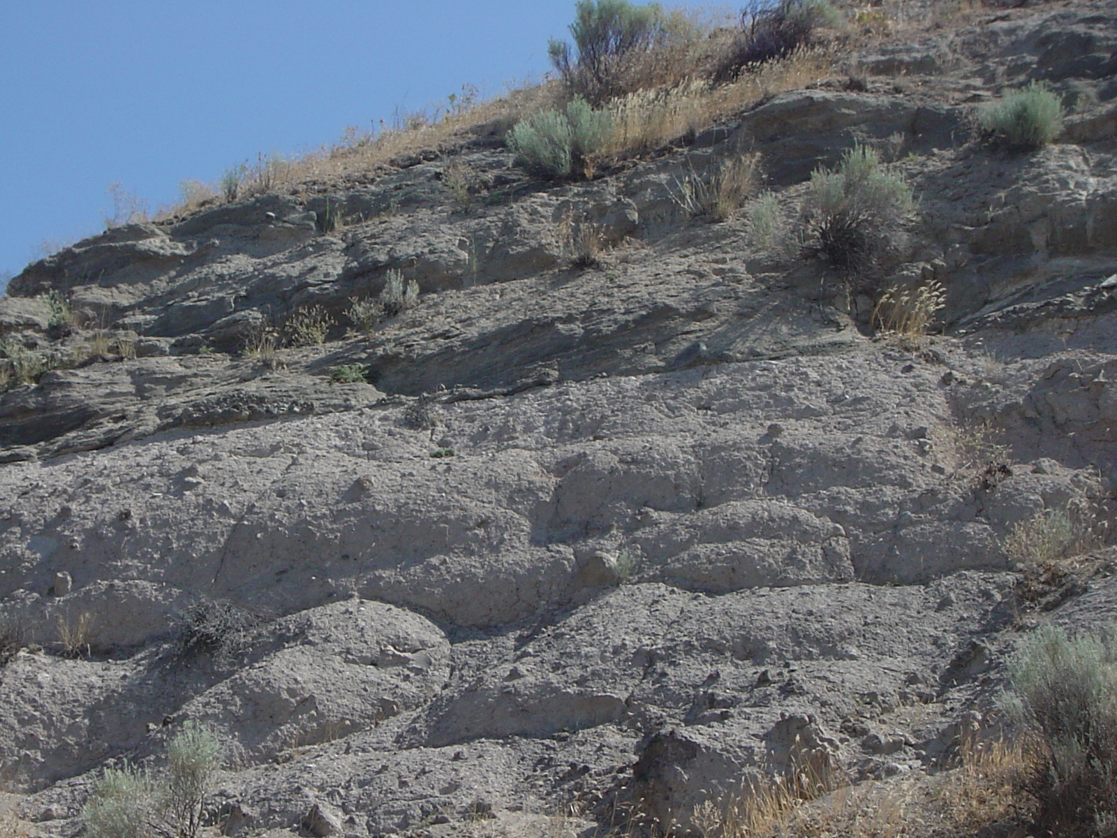
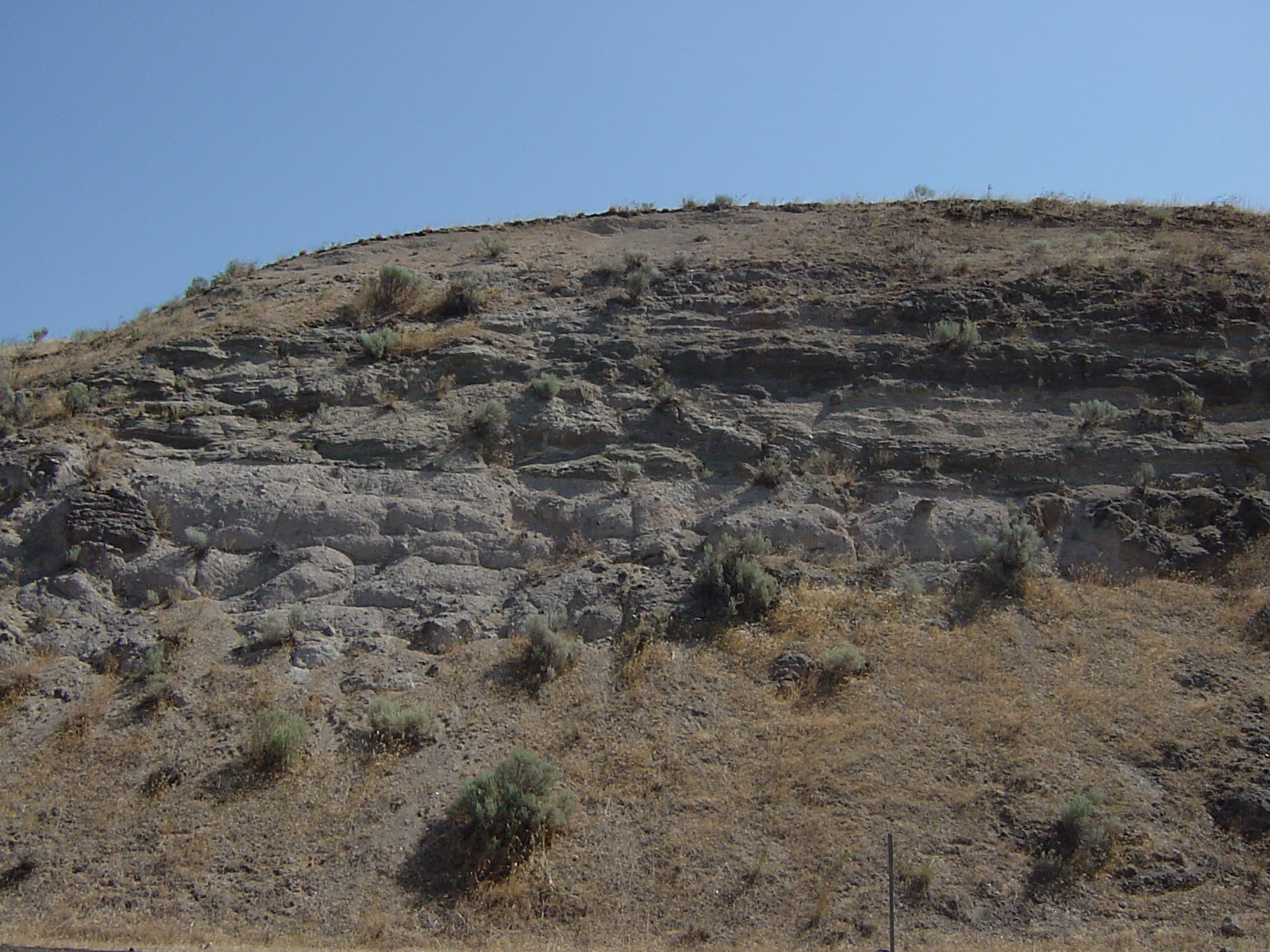
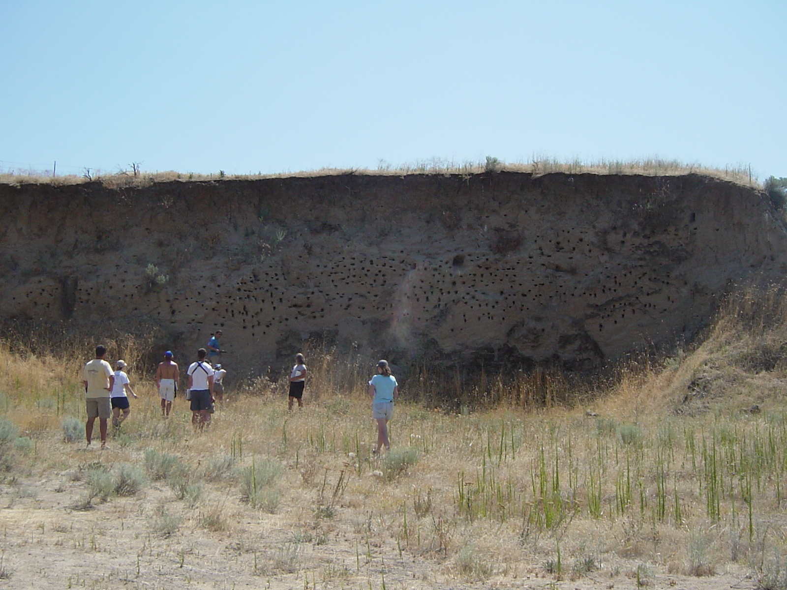
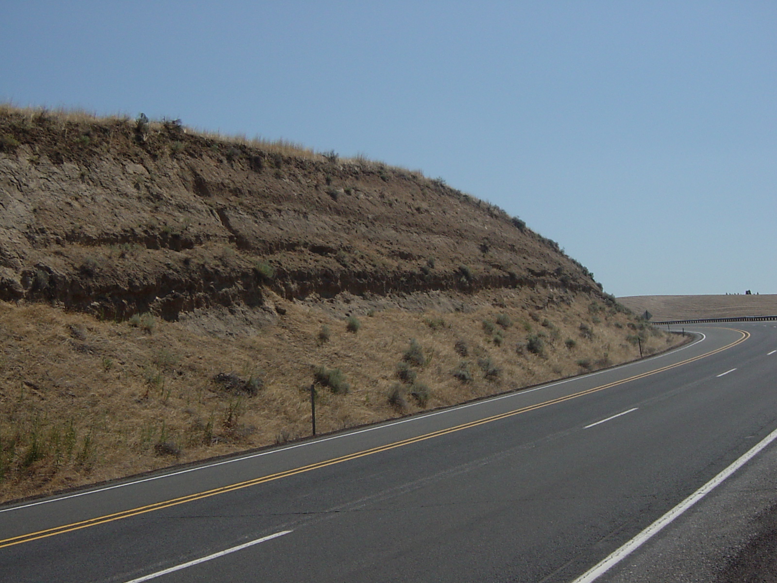
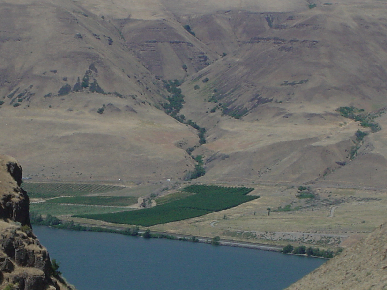
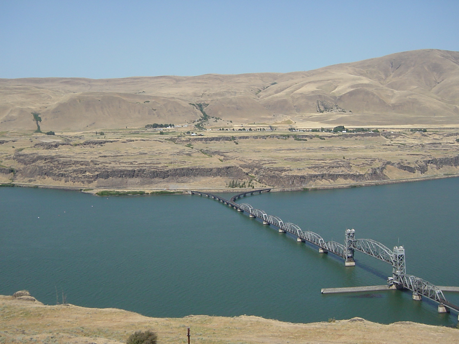
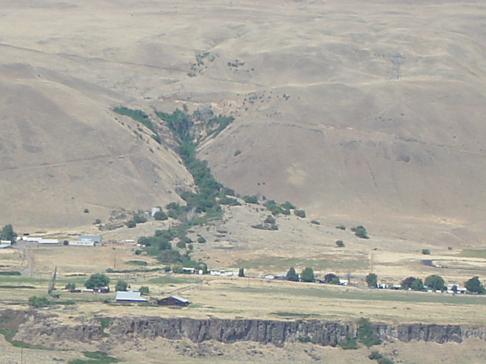
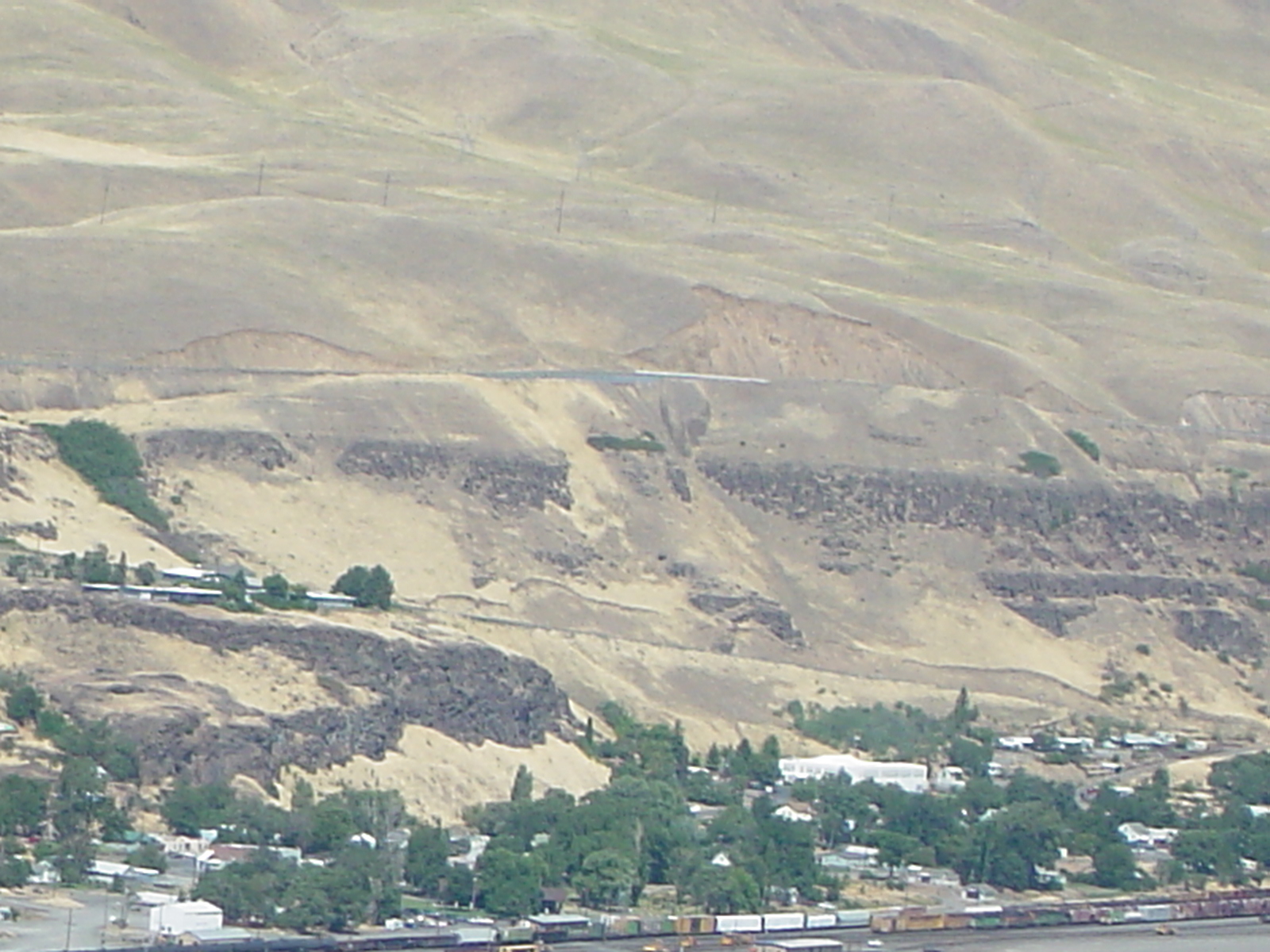
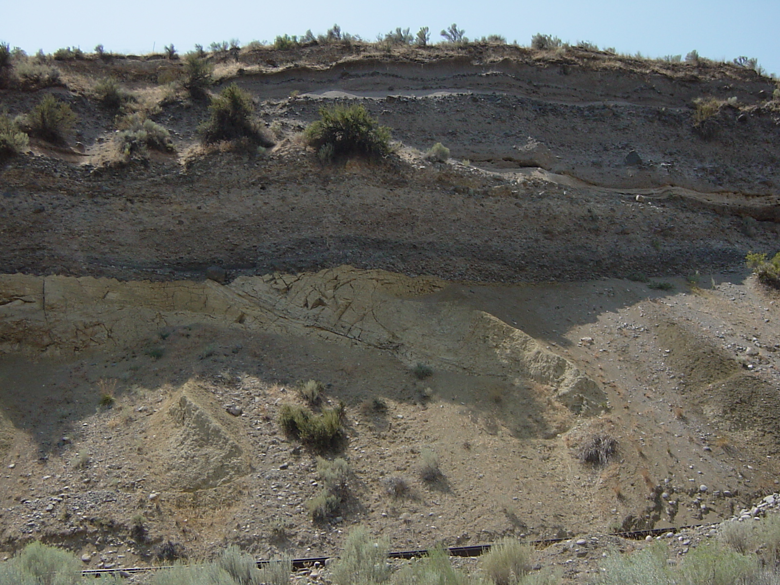
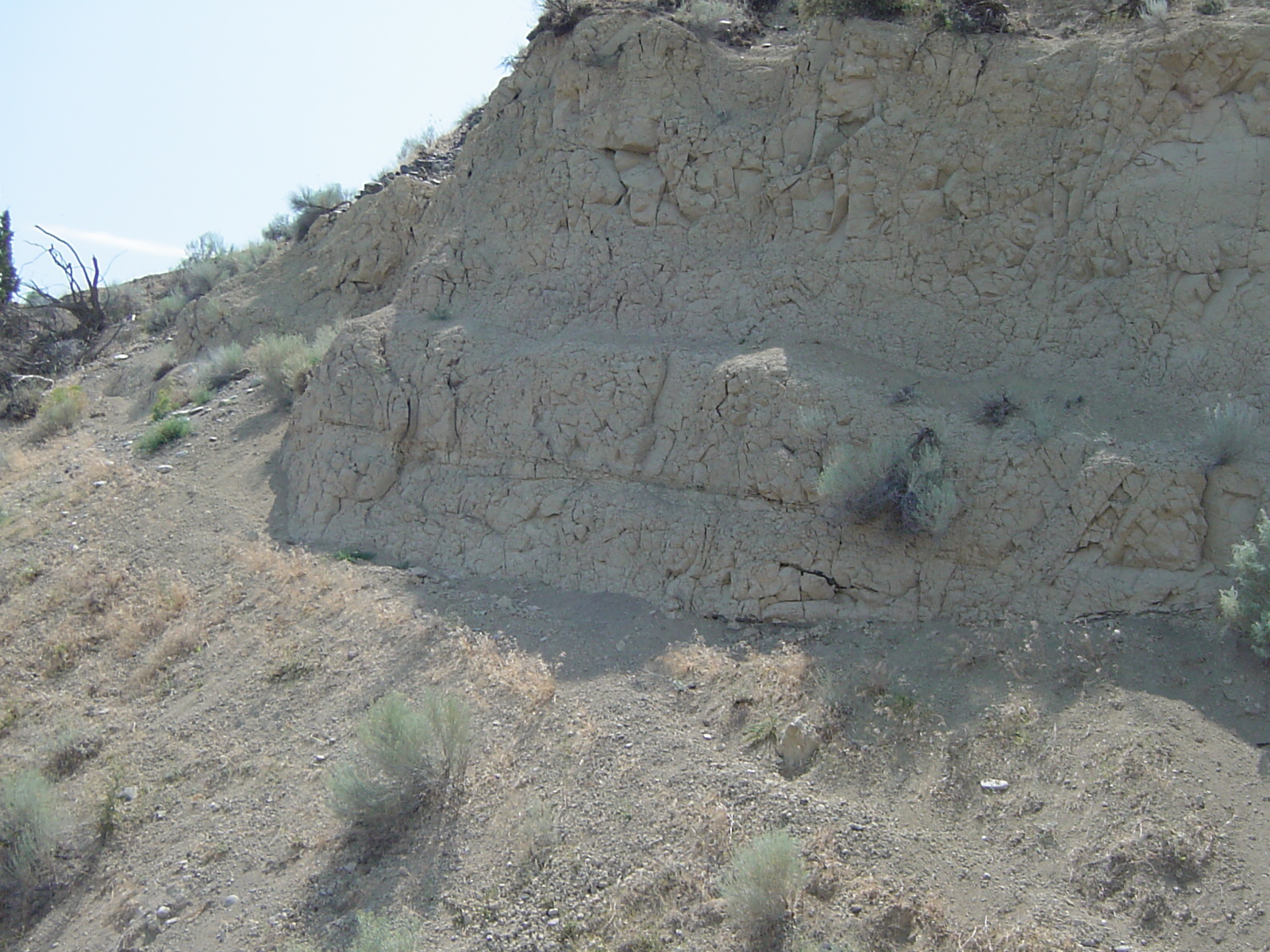
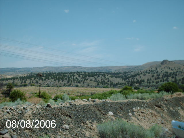
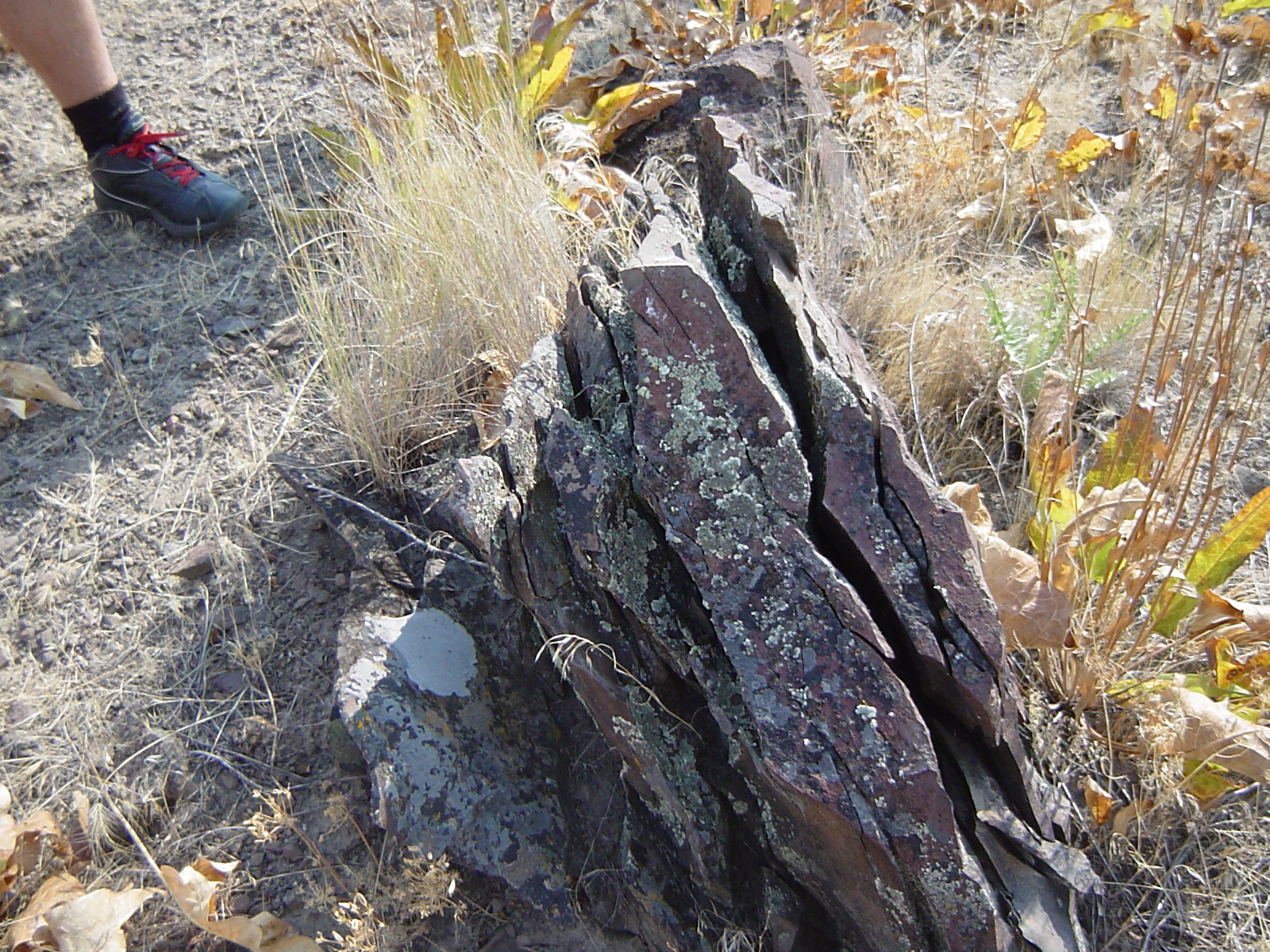
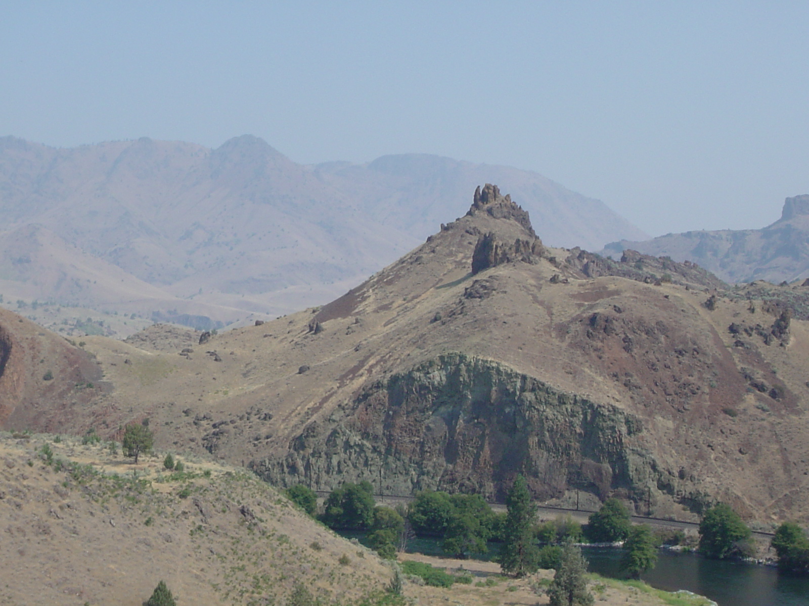
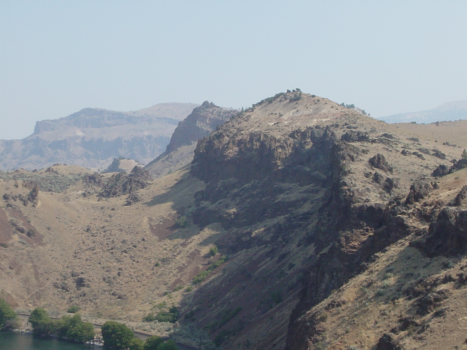
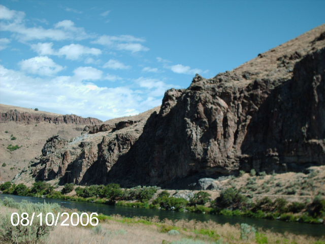
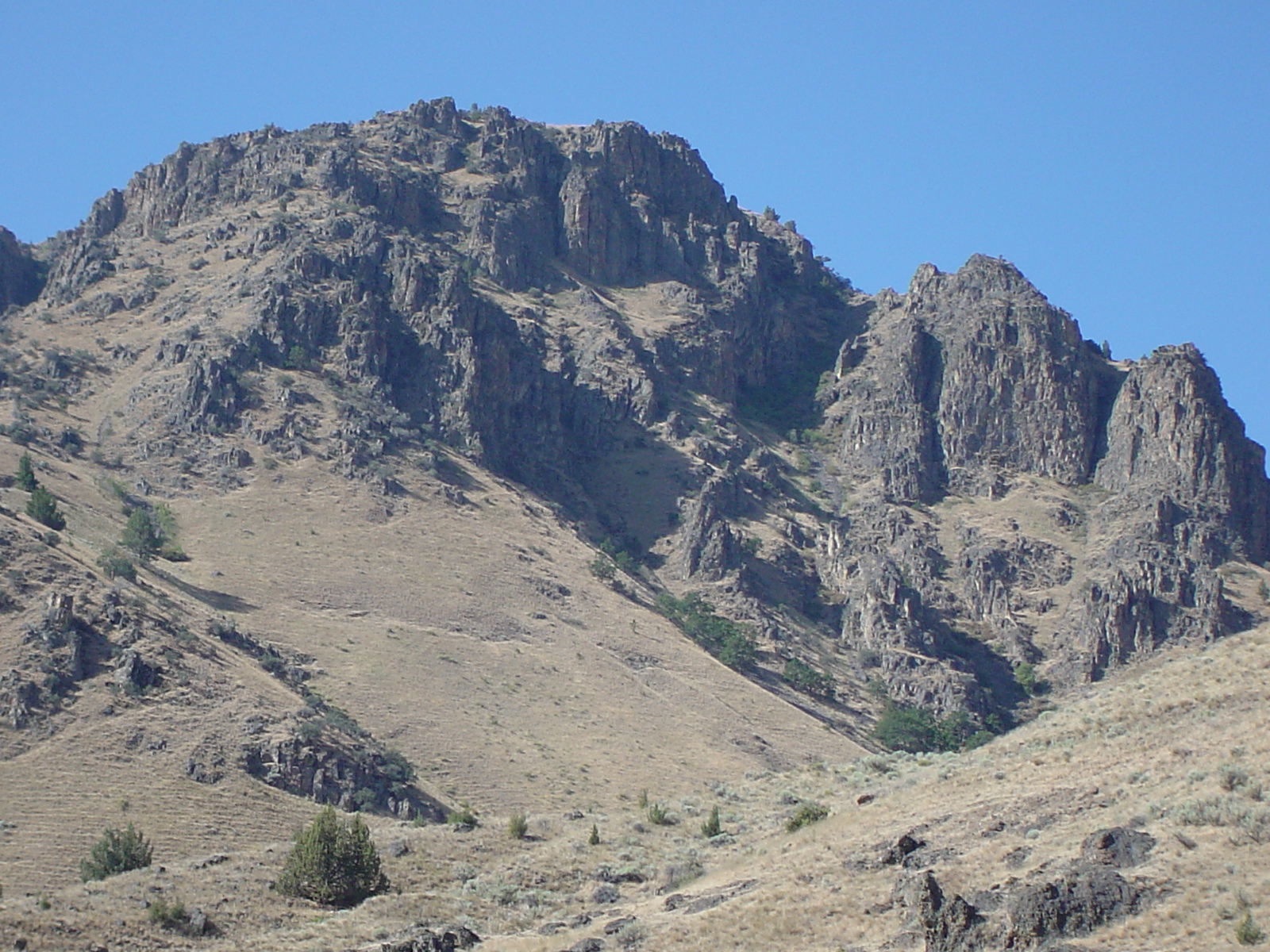
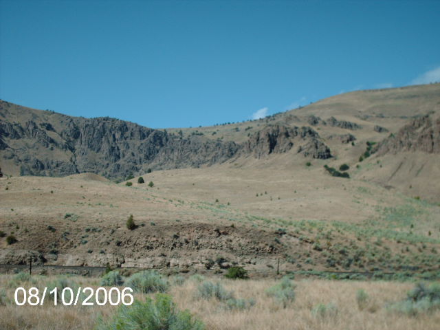
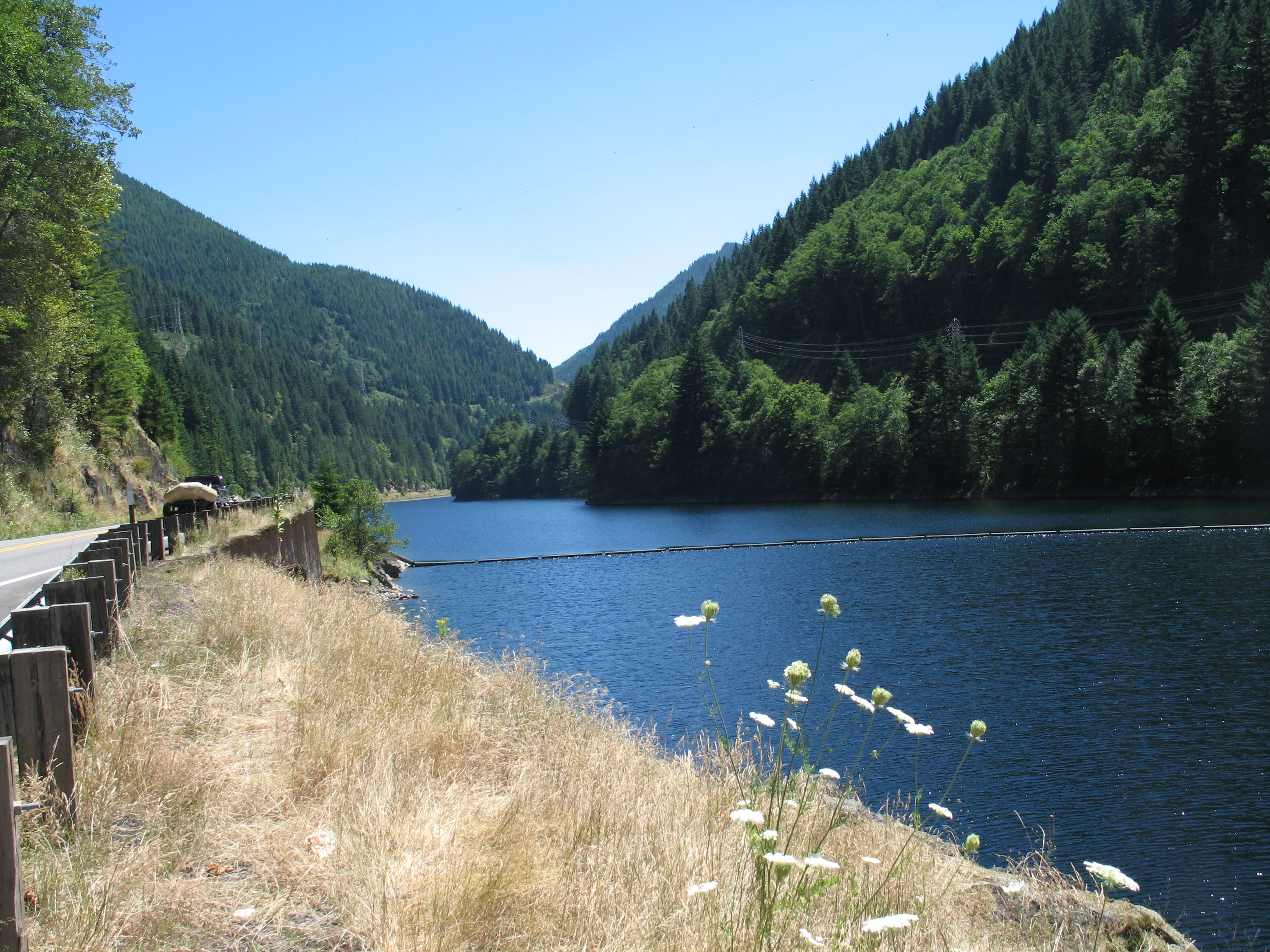
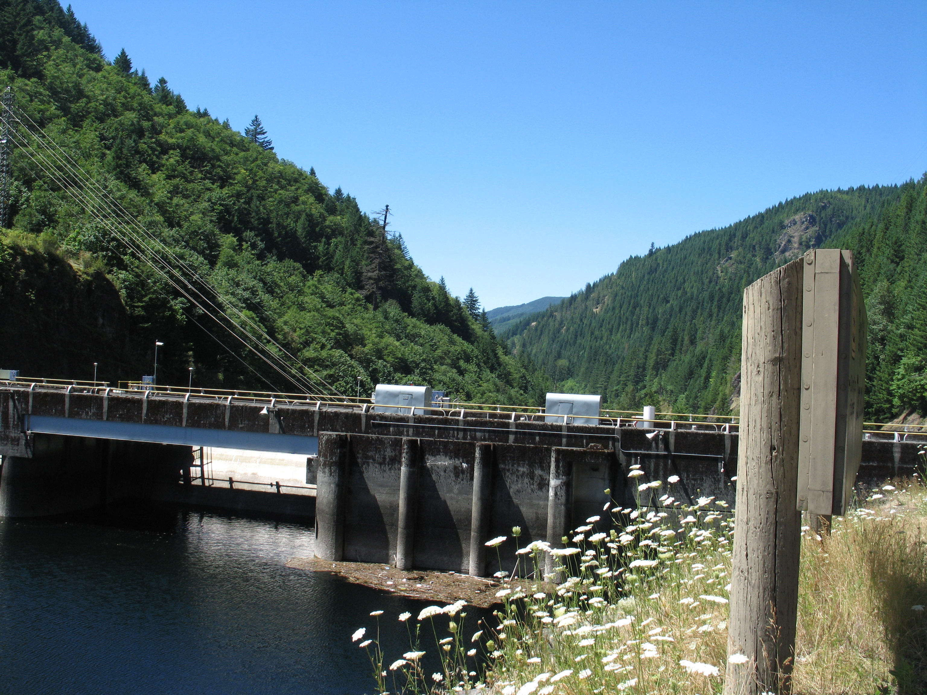
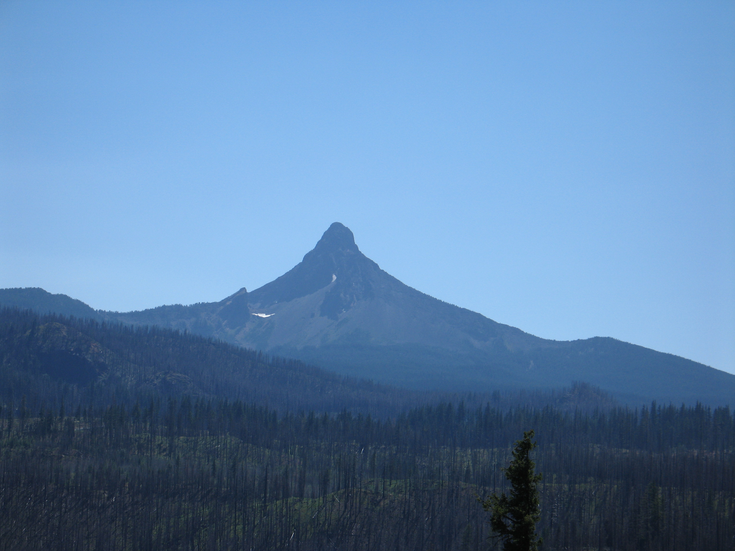
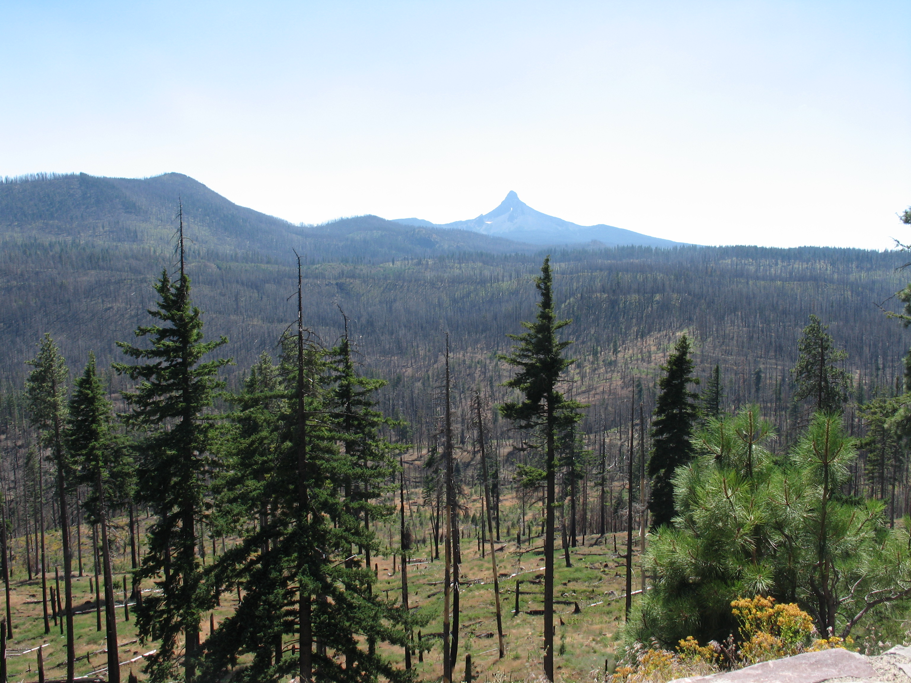
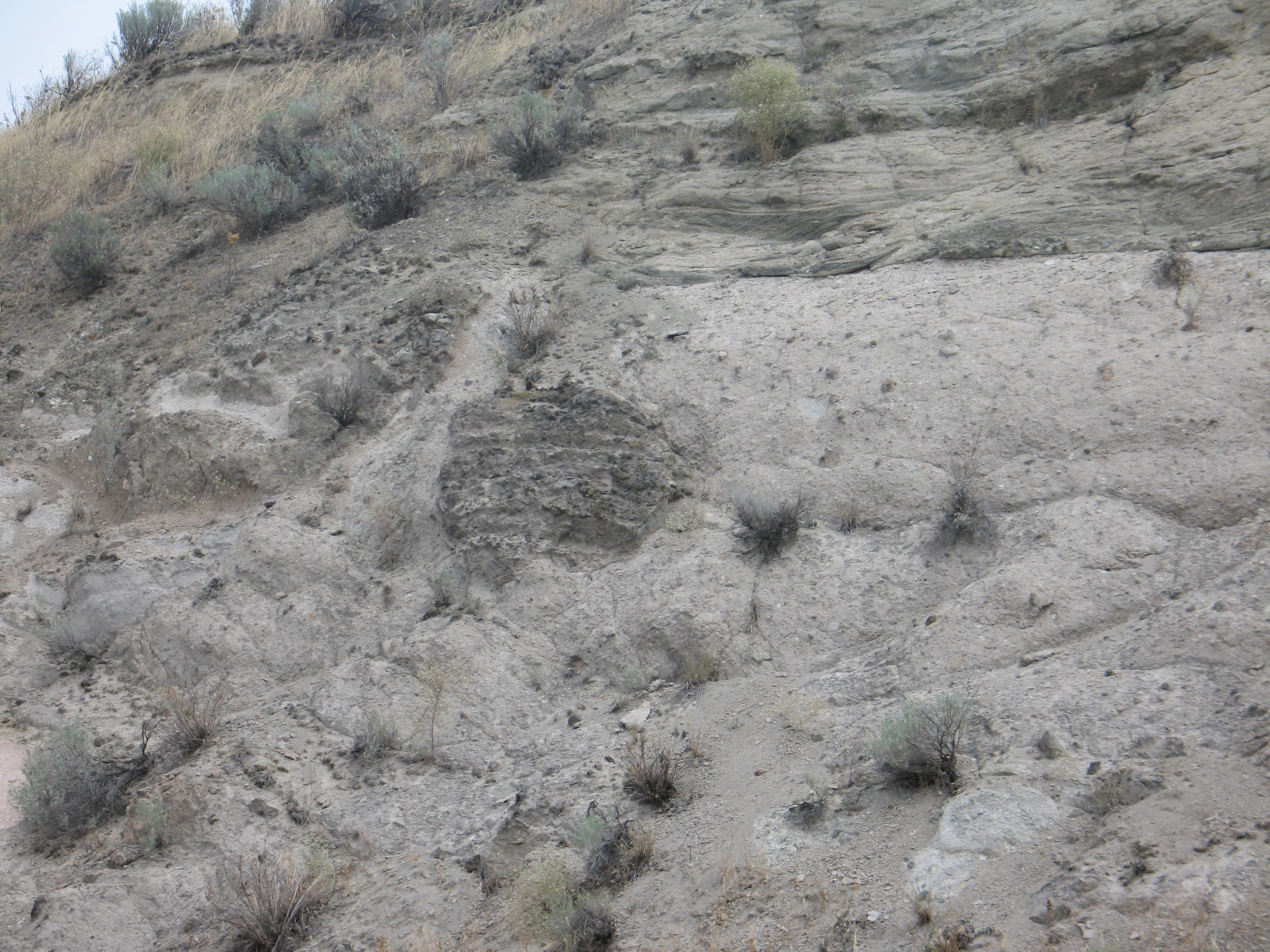
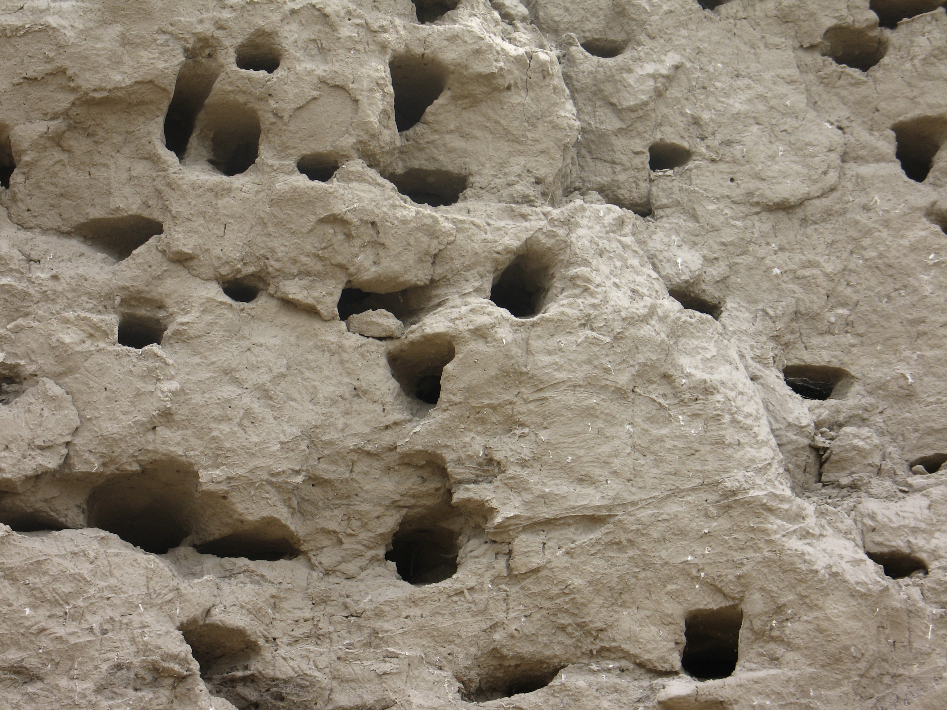
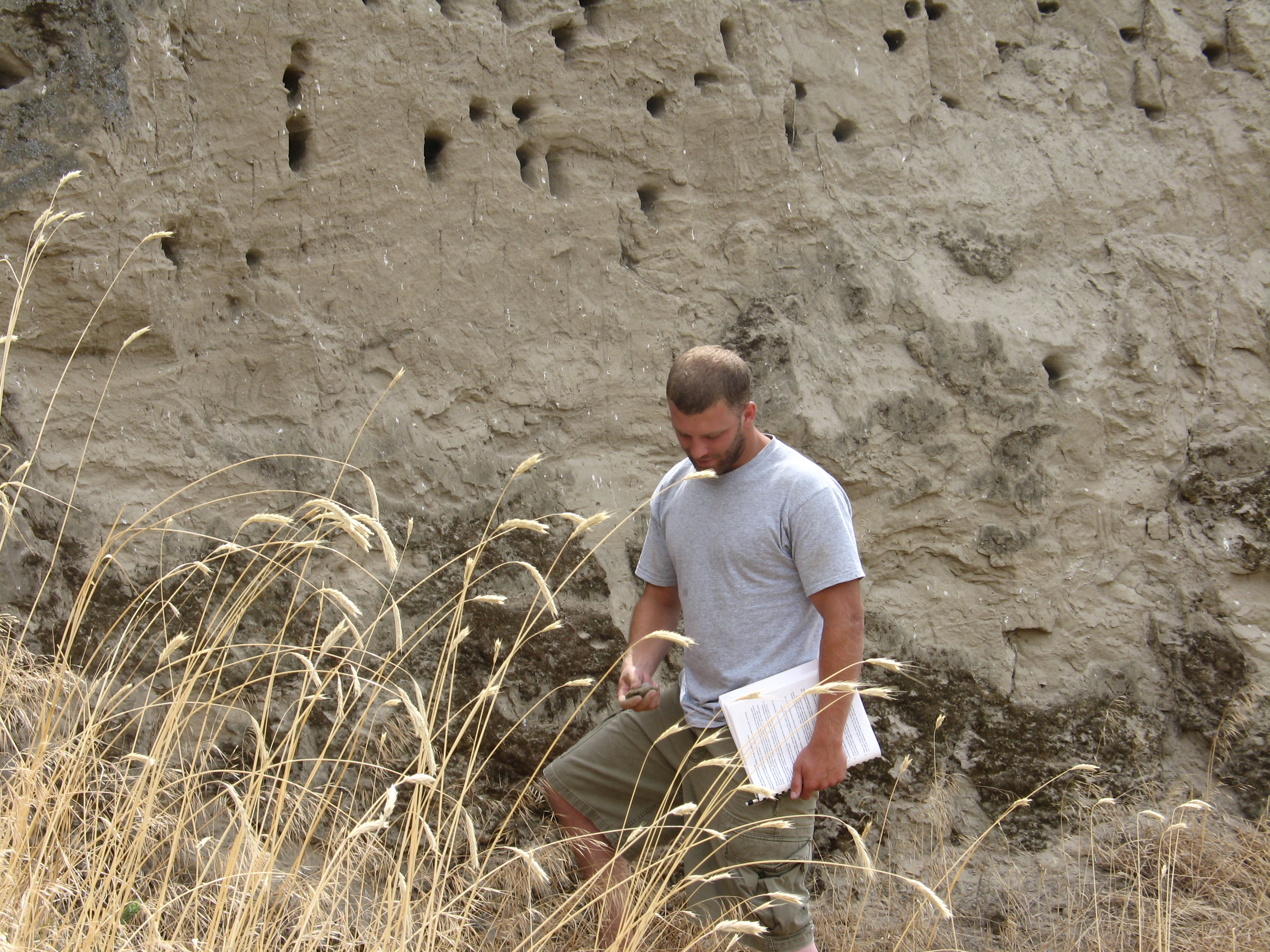
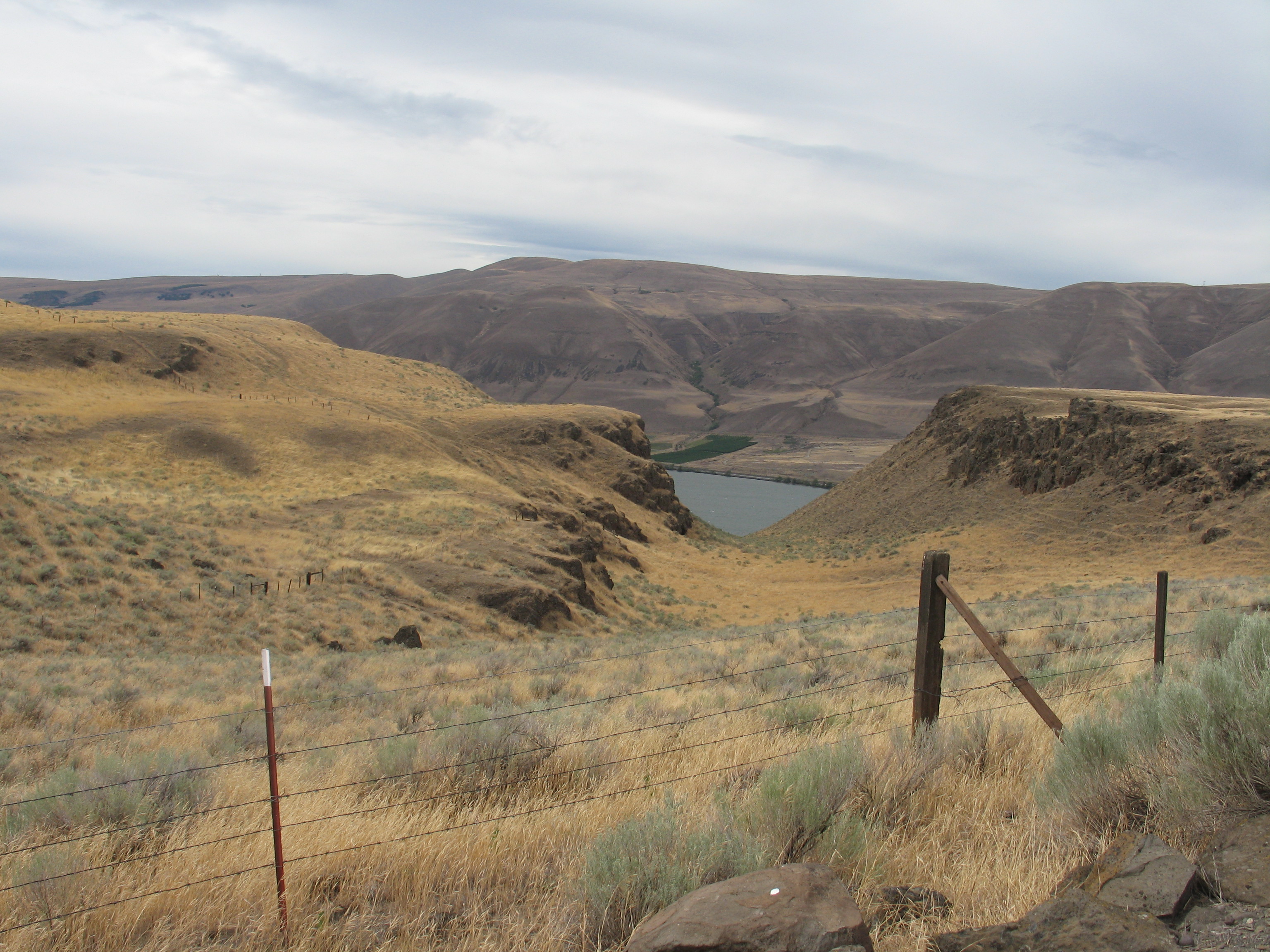
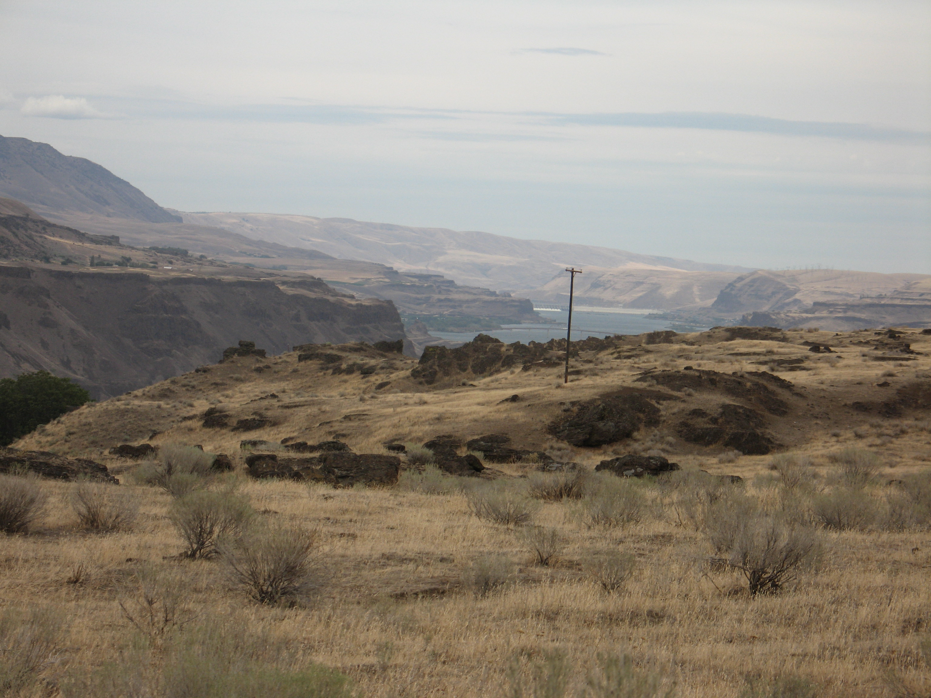
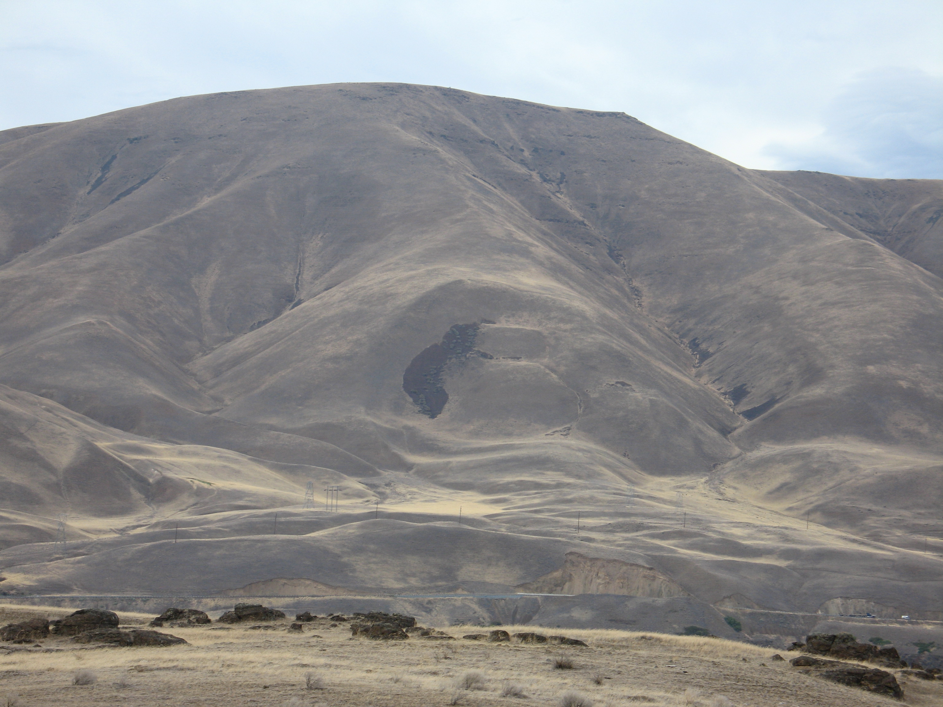
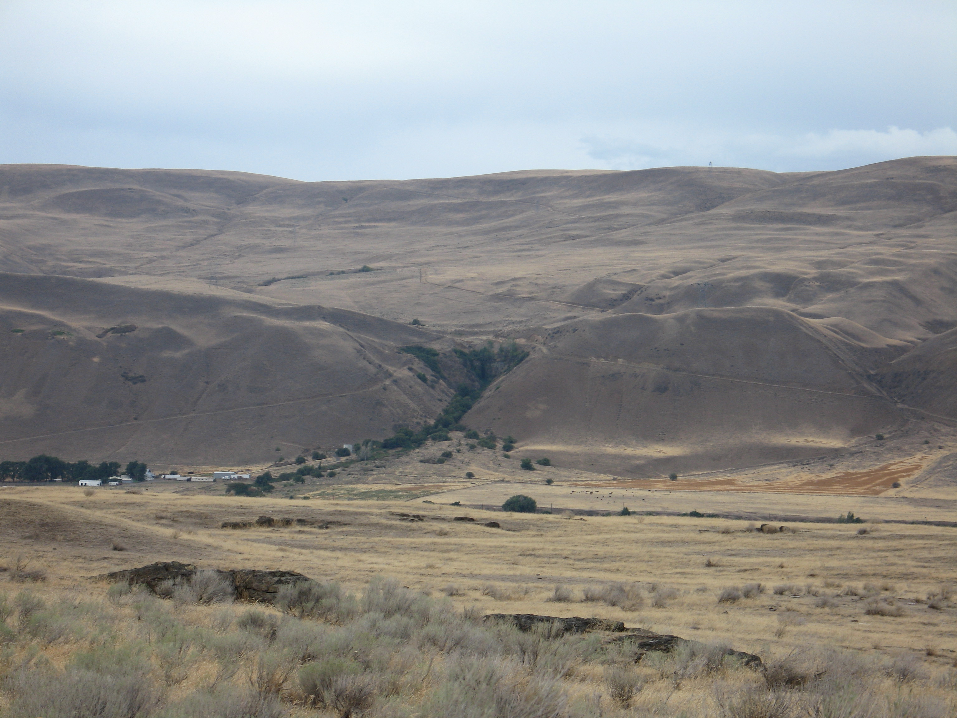
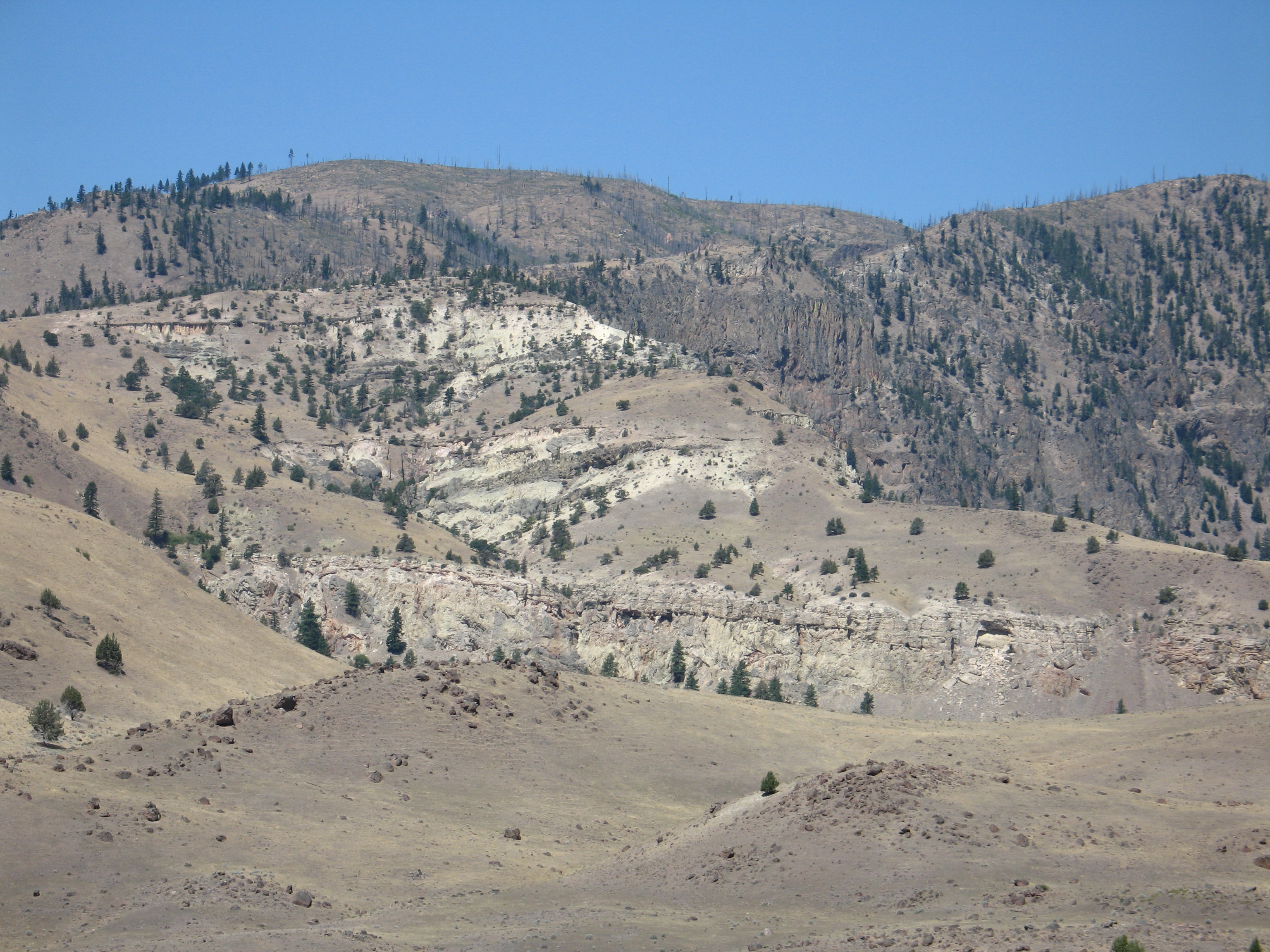
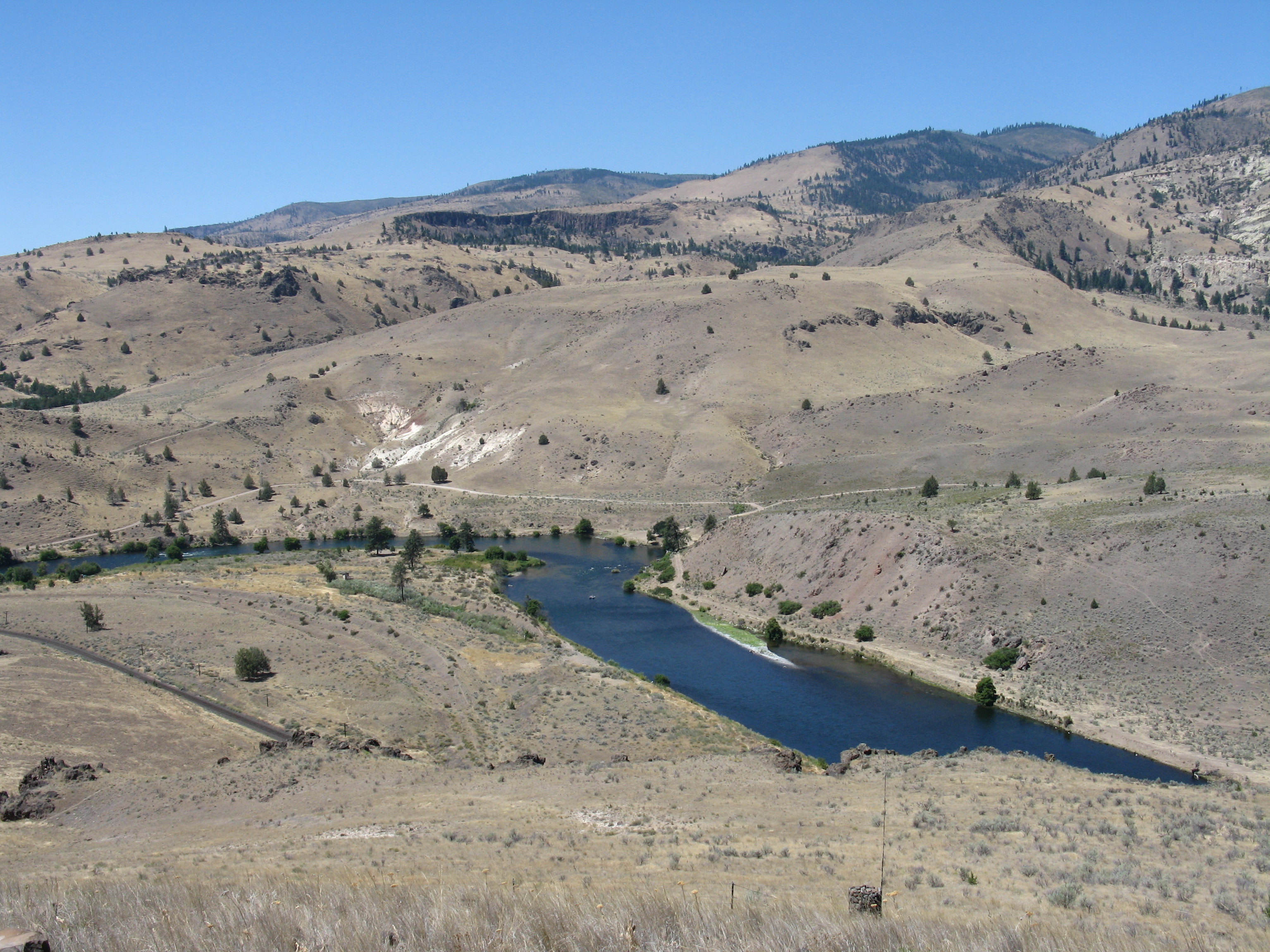
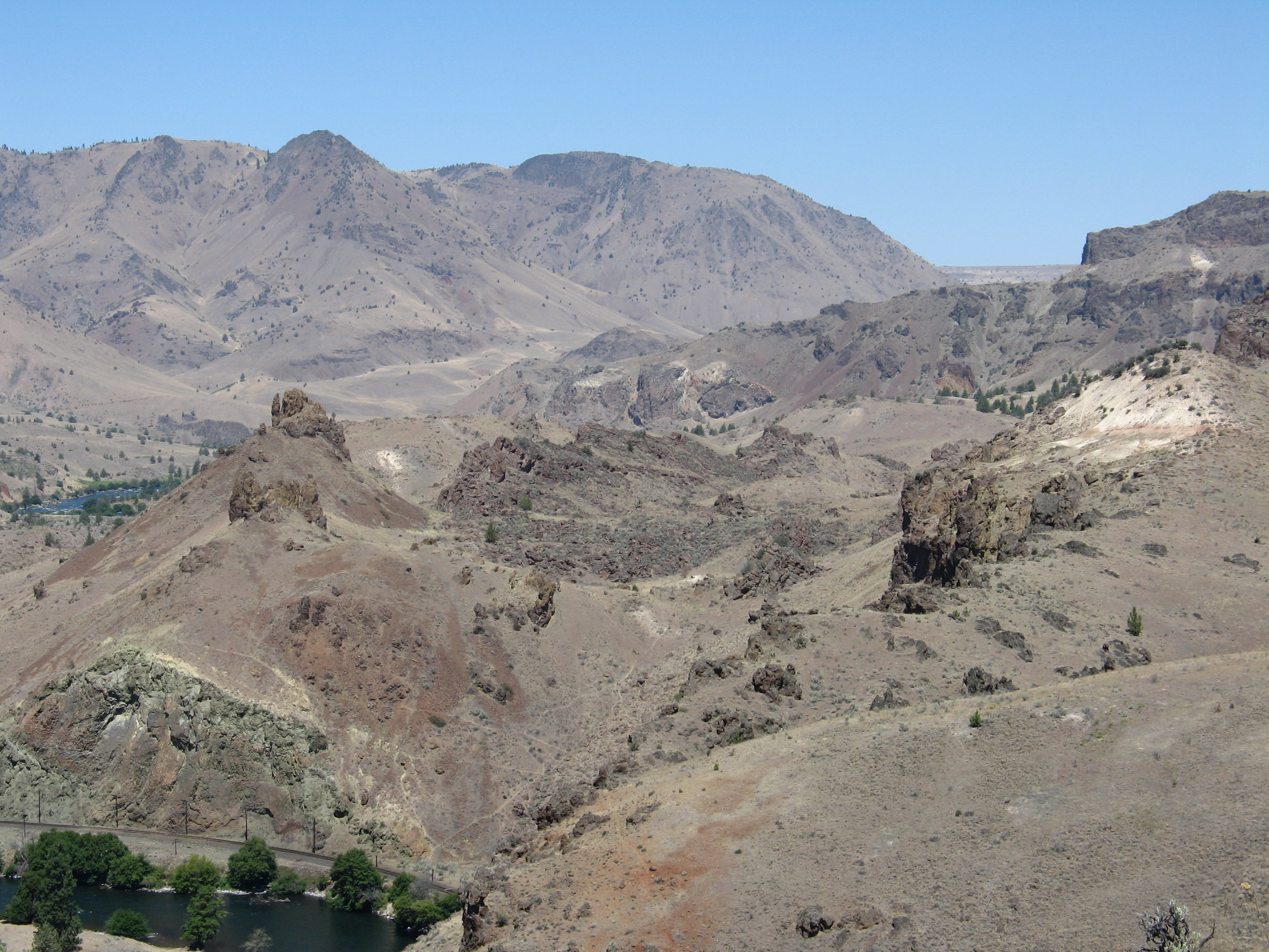
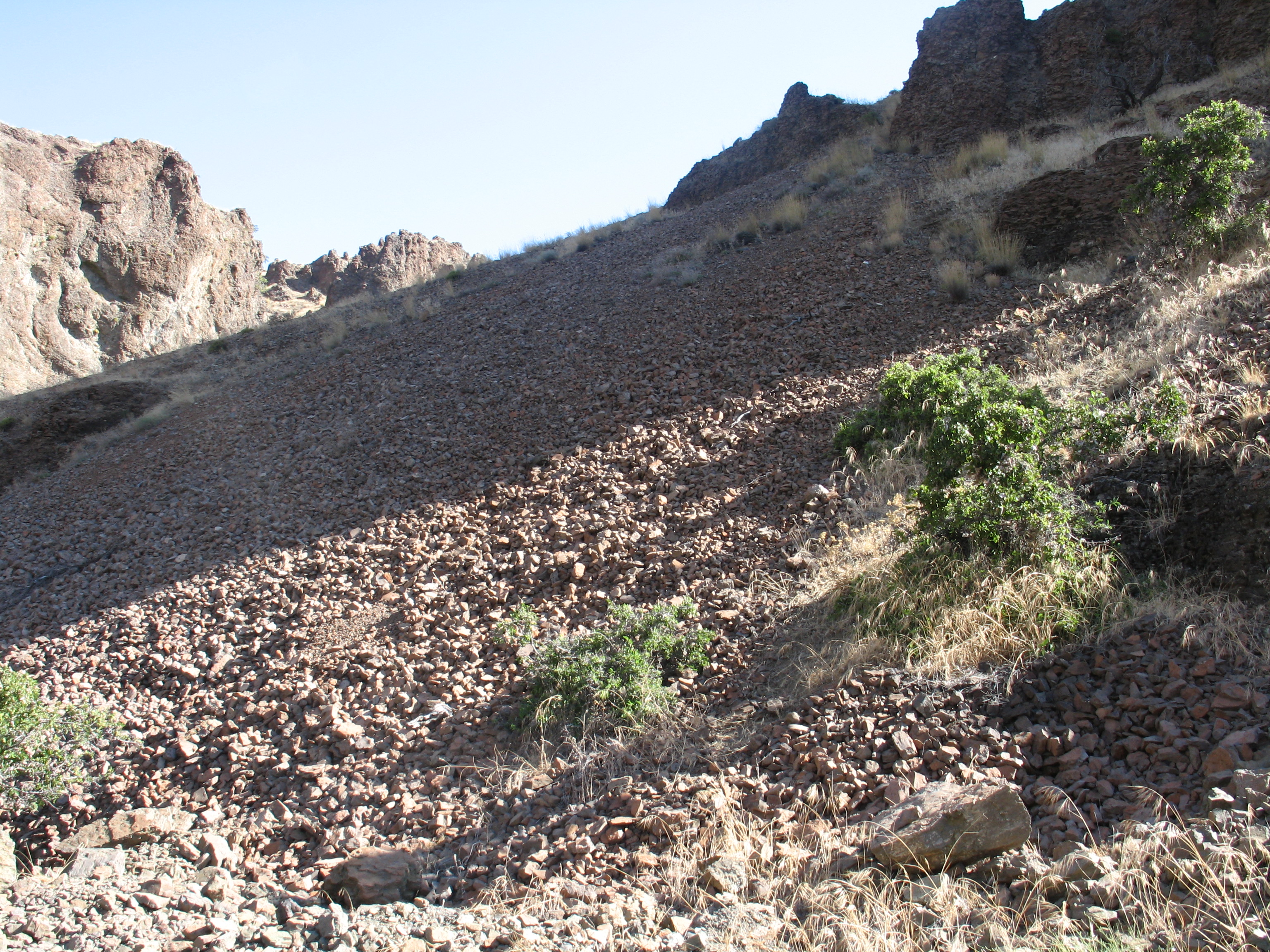
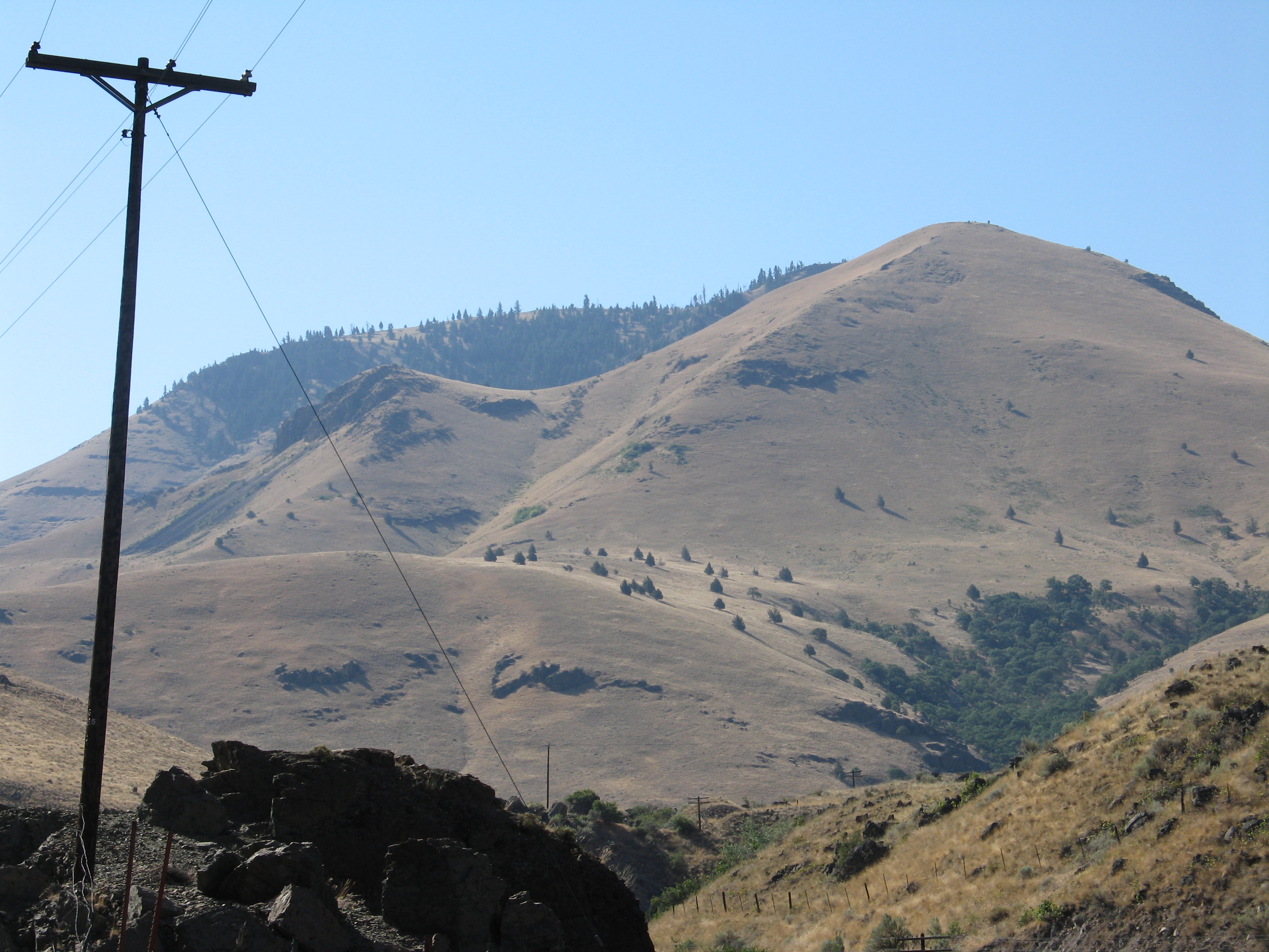
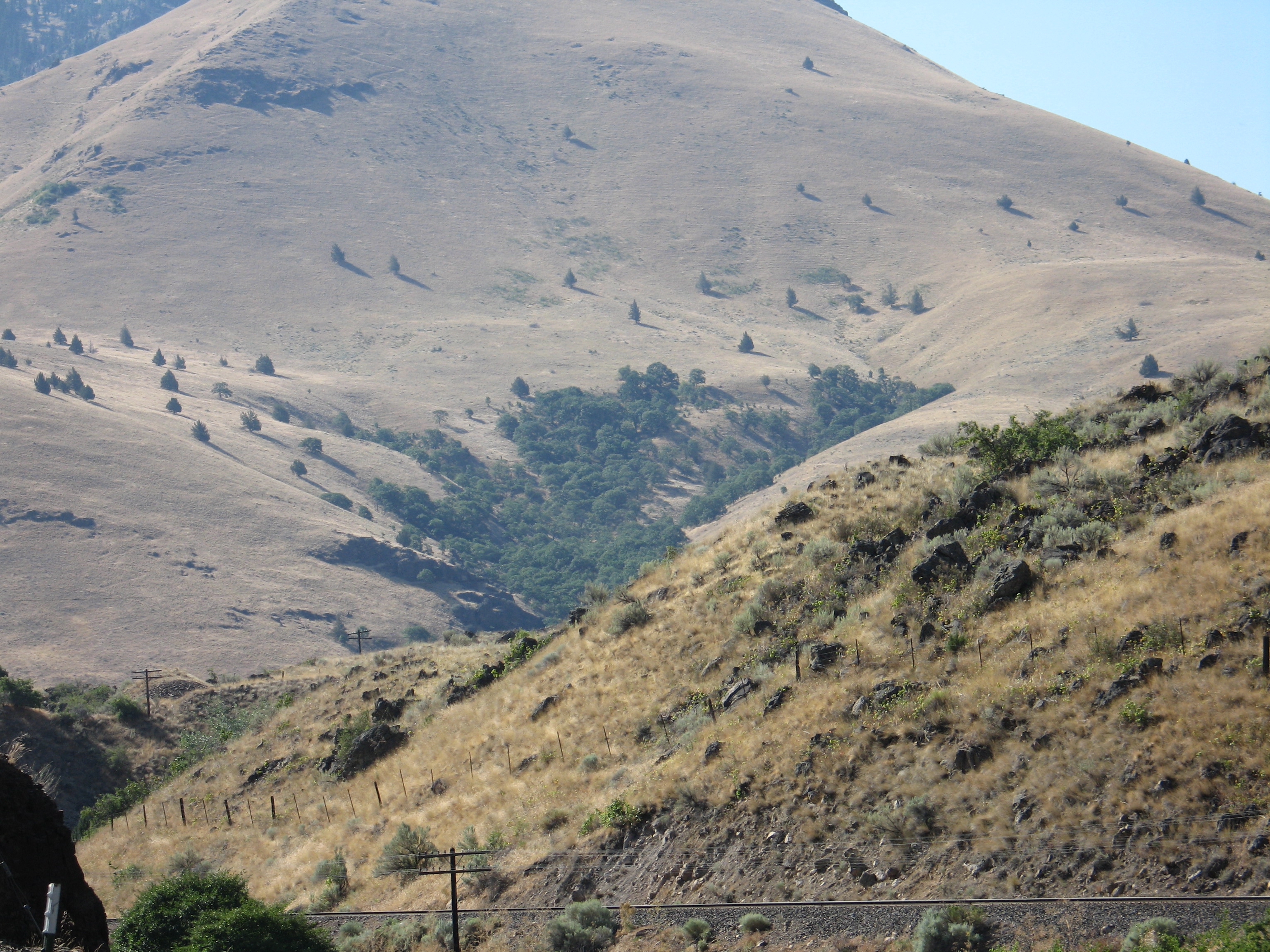
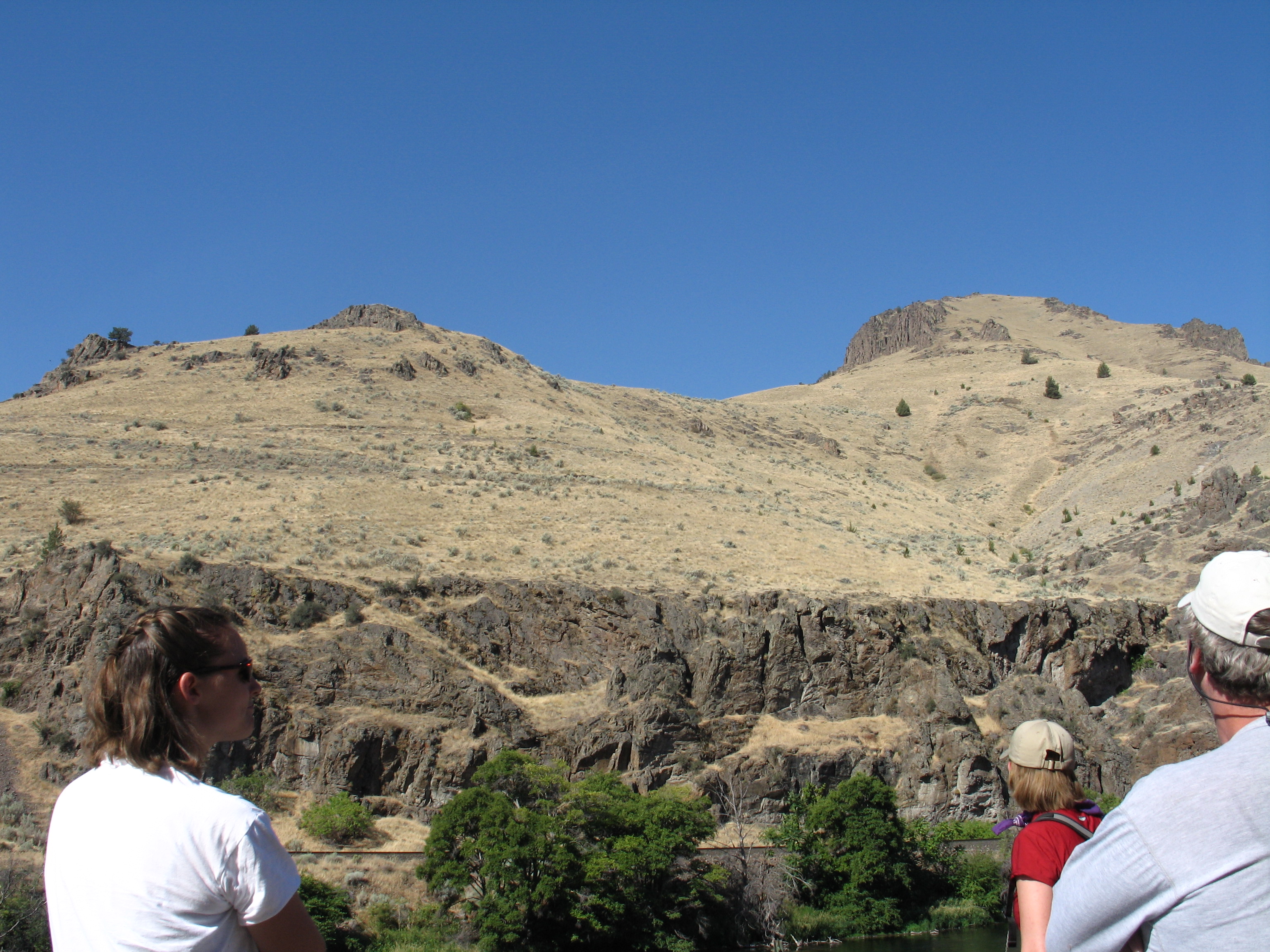
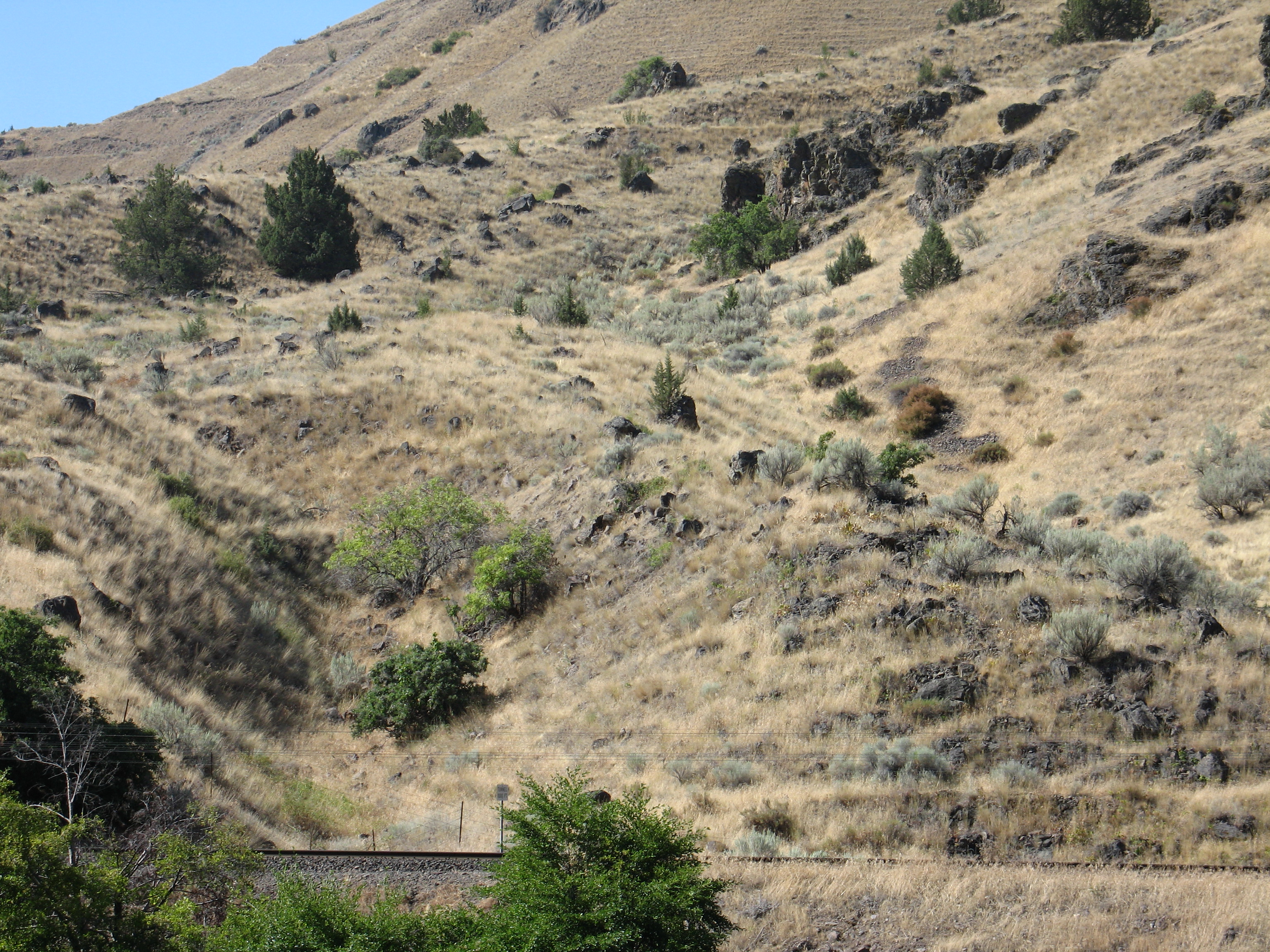
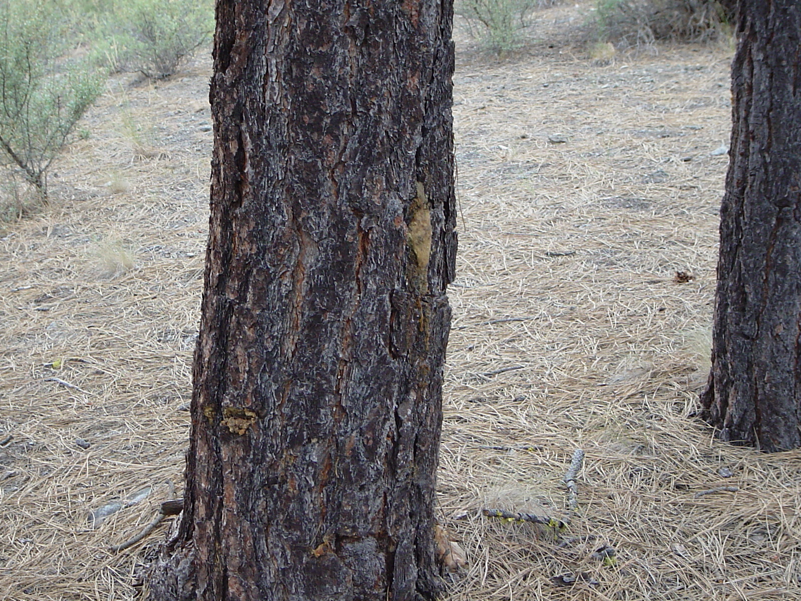
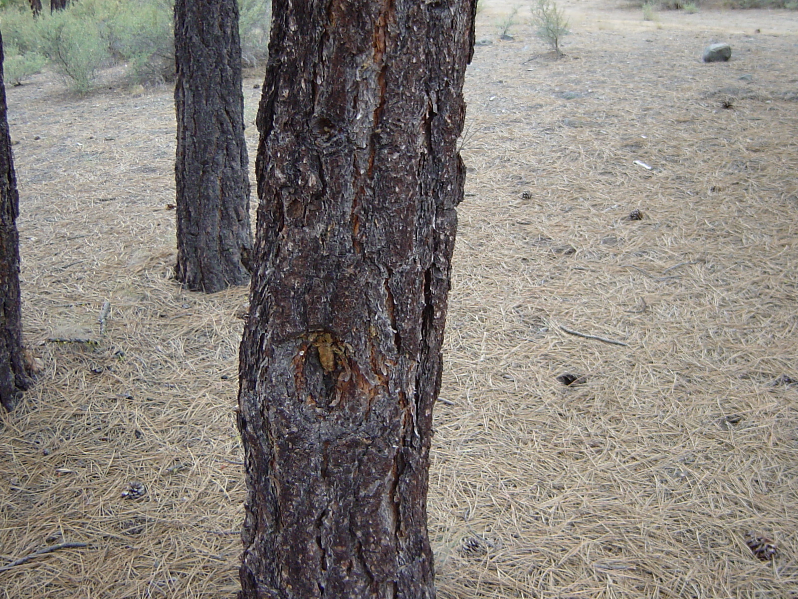
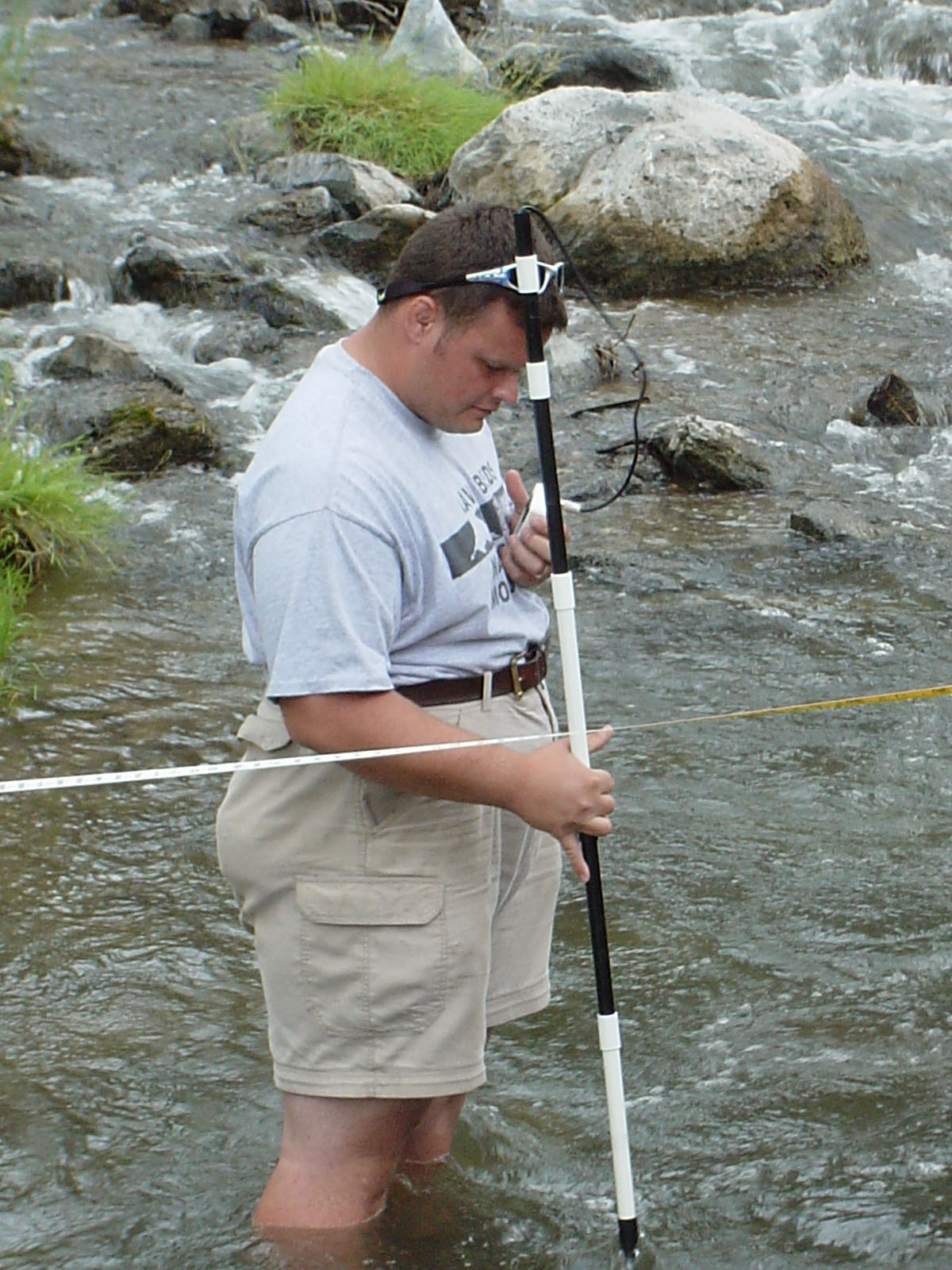
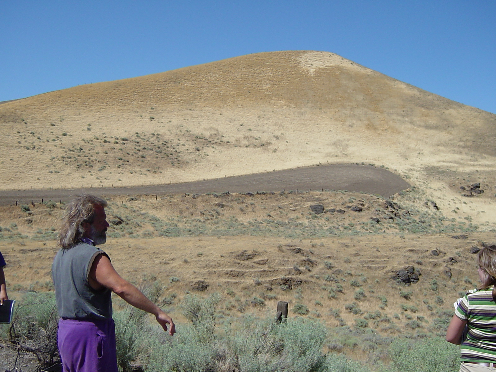
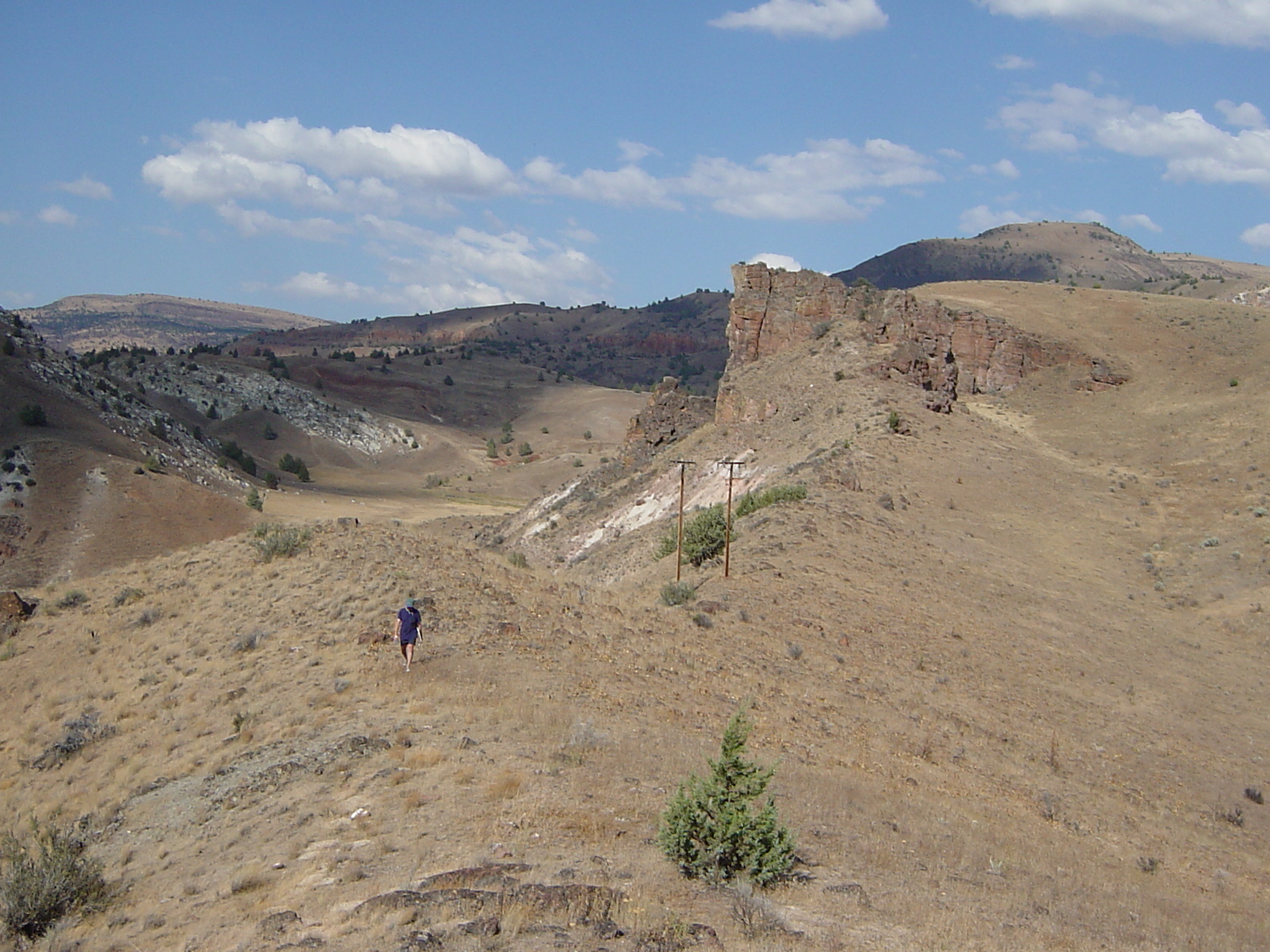
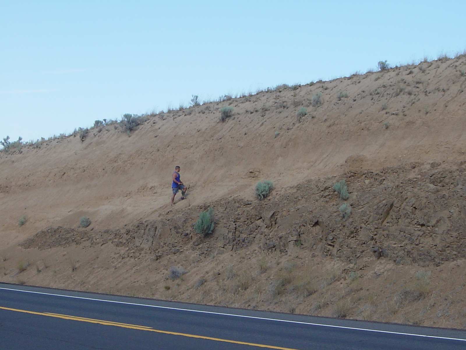
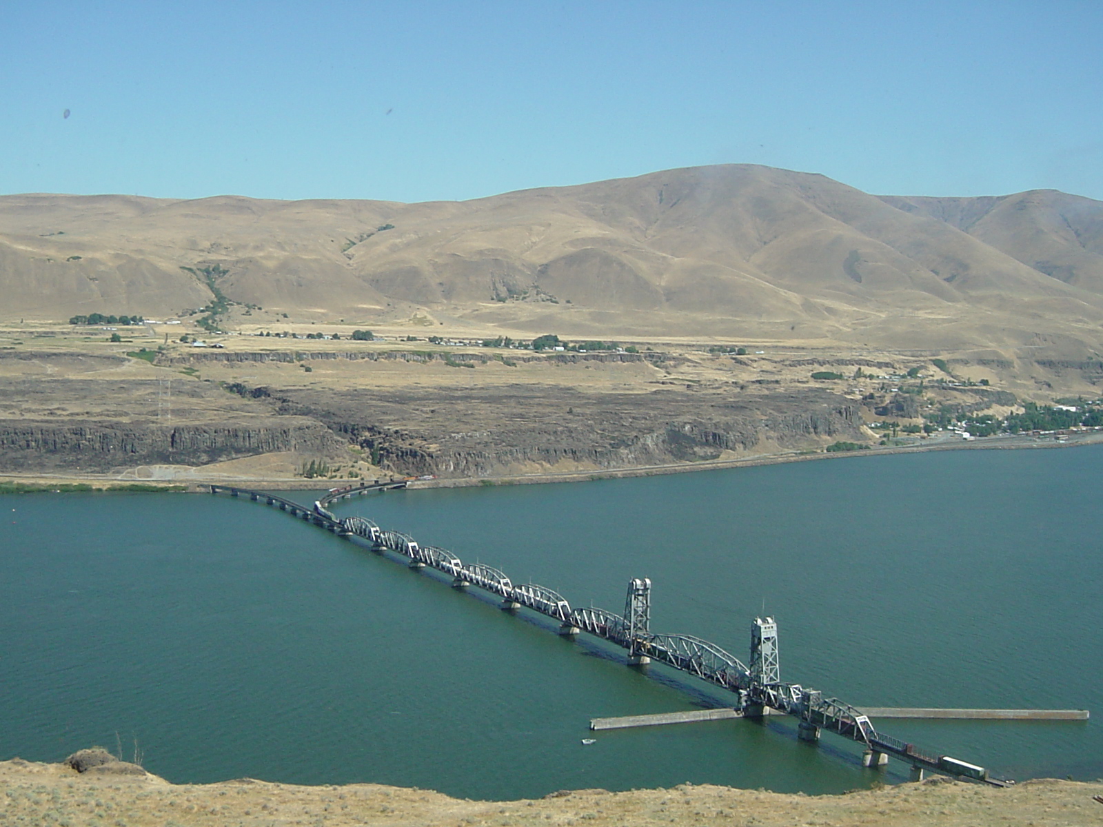
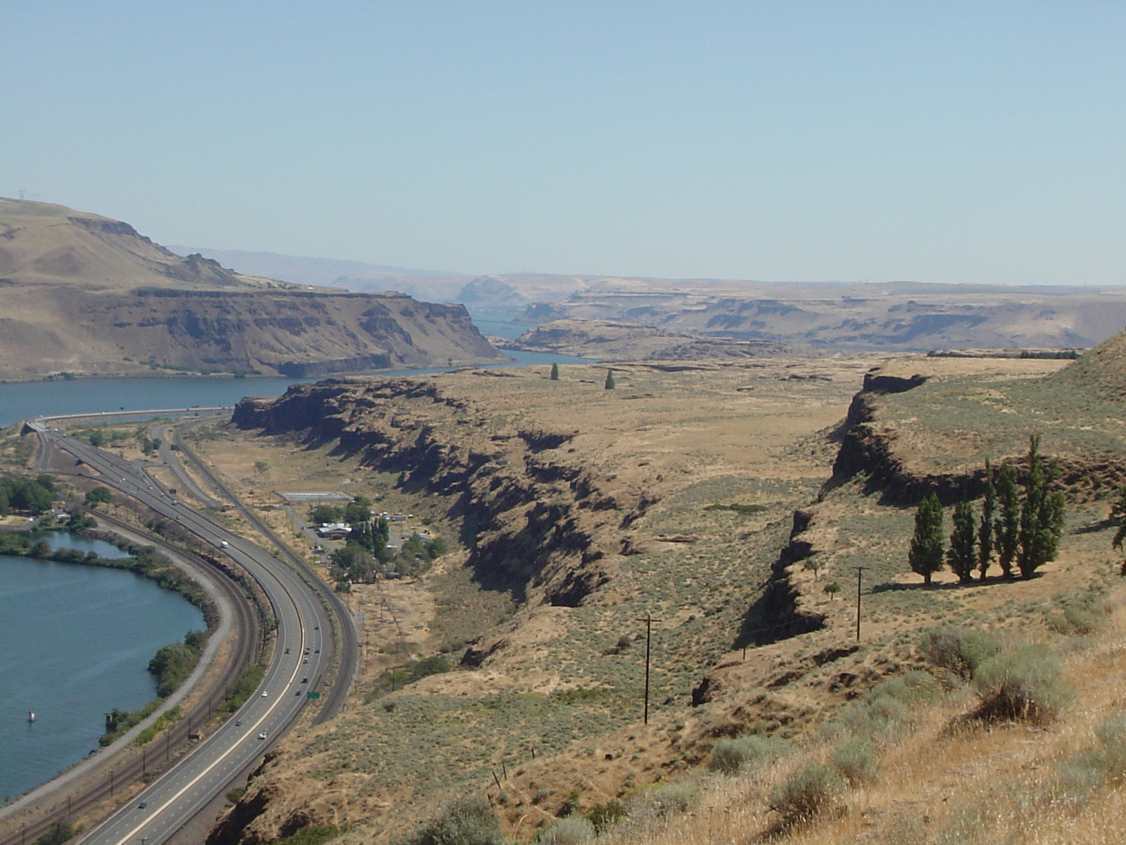
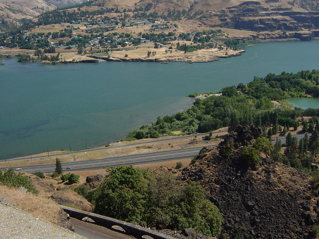
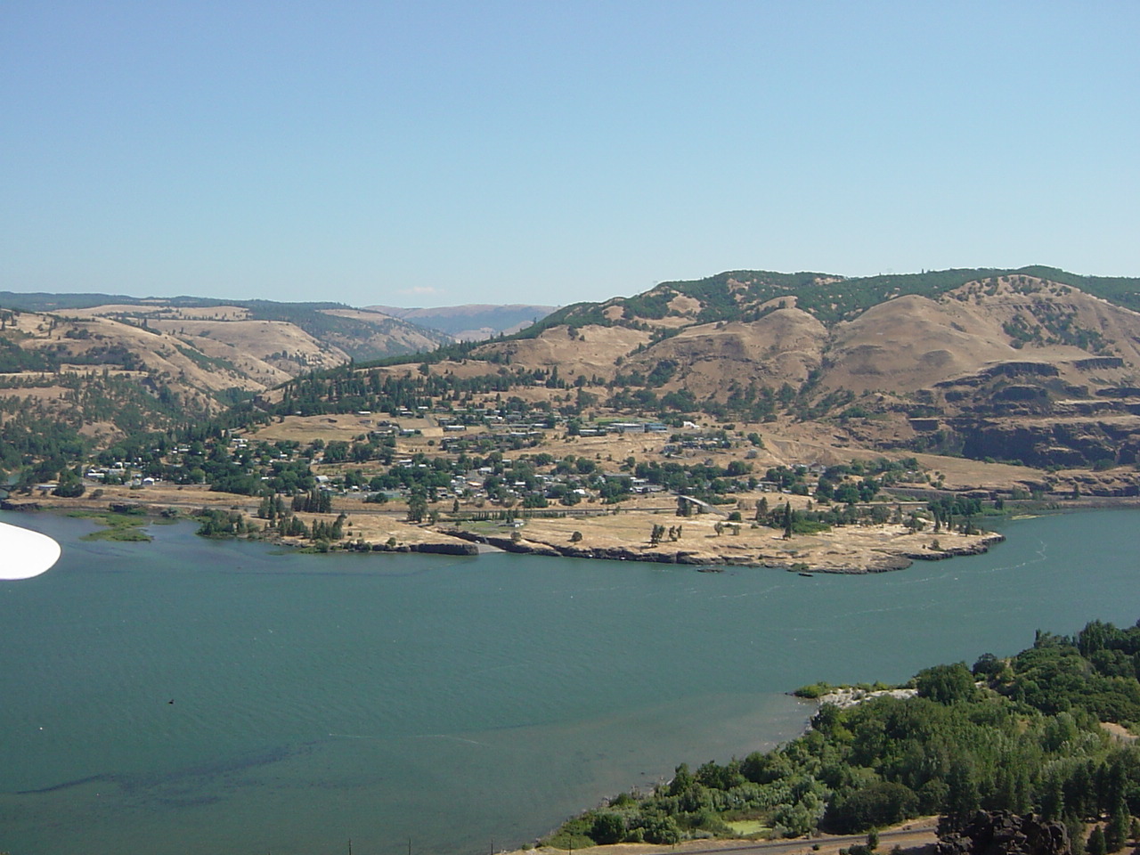
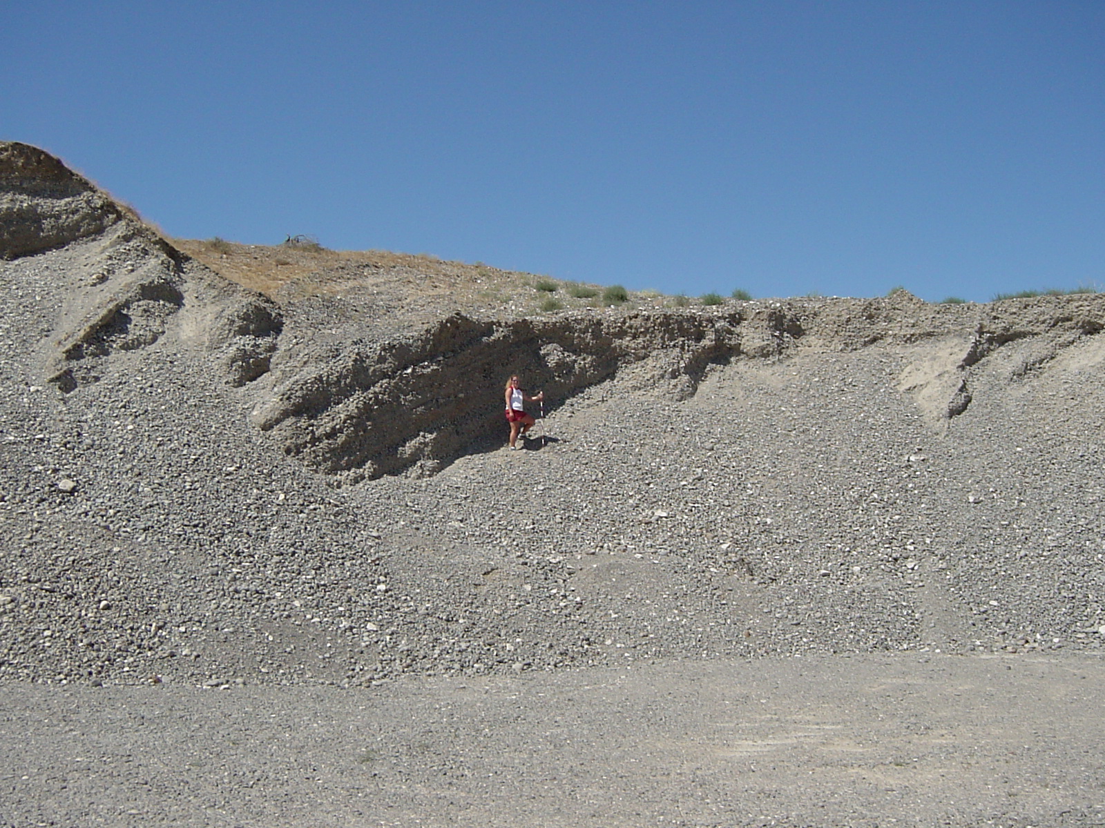
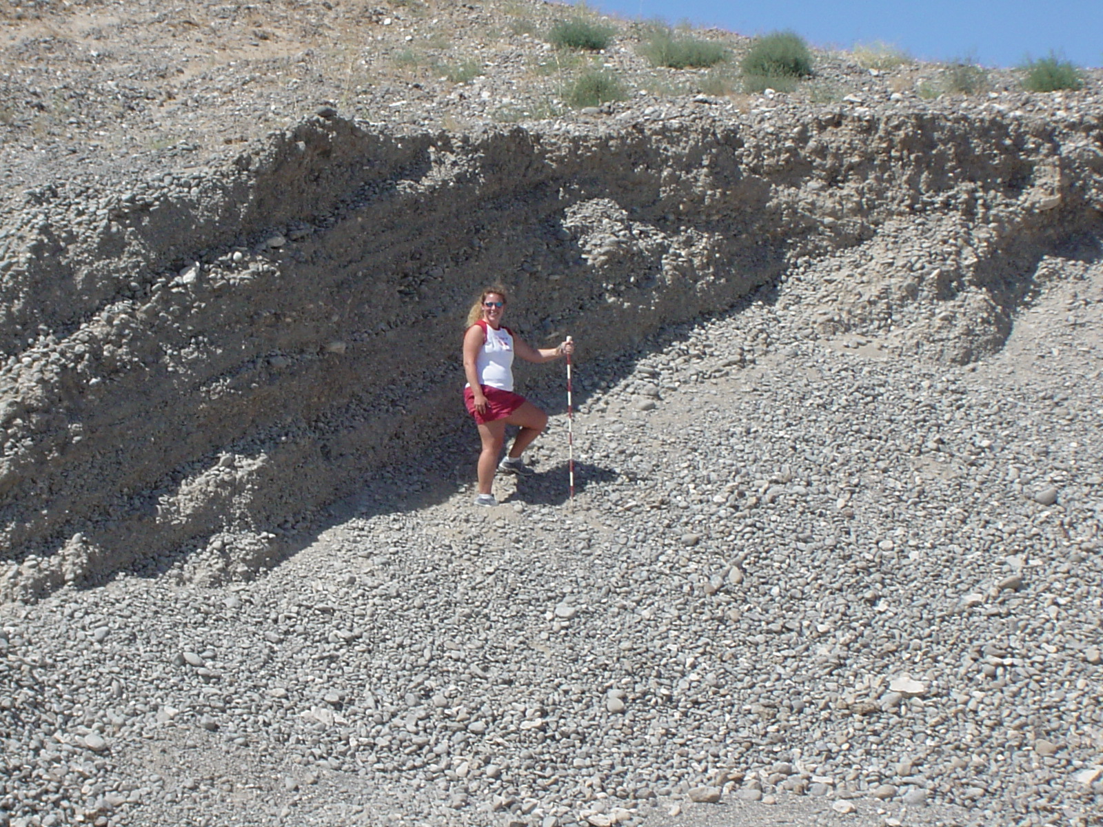
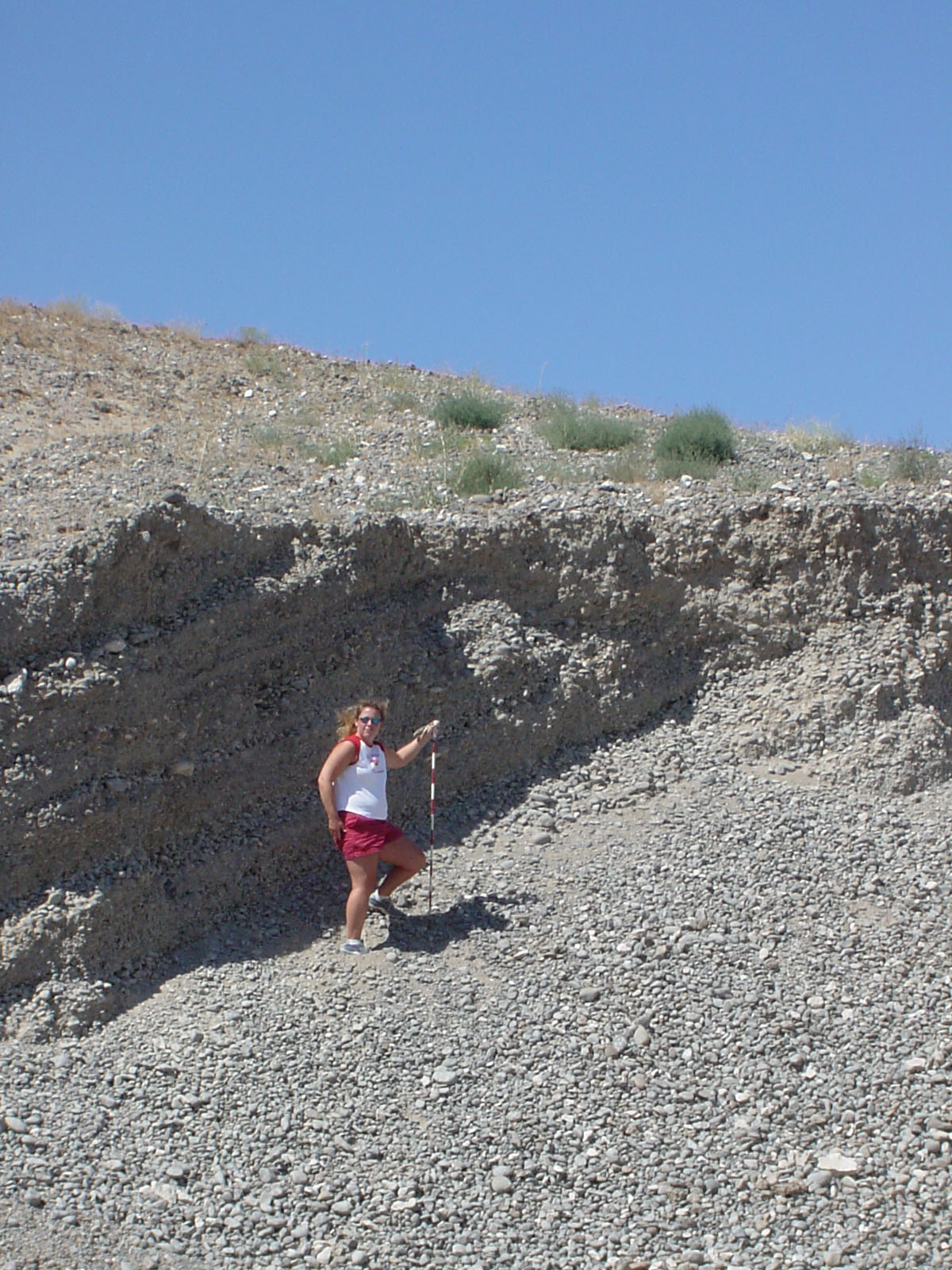
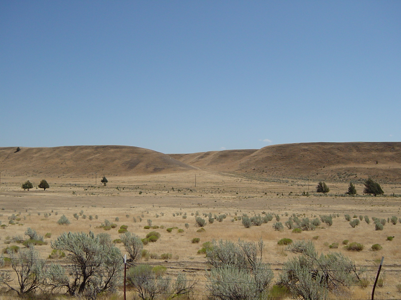
    Overview of Fluvial Geomorphology

    2009 Field Guide Cover

    Table of Contents for Class Notes and Field Trip Guide

  • Class Field Trip Guide Title Page - p. 28 (Intro / Fluvial Notes)
  • Class Field Trip Guide p. 29 - p. 52 (Watersheds / Fluvial Eqations)
  • Class Field Trip Guide p. 53 - p. 79 (Field / Flood Hydrology)
  • Class Field Trip Guide p. 80 - p. 110 (Stream Classification / Landforms / Soils)
  • Class Field Trip Guide p. 111 - p. 133 (Mass Wasting / Surficial Mapping / Conversion Tables / Regional Geologic Setting)
  • Class Field Trip Guide p. 134 - p. 158 (Field Stops, Geologic/Topographic Maps)
  • Class Field Trip Guide p. 159 - p. 188 (Field Stops, Geologic/Topographic Maps)
  • Class Field Trip Guide p. 189 - p. 216 (Review Questions and Field/Lab Exercises)
  • Class Field Trip Guide p. 217 - p. 231 (Applied Field Problems, Geologic Timeline Exercise, Landscape Analysis Exercise)
  • Class Field Trip Guide p. 232 - p. 257 (Addendum 1: O'Connor et al, 2003 Deschutes Figures/Data)

  • New field guide material for 2008: Basics of Salmonid Fisheries in Oregon

  • Class Field Trip Guide p. 258 - p. 267 (Addendum 2: Missoula Flood and Columbia Plateau Loess Figures)

    New Post Oct. 2014 - Topo Bases Maps (La Pine-Finley Butte-HWY197-Fairbanks-Deschutes State Rec.)

    Key Word Index to Field Guide

    Introductory Materials-Videos-Learning Outcomes

    Introduction to Deschutes River Geology Field Course (*.ppt)
    Introductory Concept Video - Kayaking - Landslides and River Response
    Youtube Oregon Climate Change (3 min)
    Youtube Oregon 1996 Flood (3 min)


    Readings

    New Readings for 2014 - Columbia Gorge Geology and Geomorphology

  • Columbia Gorge Cataclysms / Geomorphology (OConnor and Burns,2009)
  • Overview of Columbia River Basalts (Tolan et al., 2009)

    New Readings for 2013 - Crooked River Caldera

  • McClaughry et al. (2009),GSA Three-Day Field Trip Guide to Crooked River Caldera (Smith Rocks-Prineville)
  • McClaughry et al. (2009),Oregon Geology One-Day Field Trip Guide to Crooked River Caldera (Smith Rocks-Prineville)
  • Smith (1997),Field Guide to Geology of HWY 197 The Dalles to Redmond (Oregon Geology Geology and Geomorphology of the Mid-Willamette Valley

    Overview of Oregon Geology

    Newberry Geology and Hydrology

    Orr and Orr, 1999 - Overview of High Lava Plains (Newberry-Upper Deschutes)
    Jenson and Chitwood, 2000 - Overview of Newberry Volcano
    Jensen and Chitwood, 2000 - Lava Butte Eruption and Lake Benham
    Jensen and Chitwood, 2000 - Newberry Caldera Uplift
    Jensen and others, 2000 - Description of Newberry Field Stops
    Chitwood and Jensen (2000) Prehistoric Flooding Along Paulina Creek

    Middle Deschutes Geology and Hydrology

    Orr and Orr, 1999 - Overview of Deschutes-Columbia Plateau
    Bebee et al., 2002 - Middle Deschutes Field Geology

    Columbia Basin - Missoula Flood Features

    O'Connor et al., 1995a - Overview of Missoula Floods
    USGS Missoula Flood Information Site
    Benito and O'Connor, 2003 - Missoula Flood Paleohydrology Between Pasco and Portland
    O'Connor et al., 1995b - Field Stop Guide to Missoula Flood Features in Columbia Gorge Scenic Area
    Orr and Orr, 1999 - Overview of Willamette Valley

    Deschutes River Geology, Geomorphology, and Hydrology

    O'Connor et al., 2003a - Overview of Deschutes Geology, Hydrology, Geomorphology
    O'Connor et al., 2003b - Quaternary Geology and Geomorphology of the Deshutes River Canyon
    Beebee and O'Connor, 2003 - The Outhouse Flood Paleohydrology, Deschutes River
    Hosman et al., 2003 - Holocene Paleoflood Hydrology, Lower Deschutes River


    Field Exercises / Data

    Click Here for Pre-Trip Reading Questions (Su 2009)

  • Section 1 Reading: Orr and Orr (1999) Overview of High Lava Plains
  • Section 2 Reading: Jenson and Chitwood (2000) Overview of Newberry Volcano
  • Section 3 Reading: Orr and Orr (1999) Overview of the Deschutes-Columbia Plateau

    Unit Conversion Tables

    Required Reading Summary Questions

    Systematic Surficial Mapping Exercise
    Intro Watershed Morphometry Exercise
    Intro to Fluvial Hydrology Exercise

    Field Exercise 1 - Day 1 Summary / Day 2 Preview
    Field Exercise 2 - Field Hydrology / Lower Paulina Creek
    Field Exercise 3 - Whitehorse Rapids Profile
    Field Exercise 4 - Recurrence Intervals / Buckskin Mary
    Field Exercise 5 - Soil Mapping / Geomorphic Interpretation

    Applied Problems: Deschutes River Hydrology and Geomorphology

    Geologic Timeline Exercise

    Landscape Analysis 1 - Float from Harpham Flat to Maupin City Park
    Landscape Analysis 2 - Maupin City Park

    2014 Final Project Instructions

    Click Here for Class Portfolio Instructions (Due September 1, 2014)
  • Click Here for 2014 Field Stop Summary

    Work Sample: Example Final Project Portfolio

    Summer 2014 Class Photo Gallery

  • 2014 Field Photos (*.zip - thanks to Brian and Lori)

    Summer 2013 Class Photo Gallery

  • 2013 Field Photos (*.zip - thanks to Karla and Brian)

    Summer 2012 Class Photo Gallery

  • Field and Team Photos Days 1-6 from Lauren (*.zip ~735 Mb)
  • Symone Day 1 Field and Team Photos (*.zip ~99 Mb)
  • Symone Day 2 Field and Team Photos (*.zip ~138 Mb)
  • Symone Day 3 Field and Team Photos (*.zip ~287 Mb)
  • Symone Day 4 Field and Team Photos (*.zip ~273 Mb)
  • Symone Day 5 Field and Team Photos (*.zip ~119 Mb)
  • Symone Day 6 Field and Team Photos (*.zip ~82 Mb)


    Summer 2009 Class Gallery

    Field Stop Photos (in chronological order)

  • Santiam River / Detroit Dam
  • Santiam River / Detroit Dam
  • Mt. Washington Overlook
  • Mt. Washington Overlook
  • Mazama Ash - Newberry Entrance
  • Paulina Lake
  • Paulina Peak Overlook
  • Paulina Peak Overlook - view to west / Three Sisters
  • Newberry Big Obsidean Flow
  • Newberry Big Obsidean Flow
  • Newberry Caldera - Paulina Lake
  • Newberry Caldera - Central Cone
  • Paulina Falls
  • Paulina Creek - lower end
  • Lava Butte vent zone
  • Newberry Cinder Cones - East Flanks
  • The Dalles Fm. Hwy197 Roadcut
  • Loess (soil development) Hwy197 Roadcut
  • Columbia Gorge - Celilo Falls Overlook
  • Trout Creek Camp / Aerial View
  • Trout Creek Camp / Aerial View
  • Deschutes River Scenery
  • Deschutes River Scenery
  • Deschutes River Scenery
  • Deschutes River Scenery - John Day Fm.
  • Deschutes River Scenery - John Day Fm.
  • Deschutes River Scenery - John Day Fm.
  • Deschutes River Scenery - John Day Fm.
  • Jody's Hard Rock Cafe
  • Deschutes hillslope environment
  • Deschutes River -CRB / John Day Fm outcrop
  • Deschutes River Channel
  • Deschutes Rive Channel
  • Warm Springs RR Cut / John Day Fm.
  • Warm Springs RR Cut / Strath Terrace
  • Deschutes - riffle
  • Deschutes Lunch Stop Day 2 - Jumping Rock
  • Deschutes - Clarno Fm.
  • Middle Deschutes - Clarno Fm.
  • Middle Deschutes - Clarno Landscape
  • Middle Deschutes - Riparian Zone
  • Middle Deschutes - More Clarno Fm.
  • Middle Deschutes - Four Chutes Rapid / Buckskin
  • Middle Deschutes - Dant Debris Fan
  • Middle Deschutes - Dant Debris Fan
  • Middle Deschutes - Outhouse Floodbar / Strath Terrace
  • Middle Deschutes - Outhouse Floodbar / Strath Terrace
  • Middle Deschutes- Upstream of Maupin - CRB Country
  • Middle Deschutes- Upstream of Maupin - CRB Country
  • Middle Deschutes- Upstream of Maupin - CRB Country
  • Middle Deschutes- Upstream of Maupin - CRB Country
  • Middle Deschutes- Upstream of Maupin - CRB Country
  • People Photos

  • 2009 People Photos Set 1
  • 2009 People Photos Set 2
  • 2009 People Photos Set 3

  • Summer 2008 Class Gallery

    Field Stop Photos (in chronological order)

  • Santiam River Channel
  • Santiam River Gravel / Alluvium
  • Santiam River walking tree / paleoflood evidence
  • Volcanic Rocks of Western Cascades
  • Big Cliff Dam
  • Forested Hillslopes of Western Cascades
  • Mt. Washington Overlook
  • Suttle Lake Overlook / B&B Fire Complex
  • Suttle Lake Overlook / B&B Fire Complex
  • Exposure of Glacial Diamicton / Suttle Lake
  • Suttle Lake
  • Mazama Ash and Pumice at Newberry Entrance
  • Paulina Peak Overlook - View of 3 Sisters to West
  • Paulina Peak Overlook - Intepretive Sign at Caldera
  • Newberry Big Obsidean Flow
  • Newberry Caldera
  • Newberry Caldera - Central Cone
  • Paulina Lake / Little Cone Campground (lake terrace)
  • Paulina Lake - western shore near outlet
  • Paulina Falls
  • Paulina Creek - lower end
  • Lava Butte - interpretive sign
  • Lava Butte aa flow buries Mazama Ash
  • Lava Butte and aa flow
  • Lava Butte and flow
  • Mouth of the Deschutes / State Rec. Area
  • Fire in Columbia Gorge (Active CRB Lava Flow?)
  • Columbia River Basalts - HWY197 Road Cut The Dalles
  • The Dalles Formation - HWY197 Road Cut
  • The Dalles Formation - HWY197 Road Cut - Lahar?
  • Loess Deposits - HWY197 Road Cut
  • Pleistocene Paleosols - HWY197 Road Cut
  • Petersburg Gravel Bar - Missoula Flood Deposits
  • Fairbanks Divide - Missoula Flood Spillway
  • Fairbanks Divide 2- fire landscape
  • Deschutes River Scenery
  • Warm Springs Railroad Cut
  • Middle Deschutes - The Pot landslide deposits
  • Middle Deschutes - The Pot landslide deposits
  • Whitehorse Rapids Scouting Point
  • Whitehorse Rapids
  • Middle Deschutes - Clarno Fm outcrop
  • Middle Deschutes - Clarno Fm outcrop and canyon landscape
  • Deschutes Low Terrace Deposit - Clarno Reach
  • Deschutes - Buckskin Mary Rapid
  • Lower Deschutes - CRB Country (Sherar Falls)
  • Lower Deschutes - CRB Country
  • People Photos

  • 2008 People Photos Set 1
  • 2008 People Photos Set 2


  • Summer 2007 Class Gallery

    Click Here for Summary/Overview of 2007 Field Stops

    Summer 2008 Final Project Instructions

    Field Stop Photos (in chronological order)

  • Mt. Washington Overlook / B&B Fire Complex

  • Suttle Lake Overlook / B&B Fire Complex

  • Paulina Peak Overlook - View of 3 Sisters to West

  • Newberry Big Obsidean Flow

  • Newberry Big Obsidean Flow

  • Newberry Caldera

  • Newberry Caldera - Central Cone

  • Newberry Cinder Cone Field (view southwest from Paulina Peak)

  • Paulina Lake

  • Newberry Southwester Pumice Field

  • Aerial View of Fort Rock

  • Paulina Lake

  • Paulina Lake / Newberry Caldera

  • Paulina Lake: Little Cone Campground / Lake Terrace

  • Paulina Lake - western shore near outlet

  • Paulina Creek - outlet falls

  • Paulina Creek outlet area

  • Paulina Falls from the air

  • Paulina Creek - lower end

  • Paulina Creek at Horse Camp / Foot Bridge

  • Lava Butte from the air

  • Lava Butte and flow

  • Lava Butte and flow

  • Trout Creek Quarry Cut

  • Trout Creek Quarry Cut

  • Trout Creek Quarry Cut

  • Trout Creek Quarry Cut

  • Deschutes River Scenery

  • Deschutes River Scenery

  • Deschutes River Scenery

  • Deschutes River Scenery

  • Deschutes hillslope environment

  • Deschutes River -John Day Fm outcrop

  • Deschutes River -John Day Fm outcrop

  • Middle Deschutes - landslide deposits

  • Deschutes river riffle

  • Deschutes River

  • Deschutes - Whiskey Dick area

  • Deschutes - Whiskey Dick area

  • Deschutes - Whiskey Dick area

  • Middle Deschutes - The Pot Landslide Complex

  • Middle Deschutes - The Pot Landslide Complex

  • Middle Deschutes - The Pot Landslide Complex

  • Middle Deschutes - The Pot Landslide Complex

  • Middle Deschutes - The Pot Landslide Complex

  • Middle Deschutes - Mutton Mtns

  • Middle Deschutes - Clarno Fm outcrop and canyon landscape

  • Middle Deschutes - Clarno Fm outcrop and canyon landscape

  • Middle Deschutes - Clarno Fm outcrop and canyon landscape

  • Middle Deschutes - Clarno Fm outcrop and canyon landscape

  • Middle Deschutes - Clarno Fm outcrop and canyon landscape

  • Middle Deschutes - Clarno Fm outcrop and canyon landscape

  • Middle Deschutes - Clarno Fm outcrop and canyon landscape

  • Middle Deschutes - Clarno Fm outcrop and canyon landscape

  • Deschutes - Buckskin Mary Rapid

  • Deschutes - Buckskin Mary Rapid

  • Middle Deschutes- Upstream of Maupin - CRB Country

  • Middle Deschutes- Upstream of Maupin - CRB Country

  • Middle Deschutes- Upstream of Maupin - CRB Country

  • Middle Deschutes- Upstream of Maupin - CRB Country

  • Middle Deschutes- Upstream of Maupin - CRB Country

  • Middle Deschutes- Upstream of Maupin - CRB Country

  • Middle Deschutes- Upstream of Maupin - CRB Country

  • People Photos

  • 2007 People Photos Set 1

  • 2007 People Photos Set 2

  • 2007 People Photos Set 3

  • Video Clips - Rafting in Action

  • Video Clip: People Hanging at Paulina Peak

  • Video Clip: Trout Creek Put In

  • Video Clip: Wolfe Wagman Telling Fish Stories

  • Video Clip: Students Scouting White Horse Rapids

  • Video Clip: White Horse Rapids Ver1

  • Video Clip: White Horse Rapids Ver2

  • Video Clip: White Horse Rapids Ver3

  • Video Clip: Rafting the Pot

  • Video Clip: Life in the River Camp

  • Video Clip: People Rafting Ver 1

  • Video Clip: People Rafting Ver 2

  • Video Clip: People Rafting Ver 3

  • Video Clip: People Rafting Ver 4

  • Video Clip: Floating the Deschutes in CRB Country Ver 1

  • Video Clip: Floating the Deschutes in CRB Country Ver 2


  • Summer 2006 Class Gallery

    Click Here for Summary/Overview of 2006 Field Stops

    Click here for Summer 2006 Final Project Instructions and Field Trip Summary
  • Click here for Paulina Creek field discharge data

    Click here for student contact list (email your friends and call for help)

    Field Stop Photos (in chronological order)

  • Bedrock channel exposure on Santiam River

  • Root scour and high-water mark on Santiam River

  • Flood-damaged tree with embedded cobble, Santiam River

  • North Santiam River (cutbank)

  • North Santiam River (side channel bar)

  • North Santiam River (active channel shelf)

  • Big Cliff Dam (woody debris)

  • Outcrop of Western Cascades Volcanic Rocks (Big Cliff Dam)

  • Outcrop of Western Cascades Volcanic Rocks (Big Cliff Dam)

  • Santiam River - Big Cliff Dam

  • Santiam River - Big Cliff Dam

  • Outcrop of Western Cascades Volcanic Rocks (Big Cliff Dam)

  • Glacial till and diamicton, Suttle Lake area, Cascades

  • Glacial till and diamicton, Suttle Lake area, Cascades

  • Mt. Washington Overlook (glacial scour and erosion)

  • Mt. Washington Overlook (glacial scour and erosion)

  • View of Suttle Lake and forest fire processes

  • Suttle Lake (moraine deposits)

  • Mazama Ash at Lava Butte

  • Mazama Ash at Lava Butte

  • Lava Butte Cinder Cone

  • Lava Butte Cinder Cone

  • 6500 Yr Old Aa lava flow at Lava Butte (Newberry Volcano)

  • Lava Butte - young lava flow, note lack of soil development (<6500 yrs old)

  • Lava Butte - young lava flow, note lack of soil development (<6500 yrs old)

  • Paulina Lake / Newberry Volcano

  • View from Paulina Peak, Newberry Volcano

  • View from Paulina Peak, Newberry Volcano

  • Paulina Lake / Newberry Caldera

  • Active Hillslopes on Paulina Peak, Newberry Volcano

  • Big Obsidean Flow (1200 yrs. Old) Newberry Volcano

  • Big Obsidean Flow (1200 yrs. Old) Newberry Volcano

  • Big Obsidean Flow (1200 yrs. Old) Newberry Volcano

  • Cinder Cone Field Newberry Volcano

  • Wave erosion at Paulina Lake

  • 1.5 m Wave-cut Terrace - Paulina Lake

  • Paulina Creek - Outlet Knickpoint

  • Paulina Lake Outlet (note lack of wave-cut terraces)

  • Paulina Falls Knickpoint

  • Paulina Falls Knickpoint - hydraulics in action

  • Rock fall and undercutting at Paulina Falls Knickpoint

  • Rock fall and undercutting at Paulina Falls Knickpoint

  • The Hulk and Captain America - at work measuring discharge on Paulina Creek

  • Paulina Creek Terrace Gravels (15 m above channel grade)

  • Columbia River Basalts (HWY 197 The Dalles)

  • Columbia River Basalts - The Dalles Anticline

  • Loess (Pleistocene) Hills of North-Central Oregon

  • Loess (Pleistocene) Hills of North-Central Oregon

  • Loess (Pleistocene) Hills of North-Central Oregon

  • Loess (Pleistocene) Hills of North-Central Oregon

  • Outcrop of The Dalles Formation (7-17 m.y. old)

  • Outcrop of The Dalles Formation (7-17 m.y. old)

  • Outcrop of The Dalles Formation (7-17 m.y. old)

  • Outcrop of The Dalles Formation (7-17 m.y. old)

  • Silt deposits at HWY 197 (The Dalles) Road Cut (note soil development)

  • Paleosols at HWY 197 (The Dalles) Road Cut

  • Paleosols at HWY 197 (The Dalles) Road Cut

  • Paleosols at HWY 197 (The Dalles) Road Cut (with the Hulk for scale)

  • Petersburg Missoula Flood Spill-Over Bar (gravel pit)

  • Petersburg Missoula Flood Spill-Over Bar (note cross-bedding and pebble imbrication)

  • Fairbanks Notch - Missoula Flood Spill-Over Conduit

  • Dissected alluvial fan sufaces - Columbia Gorge (near the Dalles)

  • Dissected alluvial fan sufaces - Columbia Gorge (near the Dalles)

  • Missoula Flood - Butte and Basin Topography (near the Dalles)

  • Missoula Flood - Butte and Basin Topography (near the Dalles)

  • Alluvial fan suface - Columbia Gorge (near the Dalles)

  • Missoula Flood Scour - Columbia Gorge (note cut in colluvium)

  • Missoula Flood - Scabland Topography (near the Dalles)

  • Deschutes River Floodplain (LaPine Day Use Area)

  • Upper Deschutes River (LaPine State Park)

  • Stratified overbank / lacustrine sediments - Upper Deschutes

  • Deschutes River - Outcrop of John Day Formation

  • Deschutes River - Outcrop and Faulting of John Day Formation

  • Deschutes River-Warm Springs Confluence: Angular unconformity with terrace gravels on top of John Day Fm

  • Deschutes River-Warm Springs Confluence: Angular unconformity with terrace gravels on top of John Day Fm

  • Axford Flood Surface - Deschutes River near Warm Springs Confluence (note wide valley bottom)

  • Deschutes River Terrace Gravels

  • Deschutes River - Outcrop of Clarno Formation

  • Trout Creek Terrain - Deschutes River (note John Day Fm and Landslide Terrain)

  • Trout Creek Terrain - Deschutes River (note John Day Fm and Landslide Terrain)

  • Trout Creek outcrop

  • Trout Creek outcrop (terrace and colluvium)

  • Trout Creek outcrop (terrace and colluvium)

  • Deschutes River-Warm Springs Confluence: Angular unconformity with terrace gravels on top of John Day Fm

  • Deschutes River-Warm Springs Confluence: John Day Formation Outcrop

  • Overview of Deschutes River Country

  • Overview of Deschutes River Country

  • Whiskey Dick - Hillslope Environment (frost-shattered clast?)

  • Whiskey Dick Terrain - Deschutes River

  • The Pot - Landslide Complex

  • Deschutes River - Clarno Formation

  • Deschutes River - Clarno Formation

  • Dant Debris Flow and North-Facing Hillslope (transport-limited)

  • Deschutes River - Outhouse Flood Surface / Terrace Gravels / Clarno Formation

  • Lower Deschutes - Columbia River Basalt Group (BFR in River)

  • Deschutes River - Shears Falls (below Maupin)

  • Bridge of the Gods - Landslide Scar

  • Bridge of the Gods - Landslide

  • Bridge of the Gods - Landslide

  • People and Scenery

  • Floating on the river

  • Fun in the rapids

  • Buckskin Mary Rapids

  • Students at play - Mom and friends on the outcrop

  • Students at play - Sharky takes a bath

  • Students at play - Aggravator takes a bath

  • Mountain Girl

  • Students at play

  • Students at play

  • Mom in the van

  • Captain America and Mountain Girl

  • The Hulk Down for the Count

  • The troops mobilizing in van

  • Another day on the river

  • Deschutes River - Rafting action on the rapids

  • Mount Jefferson Landscape (east side)

  • Students at play (Sharky Jones)

  • Students at play (Mountain Girl)

  • Students at play (The Hulk)

  • Taylor taking off for the moon

  • Students at play

  • Columbia River Gorge - Scenic Area

  • Mt. Hood with Smoke and Clouds

  • Columbia River Gorge - Scenic Area

  • Mt. Hood with Smoke and Clouds

  • The Sun slowly sets in the west… another adventure comes to a close


  • Summer 2005 Class Gallery

    People Photos

  • Click Here for Link to Cam's Website / Class Photos (www.offyonder.com)

  • 2005 People Photos Set 1

  • 2005 People Photos Set 2

  • 2005 Field Geology and Trip Stop Photos

  • Channel at North Santiam River

  • Channel at North Santiam River

  • Lower Detroit Lake

  • Big Cliff Dam

  • Mount Washington (glaciation)

  • Mt. Washington (glacial terrain)

  • Suttle Lake (morain-dammed lake)

  • Lava Butte Cinder Cone

  • Lava Butte Cinder Cone

  • Broken Top / central Cascades

  • Paulina Lake

  • Paulina Peak / Lake

  • Big Obsidean Flow

  • Newberry Cinder Cones

  • Paulina Peak

  • Newberry Cinder Cones

  • Newberry Caldera

  • Big Obsidean Flow

  • Newberry Caldera

  • Palina Lake (uplifted lake terrace)

  • Palina Lake (uplifted lake terrace)

  • Paulina Lake Outlet

  • Paulina Lake Outlet

  • Paulina Creek

  • Paulina Falls

  • Paulina Falls

  • Mazama Ash

  • Paulina Creek Terrace (gravels / Mazama ash)

  • Paulina Creek Discharge Measurement

  • The Dalles Formation

  • The Dalles Formation

  • The Dalles Formation

  • Outcrop of Loess

  • Outcrop of Loess

  • Fairbanks Divide / Missoula Flood Spillway

  • Columbia Gorge (fan terraces)

  • Columbia Gorge (Butte and Basin Topography)

  • Columbia Gorge (landslide deposits, recent debris flow)

  • Columbia Gorge (fan deposits)

  • Columbia Gorge (fan terraces)

  • John Day Formation / Deschutes River

  • John Day Formation / Deschutes River

  • Whiskey Dick / Deschutes River

  • The Pot Landslide Complex (Deschutes River)

  • The Pot Landslide Complex (Deschutes River)

  • Whiskey Dick / Deschutes River

  • Clarno Formation (hydrothermal alteration)

  • The Pot Landslide Complex (Deschutes River)

  • Canyon Country / Deschutes River

  • Buckskin Mary / Deschutes river

  • Talus/Scree on Deschutes river (Buckskin Mary)

  • Buckskin Mary / Deschutes river (Transport-Limited Hillslopes / north facing)

  • Buckskin Mary / Deschutes river (Transport-Limited Hillslopes / north facing)

  • Dant Debris Flow Deposit (Buckskin Mary/Deschutes River)

  • Dant Debris Flow Deposit (Buckskin Mary/Deschutes River)

  • Dant Debris Flow Deposit (Buckskin Mary/Deschutes River)

  • Dant Debris Flow Deposit (Buckskin Mary/Deschutes River)


  • Summer 2004 Class Gallery

    People Photos

  • People Photos Set 1

  • People Photos Set 2

  • Field Geology and Trip Stop Photos

  • Stop 1-2 Detroit Lakes Dam - Santiam River

  • Stop 1-3 Glacial Landscape Near Mt. Washington

  • Stop 1-3 Glacial Landscape Near Mt. Washington

  • Stop 1-6 Lava Butte Cinder Cone - Newberry Volcano

  • Stop 1-6 Lava Butte Cinder Cone - Newberry Volcano

  • Stop 1-6 Lava Butte Cinder Cone - Newberry Volcano (central crater)

  • Stop 1-8 Mazama Ash at Entrance to Newberry Volcanic Monument

  • Stop 1-8 Mazama Ash at Entrance to Newberry Volcanic Monument

  • Stop 1-9 Paulina Creek / Outlet Falls at Newberry

  • Stop 1-9 Paulina Lake - Newberry

  • Stop 1-11 View from Paulina Peak into Newberry Caldera

  • Stop 1-11 View from Paulina Peak into Newberry Caldera

  • Stop 2-1 Lower Paulina Creek - Stripped Mazama Ash

  • Stop 2-1 Lower Paulina Creek - 5-m Terrace Surface with Alluvial Gravels

  • Stop 2-1 Lower Paulina Creek - 5-m Terrace Surface with Alluvial Gravels

  • Stop 2-1 Lower Paulina Creek - Stripped Mazama Ash / Scoured Bedrock

  • Stop 2-1 Lower Paulina Creek - Field Hydrology Measurement / Discharge

  • Stop 2-1 Lower Paulina Creek - Field Hydrology Measurement / Discharge

  • Stop 2-1 Lower Paulina Creek - Active Channel and Floodplain

  • Stop 2-1 Lower Paulina Creek - Fan Surface at Ogden Group Camp

  • Stop 2-1 Lower Paulina Creek - Cascade Stream Morphology (note local woody debris)

  • Stop 2-1 Lower Paulina Creek - Stripped Mazama Ash (outburst flood impacts)

  • Stop 2-1 Lower Paulina Creek

  • Stop 2-1 Lower Paulina Creek - Flood Scar on Ponderosa Pine

  • Stop 2-1 Lower Paulina Creek - Flood Scar on Ponderosa Pine

  • Stop 2-1 Lower Paulina Creek - Flood Scar on Ponderosa Pine

  • Stop 2-1 Lower Paulina Creek - Flood Scar on Ponderosa Pine

  • Stop 2-1 Lower Paulina Creek - Cascade Stream Morphology

  • Stop 2-1 Student Using Streamflow Meter - Lower Paulina Creek

  • Stop 3-3 Colluvial Hillslopes (John Day Fm) Middle Deschutes

  • Stop 3-3 Bouldery Colluvium (Middle Deschutes)

  • Stop 3-3 Deschutes River - Looking North into the Pot Landslide

  • Stop 3-3 Middle Deschutes - Colluvial Deposits Near Whiskey Dick

  • Stop 3-3 Middle Deschutes Near Whiskey Dick

  • Stop 3-3 View into "The Pot" Landslide Complex

  • Stop 3-3 Middle Deschutes Near Whiskey Dick

  • Stop 3-3 Middle Deschutes Near Whiskey Dick

  • Stop 3-3 Middle Deschutes - Outcrop of John Day Fm

  • Stop 3-3 Middle Deschutes - Outcrop of John Day Fm

  • Stop 3-3 View into "The Pot" Landslide Complex

  • Stop 3-3 View into "The Pot" Landslide Complex

  • Stop 3-3 View into "The Pot" Landslide Complex

  • Stop 3-3 View into "The Pot" Landslide Complex

  • Stop 3-3 Landscape Near Whiskey Dick - Middle Deschutes

  • Stop 4-4 Landscape Near Buckskin Mary - Middle Deschutes

  • Stop 4-4 Dant Debris Flow Overlook - Middle Deschutes

  • Stop 4-4 Dant Debris Flow Overlook - Middle Deschutes

  • Stop 5-2 Loess Deposit Over Columbia River Basalt, Columbia Plateau of Oregon

  • Stop 5-2 Loess Deposit Over Columbia River Basalt, Columbia Plateau of Oregon

  • Stop 5-2 Loess Deposit Over Columbia River Basalt, Columbia Plateau of Oregon

  • Stop 5-2 Loess Deposit Over Columbia River Basalt, Columbia Plateau of Oregon

  • Stop 5-3 Buried Paleosols (note carbonate horizons)

  • Stop 5-3 Buried Paleosols (note carbonate horizons)

  • Stop 5-3 HWY 197 South of the Dalles - Buried Paleosols (loess and Missoula Flood deposits)

  • Stop 6-1 Petersburg Bar / Spillway Delta Deposit from Missoula Flood (gravel pit)

  • Stop 6-2 Fairbanks Notch (col / spillway for Missoula Flood)

  • Stop 6-2 Fairbanks Notch (col / spillway for Missoula Flood)

  • Stop 6-2 Scoured Basalt Topography, Lower Columbia (Missoula high water trimline)

  • Stop 6-3 Scoured Basalt Landscape, Columbia River (Missoula Flood)

  • Stop 6-3 Scoured Basalt Landscape, Columbia River (Missoula Flood)

  • Stop 6-3 Scoured Basalt Topography, Lower Columbia (Missoula high water trimline)

  • Stop 6-3 Columia Gorge Overview Near the Dalles

  • Stop 6-3 Butte and Basin Topography - Columia Gorge Overview Near the Dalles

  • Stop 6-3 Columia Gorge Overview Near the Dalles

  • En Route Between Stop 6-3 and 6-4 - Pillow Basalts in CRB

  • En Route Between Stop 6-3 and 6-4 - Pillow Basalts in CRB

  • Stop 6-7 Arlington Delta Gravel Pit

  • Stop 6-7 Arlington Delta Gravel Pit (note foresets and xbdd)

  • Stop 6-7 Arlington Delta Gravel Pit (note foresets and xbdd)

  • Stop 6-7 Arlington Delta Gravel Pit (note foresets and xbdd)

  • Stop 6-7 Arlington Delta Gravel Pit (note foresets and xbdd)

  • En Route to Stop 6-7 - Alluvial Fan in Loess Landscape

  • Stop 7-1 Columbia Gorge Overview from Rowena Crest

  • Stop 7-1 Columbia Gorge Overview from Rowena Crest

  • Stop 7-1 Columbia Gorge Overview from Rowena Crest

  • Stop 7-1 Columbia Gorge Overview from Rowena Crest

  • Stop 7-1 Columbia Gorge Overview from Rowena Crest

  • Stop 7-2 Bridge of the Gods Landslide (viewed from Cascade Locks)

  • Stop 7-2 Bridge of the Gods Landslide (viewed from Cascade Locks)

  • Stop 7-2 Bridge of the Gods Landslide (toe of landslide at Columbia River)

  • Stop 7-3 Bonneville Dam Fish Ladder


  • Summer 2003 Class Gallery

    People Photos

  • People Photos Set 1

  • People Photos Set 2

  • People Photos Set 3

  • People Photos Set 4

  • People Photos Set 5

  • People Photos Set 6

  • Field Geology and Trip Stop Photos

  • Stop 1-2 Detroit Lakes Dam - Santiam River

  • Stop 1-3 Glacial Landscape Near Mt. Washington

  • Stop 1-3 Glacial Landscape Near Mt. Washington

  • Stop 1-6 Lava Butte Cinder Cone - Newberry Volcano

  • Stop 1-6 Lava Butte Cinder Cone - Newberry Volcano

  • Stop 1-6 Lava Butte Cinder Cone - Newberry Volcano (central crater)

  • Stop 1-8 Mazama Ash at Entrance to Newberry Volcanic Monument

  • Stop 1-8 Mazama Ash at Entrance to Newberry Volcanic Monument

  • Stop 1-9 Paulina Creek / Outlet Falls at Newberry

  • Stop 1-9 Paulina Lake - Newberry

  • Stop 1-11 View from Paulina Peak into Newberry Caldera

  • Stop 1-11 View from Paulina Peak into Newberry Caldera

  • Stop 2-1 Lower Paulina Creek - Stripped Mazama Ash

  • Stop 2-1 Lower Paulina Creek - 5-m Terrace Surface with Alluvial Gravels

  • Stop 2-1 Lower Paulina Creek - 5-m Terrace Surface with Alluvial Gravels

  • Stop 2-1 Lower Paulina Creek - Stripped Mazama Ash / Scoured Bedrock

  • Stop 2-1 Lower Paulina Creek - Field Hydrology Measurement / Discharge

  • Stop 2-1 Lower Paulina Creek - Field Hydrology Measurement / Discharge

  • Stop 2-1 Lower Paulina Creek - Active Channel and Floodplain

  • Stop 2-1 Lower Paulina Creek - Fan Surface at Ogden Group Camp

  • Stop 2-1 Lower Paulina Creek - Cascade Stream Morphology (note local woody debris)

  • Stop 2-1 Lower Paulina Creek - Stripped Mazama Ash (outburst flood impacts)

  • Stop 2-1 Lower Paulina Creek

  • Stop 2-1 Lower Paulina Creek - Flood Scar on Ponderosa Pine

  • Stop 2-1 Lower Paulina Creek - Flood Scar on Ponderosa Pine

  • Stop 2-1 Lower Paulina Creek - Flood Scar on Ponderosa Pine

  • Stop 2-1 Lower Paulina Creek - Flood Scar on Ponderosa Pine

  • Stop 2-1 Lower Paulina Creek - Cascade Stream Morphology

  • Stop 2-1 Student Using Streamflow Meter - Lower Paulina Creek

  • Stop 3-3 Colluvial Hillslopes (John Day Fm) Middle Deschutes

  • Stop 3-3 Bouldery Colluvium (Middle Deschutes)

  • Stop 3-3 Deschutes River - Looking North into the Pot Landslide

  • Stop 3-3 Middle Deschutes - Colluvial Deposits Near Whiskey Dick

  • Stop 3-3 Middle Deschutes Near Whiskey Dick

  • Stop 3-3 View into "The Pot" Landslide Complex

  • Stop 3-3 Middle Deschutes Near Whiskey Dick

  • Stop 3-3 Middle Deschutes Near Whiskey Dick

  • Stop 3-3 Middle Deschutes - Outcrop of John Day Fm

  • Stop 3-3 Middle Deschutes - Outcrop of John Day Fm

  • Stop 3-3 View into "The Pot" Landslide Complex

  • Stop 3-3 View into "The Pot" Landslide Complex

  • Stop 3-3 View into "The Pot" Landslide Complex

  • Stop 3-3 View into "The Pot" Landslide Complex

  • Stop 3-3 Landscape Near Whiskey Dick - Middle Deschutes

  • Stop 4-4 Landscape Near Buckskin Mary - Middle Deschutes

  • Stop 4-4 Dant Debris Flow Overlook - Middle Deschutes

  • Stop 4-4 Dant Debris Flow Overlook - Middle Deschutes

  • Stop 5-2 Loess Deposit Over Columbia River Basalt, Columbia Plateau of Oregon

  • Stop 5-2 Loess Deposit Over Columbia River Basalt, Columbia Plateau of Oregon

  • Stop 5-2 Loess Deposit Over Columbia River Basalt, Columbia Plateau of Oregon

  • Stop 5-2 Loess Deposit Over Columbia River Basalt, Columbia Plateau of Oregon

  • Stop 5-3 Buried Paleosols (note carbonate horizons)

  • Stop 5-3 Buried Paleosols (note carbonate horizons)

  • Stop 5-3 HWY 197 South of the Dalles - Buried Paleosols (loess and Missoula Flood deposits)

  • Stop 6-1 Petersburg Bar / Spillway Delta Deposit from Missoula Flood (gravel pit)

  • Stop 6-2 Fairbanks Notch (col / spillway for Missoula Flood)

  • Stop 6-2 Fairbanks Notch (col / spillway for Missoula Flood)

  • Stop 6-2 Scoured Basalt Topography, Lower Columbia (Missoula high water trimline)

  • Stop 6-3 Scoured Basalt Landscape, Columbia River (Missoula Flood)

  • Stop 6-3 Scoured Basalt Landscape, Columbia River (Missoula Flood)

  • Stop 6-3 Scoured Basalt Topography, Lower Columbia (Missoula high water trimline)

  • Stop 6-3 Columia Gorge Overview Near the Dalles

  • Stop 6-3 Butte and Basin Topography - Columia Gorge Overview Near the Dalles

  • Stop 6-3 Columia Gorge Overview Near the Dalles

  • En Route Between Stop 6-3 and 6-4 - Pillow Basalts in CRB

  • En Route Between Stop 6-3 and 6-4 - Pillow Basalts in CRB

  • Stop 6-7 Arlington Delta Gravel Pit

  • Stop 6-7 Arlington Delta Gravel Pit (note foresets and xbdd)

  • Stop 6-7 Arlington Delta Gravel Pit (note foresets and xbdd)

  • Stop 6-7 Arlington Delta Gravel Pit (note foresets and xbdd)

  • Stop 6-7 Arlington Delta Gravel Pit (note foresets and xbdd)

  • En Route to Stop 6-7 - Alluvial Fan in Loess Landscape

  • Stop 7-1 Columbia Gorge Overview from Rowena Crest

  • Stop 7-1 Columbia Gorge Overview from Rowena Crest

  • Stop 7-1 Columbia Gorge Overview from Rowena Crest

  • Stop 7-1 Columbia Gorge Overview from Rowena Crest

  • Stop 7-1 Columbia Gorge Overview from Rowena Crest

  • Stop 7-2 Bridge of the Gods Landslide (viewed from Cascade Locks)

  • Stop 7-2 Bridge of the Gods Landslide (viewed from Cascade Locks)

  • Stop 7-2 Bridge of the Gods Landslide (toe of landslide at Columbia River)

  • Stop 7-3 Bonneville Dam Fish Ladder